MapSof
.net
Places
Countries
States
Capital Cities
All Places
Maps
Physical Maps
Political Maps
Historical Maps
All Maps
Tools
Distance Calculator
Address Locator
Geocoder
Street View
Coordinate Finder
Distances
Countries
States
Cities
Maps
Distance Calculator
Geocoder
Distances
Home
/
Maps
/
Physical Maps
Physical Maps
Browse our collection of physical maps from around the world.
Physical
Political
Historical
Relief
Climate
Thematic
Elevation
Satellite
Road
Topo
Street
Contour
Election
Showing
19
maps
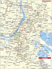
Travel Map of Kolkata
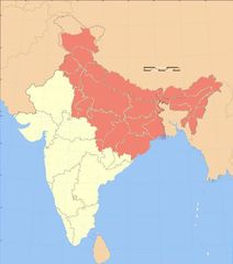
West Bengal
630x829 · 127,383k · jpg
Kolkata Map
State of Tamil Nādu
944x1200 · 215,499k · jpg
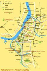
Tourist Map of Kolkata
State of Rājasthān
600x877 · 24,728k · png
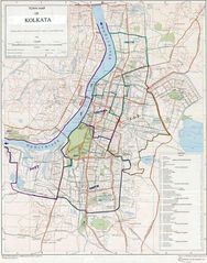
Road Map of Kolkata
Madhya Pradesh
757x1169 · 74,593k · png
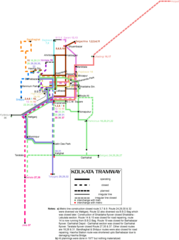
Transport Map of Kolkata
Ludhiana
775x1156 · 126,808k · jpg
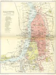
Historical Map of Kolkata
Lucknow
881x1100 · 285,155k · jpg
Location Map of Kolkata
Lucknow
1714x2000 · 95,974k · png
Map of Kolkata
Lucknow
1006x1400 · 285,666k · jpg
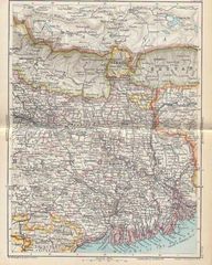
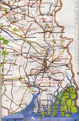
Hinterland of Kolkata Port
Republic of India
530x599 · 29,369k · jpg
City Map of Kolkata
Delhi
598x907 · 89,813k · jpg
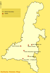
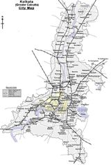
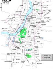
Kolkata City Map
Kolkata
1032x1350 · 268,883k · jpg
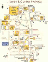
Travel Map of Central Kolkata
Kolkata
925x1200 · 165,376k · jpg
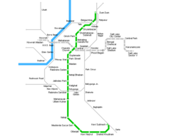
Kolkata Metro Map
Kolkata
800x650 · 10,067k · png
Historical Map Kolkata
Mumbai
1276x1700 · 385,974k · jpg
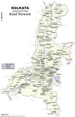
Map Kolkata
Mumbai
600x779 · 80,252k · jpg
Physical Map Kolkata
Mumbai
1181x1800 · 351,691k · jpg
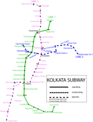
Subway Map of Kolkata
Mumbai
870x1166 · 38,418k · png
Subway Map Kolkata
Bengaluru
655x861 · 24,943k · png
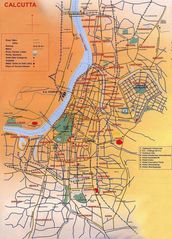
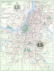
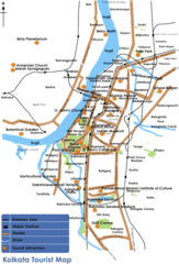
Tourist Map Kolkata
State of Andhra Pradesh
598x880 · 59,440k · png