Kolkata, West Bengal
Kolkata: Located in eastern India on the Hooghly River, this major metropolitan city is a cultural and educational center.
About
Quick Facts about Kolkata
| Population | 4,496,694 |
| Country | India, Company rule in Ind, British India |
| State | West Bengal (India) |
| County | Kolkata |
| Plate code | WB-01, WB-02, WB-03, WB-04 |
| Phone Area Codes | 33 |
| Area | 185 km2 |
| Official name | Kolkata, কলকাতা, कोलकता |
| Latitude & Longitude | 22.5626,88.3630 |
| Altitude | 30 feet / 9 meters |
| Capital city | Kolkata is capital of Presidency division, British India, West Bengal, Bengal Presidency, Company rule in Ind, Kolkata district |
| Time Zone | UTC+05:30 |
| Local time | 15:48:17 (15th June 2026) |
Geography
Kolkata is located at 22°33'45"N 88°21'47"E (22.5626300, 88.3630400).
Kolkata map
Click "full screen"  icon to open full mode. View satellite images
Official website of Kolkata
Official Website- Dhaka
- Incheon
- Karachi
- Kunming
- Long Beach
- Naples
- Odessa (1986 )
- Thessaloniki
Demographics
| Year | Population | % Change | Method |
|---|---|---|---|
| 1710 | 12,000 | - | estimation process |
| 1737 | 20,000 | 40% | estimation process |
| 1757 | 45,000 | 55.56% | estimation process |
| 1831 | 187,000 | 75.94% | estimation process |
| 1839 | 229,000 | 18.34% | estimation process |
| 1872 | 633,009 | 63.82% | estimation process |
| 1881 | 612,307 | -3.38% | estimation process |
| 1891 | 682,305 | 10.26% | estimation process |
| 1901 | 847,796 | 19.52% | estimation process |
| 1911 | 896,667 | 5.45% | estimation process |
| 1921 | 907,851 | 1.23% | estimation process |
| 1931 | 1,163,771 | 21.99% | estimation process |
| 1941 | 2,108,891 | 44.82% | estimation process |
| 1951 | 2,548,677 | 17.26% | estimation process |
| 1961 | 2,927,280 | 12.93% | estimation process |
| 1971 | 3,148,746 | 7.03% | estimation process |
| 1981 | 3,305,006 | 4.73% | estimation process |
| 1991 | 4,399,819 | 24.88% | estimation process |
| 2001 | 4,580,544 | 3.95% | estimation process |
| 2011 | 4,496,694 | -1.86% | estimation process |
CCU, Calcuta, Calcutta, Calcutá, Calcúta, Caligardamana, Kaelkuettae, Kal'kuta, Kal'kutta, Kal'kuttae, Kalikata, Kalikātā, Kalkata, Kalkota, Kalkouta, Kalkueta, Kalkuta, Kalkutta, Kalkútta, Kalküta, Kolkat, Kolkate, Kolkato, Kolkāta, Kälküttä, Kəlkətə, Sealdah, jia er ge da, jia li ji da, kalakata, kalakatta, keaൽkkatta, klkta, klkth, klkwth, ko l ka ta, kolakata, kolkatta, kolkata, korukata, kwlkata, kʼolkʼatʼa, qwlqth, Καλκούτα, Калькута, Калькуттæ, Калькутта, Колката, Колкате, Կալկաթա, כלכותה, קאלקאטא, קולקטה, كلكتا, كولكاتا, کلکته, کلکتہ, کولکاتہ, کَلٕکَتا, کەلکەتە, कलकत्ता, कोलकाता, কলকাতা, ਕੋਲਕਾਤਾ, કોલકાતા, କଲିକତା, கொல்கத்தா, కోల్కాతా, ಕೊಲ್ಕತ್ತ, കൊൽക്കത്ത, โกลกาตา, ཀ་ལི་ཀུ་ཏ, ကာလကတ္တားမြို့, კოლკატა, ኮልካታ, コルカタ, 加尔各答, 架利吉打, 콜카타
Map & Images (more maps)
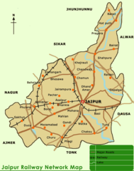
City Map of Jaipur
604 x 766
- 50,175k -
png
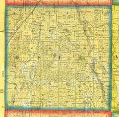
Historical Map Delhi
1280 x 1260
- 454,440k -
jpg
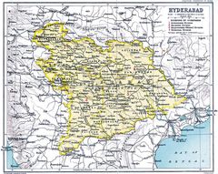
Historical Map of Hyderabad
1000 x 797
- 236,663k -
jpg
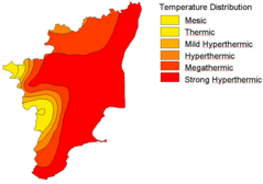
Isotherm Map of Tamil Nadu
1002 x 705
- 16,767k -
png
Kolkata City Map
1032 x 1350
- 268,883k -
jpg
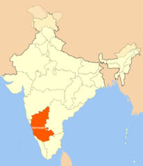
Location Map of Karnataka
1714 x 2000
- 101,264k -
png
Map Karnataka
600 x 628
- 30,517k -
png
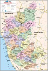
Map of Karnataka
884 x 1310
- 260,819k -
jpg
Physical Map Karnataka
650 x 812
- 100,851k -
jpg
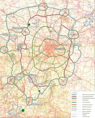
Road Map of Bangalore
600 x 738
- 107,920k -
jpg
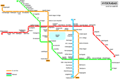
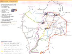
Subway Map Hyderabad
900 x 599
- 26,370k -
png
Subway Map of Hyderabad
1280 x 1114
- 232,280k -
jpg
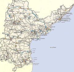
Tourist Map Andhra Pradesh
1200 x 1170
- 266,169k -
jpg
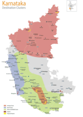
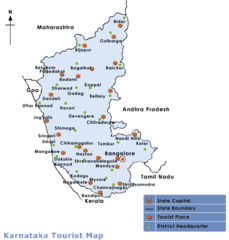
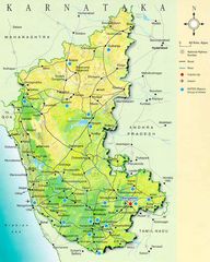
Tourist Map of Karnataka
714 x 1000
- 87,299k -
png
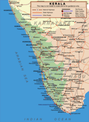
Transport Map of Kerala
750 x 1027
- 143,582k -
png
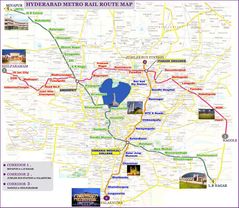
Travel Map Hyderabad
1600 x 1188
- 201,231k -
jpg
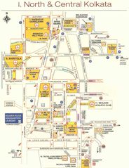
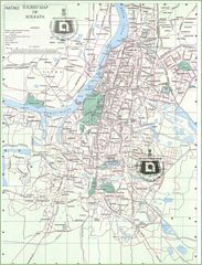
Travel Map of Central Kolkata
925 x 1200
- 165,376k -
jpg
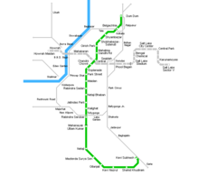
Kolkata Metro Map
800 x 650
- 10,067k -
png