Taiwan, TW
Taiwan: Located off the southeastern coast of mainland Asia, this island nation is characterized by its mountainous terrain, vibrant democracy, and advanced technology-driven economy.
About
Country Snapshot
Taiwan at a glance
Taiwan currently has 8 quality-checked populated place pages and 1 state or regional pages linked on MapSof.
Mapped cities & towns
8
These counts use a stricter populated-place filter so the main lists stay focused on real city and town pages.
States & regions
1
Open related pagesLargest city
KaohsiungPopulation 2,773,533
Top linked places
Quick Facts about Taiwan
| Population | 23,317,031 |
| Country | Taiwan |
| Different from | Republic of China (1912–1949), China |
| Area | 36193 km2 |
| Official name | สาธารณรัฐจีน, Republic of China, 中華民國 |
| Water as percent of area | 2.8% |
| Land as percent of area | 97.2% |
| Continent | Asia |
| Easternmost point | Point(122.10638889 25.485) |
| Latitude & Longitude | 24.0000,121.0000 |
| Legislative body | Legislative Yuan |
| Official language | Amis, Austronesian languages, Hakka, Formosan languages, Taiwanese Hokkien, Chinese, National language of Republic of China |
| Capital | Taipei, Nanking, Canton, Jingzhao, Chengdu, Nanking, Chungking, Chungking |
| Establishment | January 01, 1912 (114 years ago) |
| Time Zone | UTC+08:00 |
| Local time | 05:10:42 (10th June 2026) |
Geography
Taiwan is located at 24°0'0"N 121°0'0"E (24.0000000, 121.0000000). It has 3 neighbors: Philippines, China and Japan.
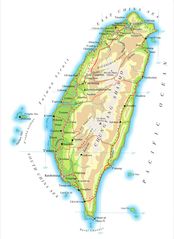
Taiwan map
The largest city of Taiwan is Taipei with a population of 2,692,118. . See all Taiwan cities & populated places.
Official website of Taiwan
Official WebsiteCompare Taiwan with
- Fujian Province
- New Taipei City
- Taichung
- Kaohsiung
- Xinjiang Province
- Tainan
- Taipei
- Hejiang Province
- Taoyuan City
- Taiwan Province
Demographics
| Year | Population | % Change | Method |
|---|---|---|---|
| 2026 | 23,317,031 | - |
Map & Images (more maps)
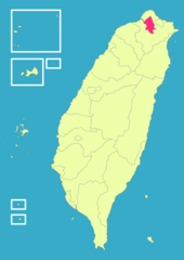
Taiwan
Taiwan Airfields Map
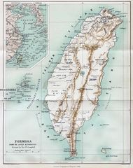
1896 Map of Taiwan Formosa
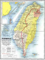
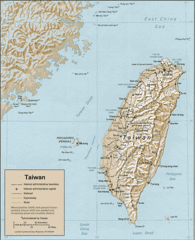
Map of Formosa 1901
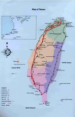
Map Taiwan
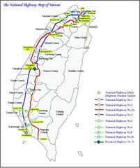
National Highway of Taiwan
Taiwan 1
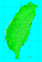
Taiwan Map
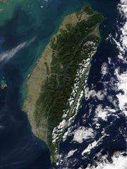
Taiwan Nasa Terra Modis Satellite Image
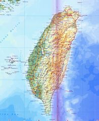
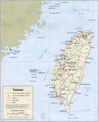
Taiwan Physical Map
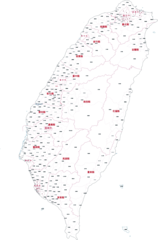
Administrator Map of Roc Chinese
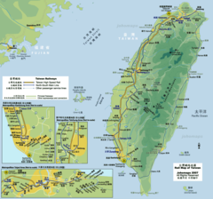
Rail Map of Taiwan
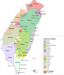
Taiwan Languages