Taiwan Nasa Terra Modis Satellite Image

Click on the Taiwan Nasa Terra Modis Satellite Image to view it full screen. File Type: jpg, File size: 321771 bytes (314.23 KB), Map Dimensions: 1200px x 1600px (16777216 colors)
More Taiwan Static Maps
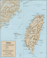
Taiwan
977 x 1201 - 276,332k - gif
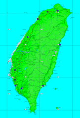
Taiwan Airfields Map
1376 x 2028 - 169,823k - gif
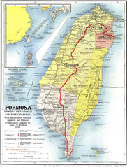
1896 Map of Taiwan Formosa
1600 x 2020 - 415,849k - jpg
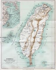
Map of Formosa 1901
1000 x 1313 - 493,508k - jpg
Map Taiwan
1600 x 2485 - 154,009k - jpg
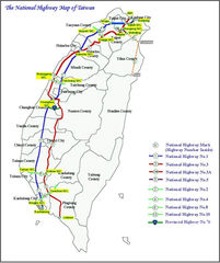
National Highway of Taiwan
838 x 1000 - 147,216k - jpg
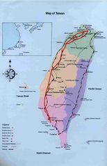
Taiwan 1
787 x 965 - 160,685k - jpg
Taiwan Map
963 x 1324 - 115,667k - jpg
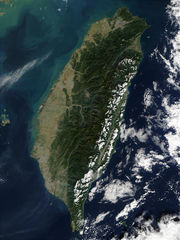
Taiwan Nasa Terra Modis Satellite Image
1200 x 1600 - 321,771k - jpg
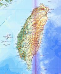
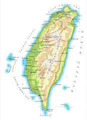
Taiwan Physical Map
1800 x 2197 - 493,483k - jpg
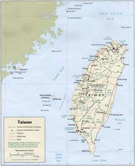
Administrator Map of Roc Chinese
1900 x 2886 - 393,614k - png
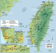
Rail Map of Taiwan
1026 x 958 - 138,884k - png
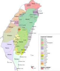
Taiwan Languages
1492 x 1755 - 165,806k - png
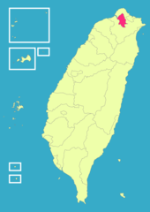
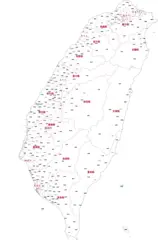
Taiwan Roc Political Division Map Taipei City
1200 x 1694 - 56,226k - png