MapSof
.net
Places
Countries
States
Capital Cities
All Places
Maps
Physical Maps
Political Maps
Historical Maps
All Maps
Tools
Distance Calculator
Address Locator
Geocoder
Street View
Coordinate Finder
Distances
Countries
States
Cities
Maps
Distance Calculator
Geocoder
Distances
Home
/
Maps
/
Physical Maps
Physical Maps
Browse our collection of physical maps from around the world.
Physical
Political
Historical
Relief
Climate
Thematic
Elevation
Satellite
Road
Topo
Street
Contour
Election
Showing
15
maps
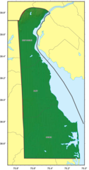
Delaware Regions Map
Delaware
605x1501 · 17,616k · png
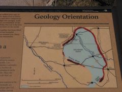
Delaware Basin Geology Exhibit
Texas
1400x1050 · 92,935k · jpg
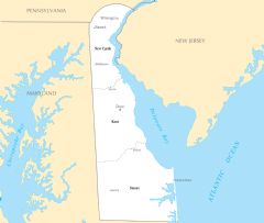
Map of Delaware Na 1
Delaware
1200x927 · 93,692k · png
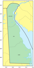
Counties Map of Delaware
Delaware
666x1322 · 37,722k · png
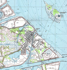
Delaware City Map
Delaware
1225x1267 · 532,089k · jpg
Delaware Relief Map
Delaware
686x1300 · 98,837k · png
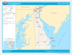
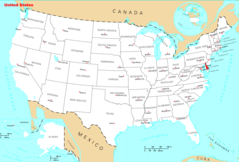
Where Is Delaware Located
Delaware
1476x1002 · 135,989k · png
Delaware Cities And Towns
Delaware
2451x2070 · 126,151k · PNG
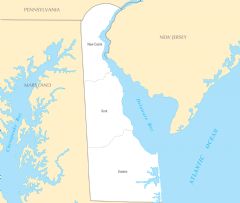
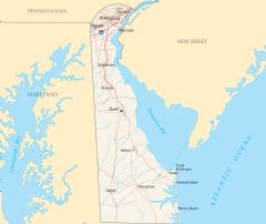
Delaware County Map
Delaware
2445x2064 · 120,281k · PNG
Delaware Reference Map
Delaware
2454x2061 · 354,110k · PNG
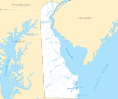
Delaware Rivers And Lakes
Delaware
2460x2073 · 157,276k · PNG
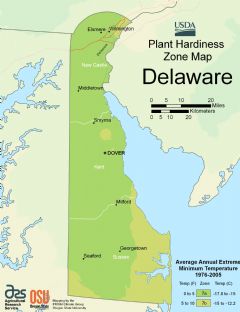
Delaware Plant Hardiness Zone Map
Delaware
2216x2880 · 153,778k · PNG
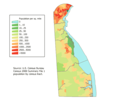
Delaware Population Map
United States
600x500 · 13,060k · png
Map of Delaware Na
United States
1200x927 · 93,692k · png
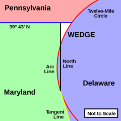
Delaware Wedge
Pennsylvania
920x920 · 15,409k · png