MapSof
.net
Places
Countries
States
Capital Cities
All Places
Maps
Physical Maps
Political Maps
Historical Maps
All Maps
Tools
Distance Calculator
Address Locator
Geocoder
Street View
Coordinate Finder
Distances
Countries
States
Cities
Maps
Distance Calculator
Geocoder
Distances
Home
/
Maps
/
Physical Maps
Physical Maps
Browse our collection of physical maps from around the world.
Physical
Political
Historical
Relief
Climate
Thematic
Elevation
Satellite
Road
Topo
Street
Contour
Election
Showing
153
maps — Page 1 of 4
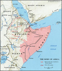
The Horn of Africa Map
Somalia
1026x1166 · 265,978k · jpg
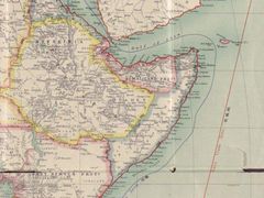
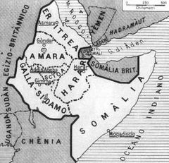
Horn of Africa Map Around 1900
Republic of Djibouti
640x480 · 62,175k · jpg
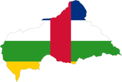
Central African Republic Flag Map
Central African Republic
2048x1382 · 35,271k · png
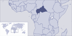
Where Is Central African Republic Located
Central African Republic
1000x500 · 45,234k · png
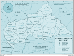
Central African Republic
Central African Republic
2526x1929 · 383,861k · png
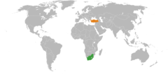
South Africa Turkey Locator 1
Republic of Turkey
920x406 · 25,186k · png
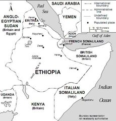
Horn of Africa And Southwest Arabia Mid 1930s
Federal Democratic Republic of Ethiopia
503x525 · 74,134k · jpg
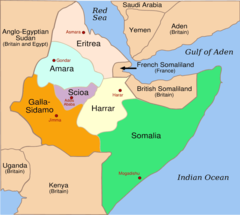
Italian East Africa 1936 1940 1
Federal Democratic Republic of Ethiopia
920x825 · 30,212k · png
Italian East Africa Map 1
Federal Democratic Republic of Ethiopia
349x336 · 34,163k · jpg
Italian East Africa 1936 1940
State of Eritrea
920x825 · 30,212k · png
Italian East Africa Map
State of Eritrea
349x336 · 34,163k · jpg
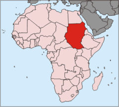
Africa Nilemap 01
Arab Republic of Egypt
200x252 · 22,538k · png
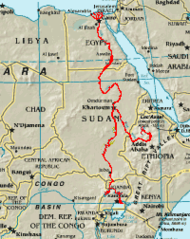
Locationsudan Africa
Republic of the Sudan
330x299 · 10,297k · png
800px South Africa 2010 Fifa World Cup
Republic of South Africa
800x566 · 9,296k · png
Africa Mapa
Republic of South Africa
587x327 · 7,017k · gif
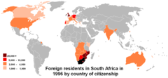
Cob Data South Africa
Republic of South Africa
1357x628 · 27,373k · png
Map of South Africa (1818)
Republic of South Africa
384x288 · 19,460k · jpg
South Africa Districts April 2006
Republic of South Africa
1141x828 · 23,414k · png
South Africa Districts Template
Republic of South Africa
1141x828 · 17,151k · png
South Africa Districts Showing Dmas
Republic of South Africa
1145x828 · 20,291k · png
South Africa Districts Showing Gp
Republic of South Africa
1141x828 · 17,297k · png
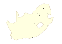
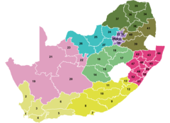
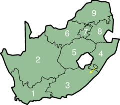
South Africa Provinces Numbered
Republic of South Africa
1145x828 · 10,538k · png
South Africa Provinces Showing Ec
Republic of South Africa
1146x828 · 9,732k · png
South Africa Provinces Showing Fs
Republic of South Africa
1146x828 · 9,763k · png
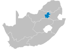
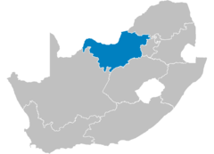
South Africa Provinces Showing Gt
Republic of South Africa
1146x828 · 9,692k · png
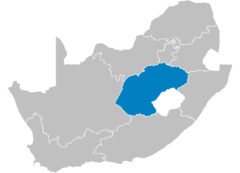
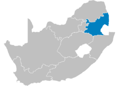
South Africa Provinces Showing Kz
Republic of South Africa
1146x828 · 9,668k · png
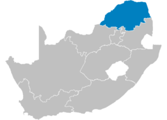
South Africa Provinces Showing Lp
Republic of South Africa
1146x828 · 9,675k · png
South Africa Provinces Showing Mp
Republic of South Africa
1146x828 · 9,718k · png
South Africa Provinces Showing Nc
Republic of South Africa
1146x828 · 9,739k · png
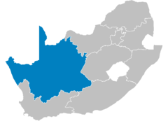
South Africa Provinces Showing Nw
Republic of South Africa
1146x828 · 9,741k · png
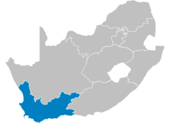
South Africa Provinces Showing Wc
Republic of South Africa
1146x828 · 9,719k · png
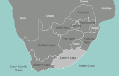
South Africa Provinces
Republic of South Africa
1146x828 · 9,613k · png
South Africa Turkey Locator
Republic of South Africa
920x406 · 25,186k · png
South Africa Blank
Republic of South Africa
920x665 · 18,273k · png
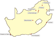
South Africa 2010
Republic of South Africa
780x523 · 15,268k · png
Southafricanumbered
Republic of South Africa
400x350 · 10,628k · png
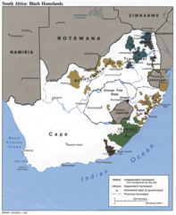
Southafricanhomelandsmap
Republic of South Africa
1014x1234 · 224,719k · png
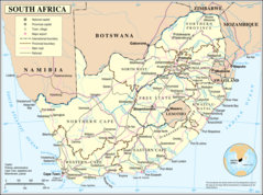
Un South Africa
Republic of South Africa
1200x892 · 253,052k · png
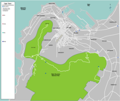
South Africa Cape Town Map
Republic of South Africa
2127x1796 · 210,373k · png
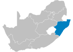
South Africa Eastern Cape Map
Republic of South Africa
940x600 · 39,720k · png
«
1
2
3
4
»