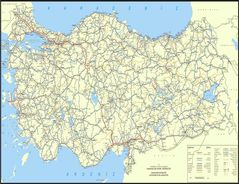
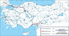
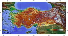
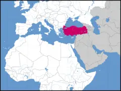
Map of Turkey
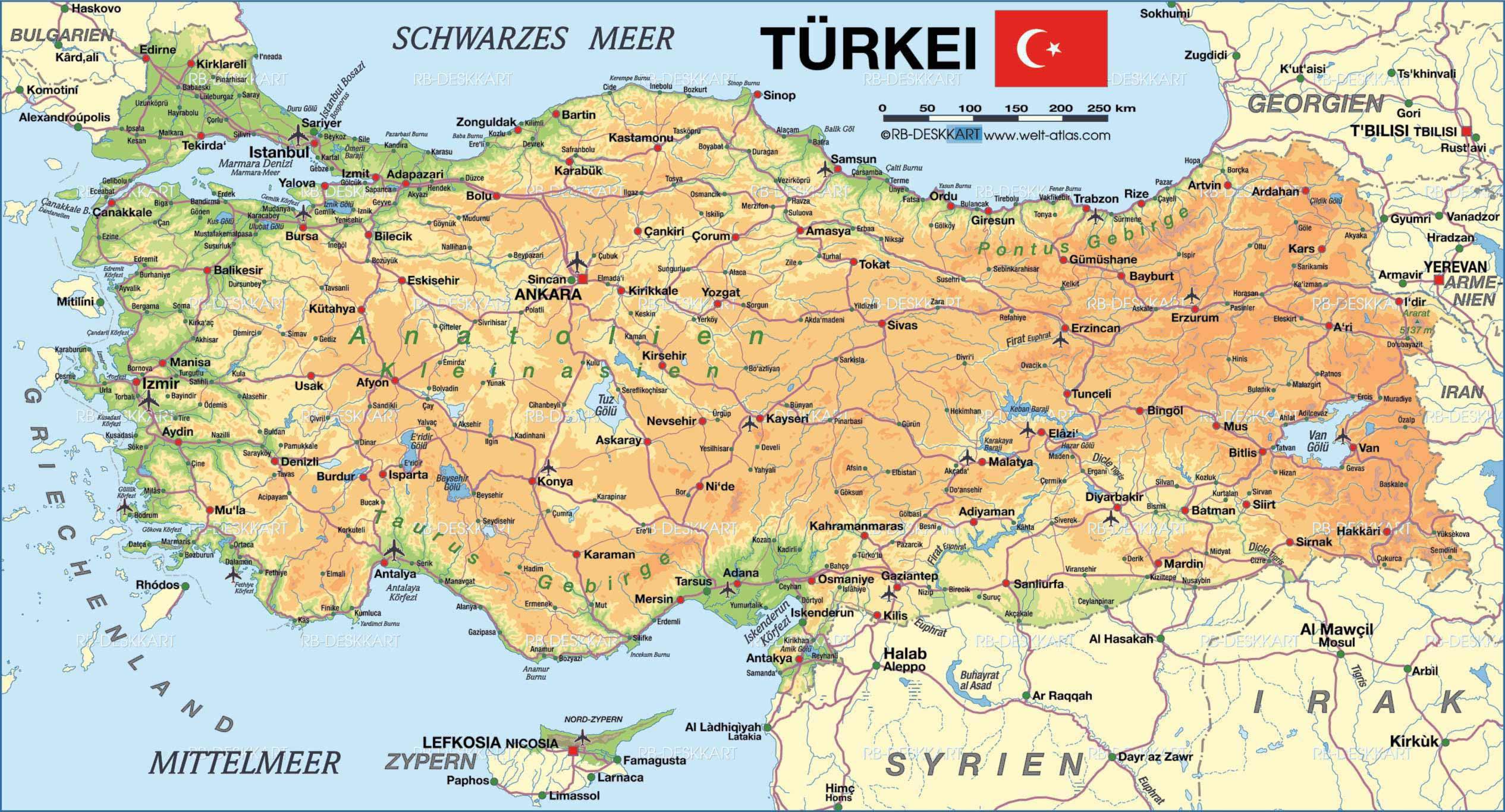
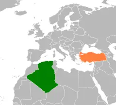
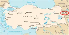
Turkey is a transcontinental Eurasian nation located on the Anatolian peninsula. Examining the map of Turkey provides insight into its diverse geography and strategic location.
Regions
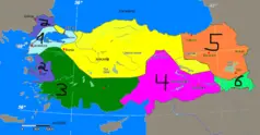
Turkey is divided into 7 main geographical regions:
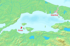
- Marmara Region - Northwestern region containing Istanbul and the Marmara Sea.
- Aegean Region - Western region with a long coastline along the Aegean Sea.
- Mediterranean Region - Southern region bordering the Mediterranean Sea.
- Central Anatolia - Dry central plateau region far from Turkey's coasts.
- Eastern Anatolia - Mountainous eastern region containing Mount Ararat.
- Southeastern Anatolia - Region bordering Syria and Iraq.
- Black Sea Region - Northern region along the Black Sea coast.
Major Cities
Prominent cities include:
- Istanbul - Largest city straddling Europe and Asia. Former capital during the Byzantine and Ottoman empires.
- Ankara - Modern capital city located in the Central Anatolia region.
- Izmir - Third largest city located in the Aegean region along the coast.
Waterways
- The Bosphorus Strait runs through Istanbul, connecting the Sea of Marmara to the Black Sea.
- The Dardanelles Strait provides access from the Aegean Sea to the Sea of Marmara.
In summary, Turkey's diverse regions, major cities, and strategic waterways demonstrate why it has been a center of power and trade throughout history.
