South Carolina Rivers And Lakes
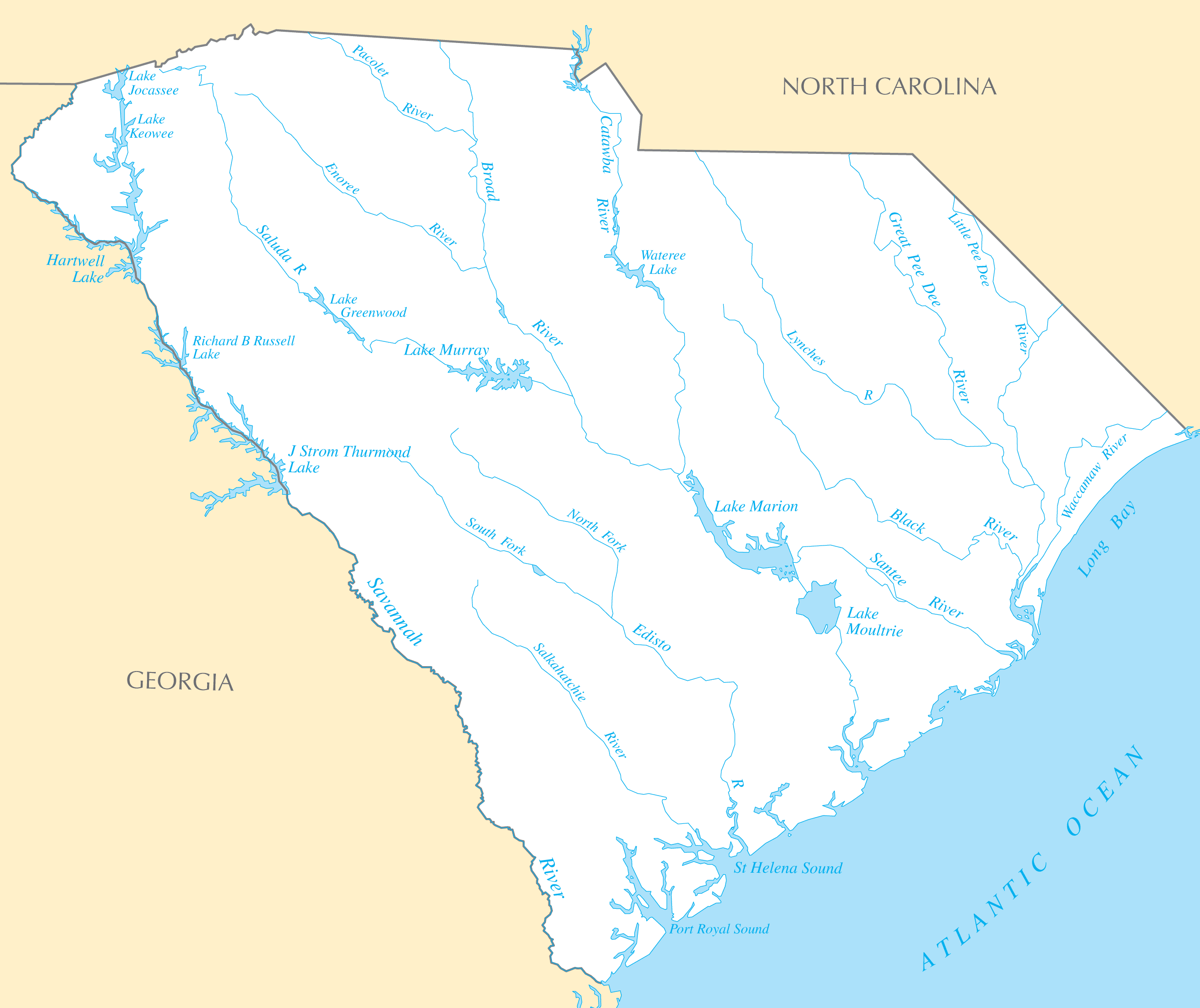
South Carolina's river systems define its geographic regions and major cities.
The Pee Dee River
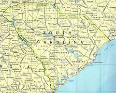
The Pee Dee River runs through the Pee Dee region in the northeast part of the state. It was a trade route and supported development of cities like Cheraw and Georgetown.
The Santee River
The Santee River flows through the central region around Columbia, the state's capital and largest city. The Santee has enabled shipping since colonial times.
The Savannah River
Forming much of the state's western border with Georgia, the Savannah River acted as an early trade corridor. It remains important for shipping to the port of Savannah.
Major Lakes and Reservoirs
In addition to rivers, several lakes provide recreation or hydroelectricity.
Lake Marion
Lake Marion was created as a reservoir by damming the Santee River during the 1930s. It is South Carolina's largest lake at over 110,000 acres.
Lake Hartwell
Lake Hartwell spans both South Carolina and Georgia. Its man-made reservoir has over 960 miles of shoreline and popular recreational areas.
Lake Jocassee
Lake Jocassee is known for its clear waters and mountain views in northwest South Carolina. Much of its shoreline is protected parkland.
The Palmetto State's storied rivers and lakes continue to provide economic and natural value.
