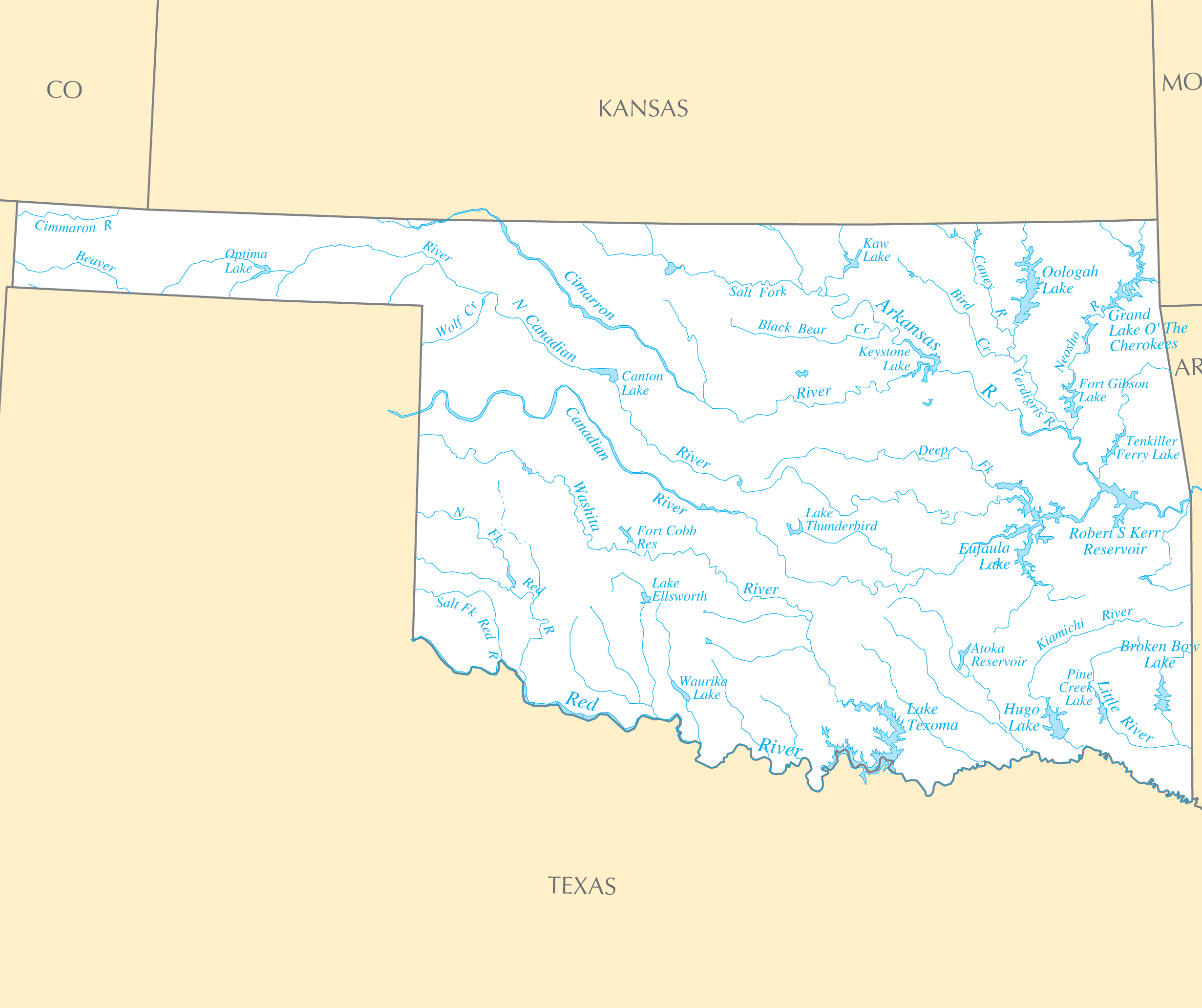
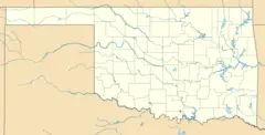
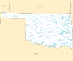
Oklahoma Rivers And Lakes
Oklahoma's rivers served as gateways to settle and develop the region.
The Arkansas River
The Arkansas River forms much of Oklahoma's border with Kansas and Arkansas. It supported cattle drives and trade to the frontier.
The Cimarron River
The Cimarron River in the northwest corner of Oklahoma was part of the land rush settling of the Cherokee Outlet.
The Canadian River
The Canadian River flows down from New Mexico through the Texas panhandle and central Oklahoma. Early railroads followed the river valley.
Lakes Bring Recreation and Water Storage
Oklahoma also relies on man-made lakes and reservoirs.
Lake Texoma
Formed by damming the Red River, Lake Texoma sits on the Texas border and attracts tourism.
Lake Eufaula
Lake Eufaula provides hydroelectric power in east central Oklahoma as well as ample fishing opportunities.
Lake Murray
Lake Murray in southern Oklahoma is a state park drawing outdoor recreation like camping, boating, and hiking.
Oklahoma's water resources remain essential for energy, agriculture, and recreation.
More Oklahoma Static Maps
Map of Oklahoma Na 1
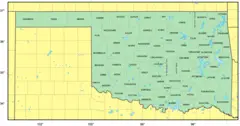
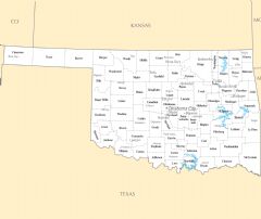
Map of Cities Counties In Oklahoma
Usa Oklahoma Location Map

Oklahoma Flag Map
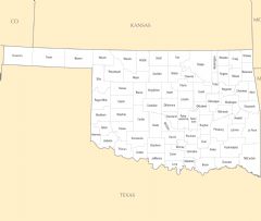
Counties Map of Oklahoma
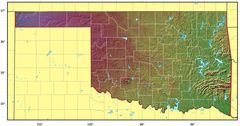
Oklahoma Relief Map
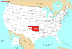
Where Is Oklahoma Located
Oklahoma Cities And Towns
Oklahoma County Map
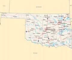
Oklahoma Reference Map
Oklahoma Rivers And Lakes