Tokyo, Tokyo
Tokyo: This bustling metropolis is located on the eastern coast of Honshu, Japan's largest island, and serves as the nation's political, economic, and cultural center.
About
Quick Facts about Tokyo
| Population | 13,942,856 |
| Country | Japan |
| State | Tokyo (Japan) |
| Different from | Tokyo |
| Twitter username | tocho_koho |
| Area | 2187.66 km2 |
| Official name | 東京都, Едо |
| Has part | special wards of Tokyo, Western Tokyo, Tokyo, Tokyo Metropolitan Government |
| Latitude & Longitude | 35.6895,139.6917 |
| Legislative body | Tokyo Metropolitan Assembly |
| Altitude | 20 feet / 6 meters |
| Capital | Shinjuku-ku |
| Capital city | Tokyo is capital of occupation of Japan, Empire of Japan, Japan |
| Establishment | January 01, 1603 (423 years ago) |
| Time Zone | Japan Standard Time, UTC+09:00 |
| Local time | 08:40:18 (10th June 2026) |

Tokyo Montage 2015 image
Geography
Tokyo is located at 35°41'22"N 139°41'30"E (35.6895000, 139.6917100).
Tokyo map
Click "full screen"  icon to open full mode. View satellite images
- Amman
- Beijing (1979 )
- Berlin (1994 )
- Cairo Governorate (1990 )
- Casablanca
- Damascus
- Delhi
- Jakarta (1989 )
- London (2015 )
- Moscow (1991 )
- New Delhi
- New South Wales (1984 )
- New York City (1960 )
- Paris (1982 )
- Rome (1996 )
- Seoul (1988 )
- São Paulo (1990 )
- Akishima
- Katsushika-ku
- Hamura
- Kokubunji
- Nerima-ku
- Tachikawa
- Komae
- Hino
- Fussa
- Bunkyō-ku
- Ōshima
- Toshima-ku
- Hinohara
- Higashikurume
- Machida
- Shibuya-ku
- Musashimurayama
- Suginami-ku
- Kiyose
- Arakawa-ku
- Adachi-ku
- Niijima
- Sumida-ku
- Mizuho
- Higashiyamato
- Shinagawa-ku
- Kōzushima
- Mikurajima
- Inagi
- Nakano-ku
- Minato-ku
- Okutama
- Toshima
- Chōfu
- Aogashima
- Itabashi-ku
- Taitō-ku
- Kōtō-ku
- Kodaira
- Meguro-ku
- Miyake
- Ōta-ku
- Kita-ku
- Higashimurayama
- Ogasawara
- Shinjuku-ku
- Koganei
- Edogawa-ku
- Kunitachi
- Mitaka
- Hachiōji
- Setagaya-ku
- Tama
- Musashino
- Akigawa
- Yugi
- Hōya
- Nishitōkyō
- Akiruno
- Sakai
- Nihonbashi-ku
- Ōme
- Kawaguchi
- Osoki
- Yui
- Utsuki
- Kasumi
- Mita
- Yoshino
- Yokoyama
- Hachijō
- Fuchū
- Motohachiōji
- Ongata
- Nariki
- Chōfu
- Asakawa
- Kanda-ku
- Tanashi
- Chiyoda-ku
- Tadao
- Fuchū
- Machida
- Kasumi
- Shōwa
- Tama
- Ōme
- Ōkagō
- Nishifu
- Kōjimachi-ku
- Itsukaichi
- Chūō-ku
- Sunagawa
- Hinode
- Kyōbashi-ku
- Tsurukawa
Demographics
| Year | Population | % Change | Method |
|---|---|---|---|
| 2005 | 12,576,611 | - | census |
| 2010 | 13,159,388 | 4.43% | census |
| 2015 | 13,513,734 | 2.62% | census |
| 2019 | 13,942,856 | 3.08% | census |
Map of countries with a smaller population than Tokyo
Edo, TYO, Tochiu, Tocio, Tokija, Tokijas, Tokio, Tokió, Tokjo, Toquio, Toquio - dong jing, Toquio - 東京, Tòquio, Tókýó, Tóquio, Tōkyō, dokyo, dong jing, dong jing dou, dong-gyeong, tokeiyw, toki'o, tokkiyo, twkyw, twqyw, Τόκιο, Токио, Токё, Токіо, Տոկիո, טוקיו, توكيو, توکیو, طوكيو, ܛܘܟܝܘ, ܜܘܟܝܘ, टोक्यो, টোকিও, டோக்கியோ, โตเกียว, ტოკიო, 东京, 東京, 東京都, 도쿄, 동경
Map & Images (more maps)
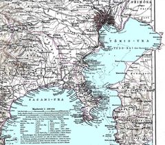
Tokyo East1879
1600 x 1399
- 465,401k -
jpg
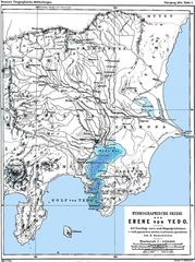
Yedo1879
1400 x 1875
- 379,033k -
jpg
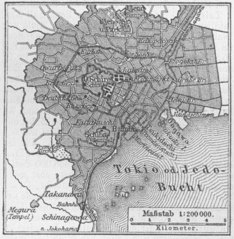
Karte Tokia Mkl1888
366 x 374
- 60,921k -
png
Aogashima In Tokyo Prefecture Ja
920 x 784
- 30,099k -
png
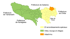
Carte Adachi Ku Fr
1440 x 801
- 26,067k -
png
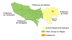
Carte Arakawa Ku Fr
1440 x 801
- 26,138k -
png
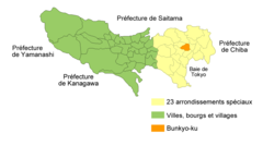
Carte Bunkyo Ku Fr
1440 x 801
- 25,947k -
png
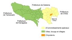
Carte Chiyoda Ku Fr
1440 x 801
- 26,215k -
png
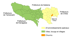
Carte Chuo Ku Fr
1440 x 801
- 25,857k -
png
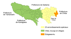
Carte Edogawa Ku Fr
1440 x 801
- 26,268k -
png
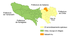
Carte Itabashi Ku Fr
1440 x 801
- 25,957k -
png
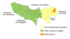
Carte Katsushika Ku Fr
1440 x 801
- 26,213k -
png
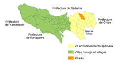
Carte Kita Ku Fr
1440 x 801
- 25,812k -
png
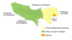
Carte Koto Ku Fr
1440 x 801
- 25,820k -
png
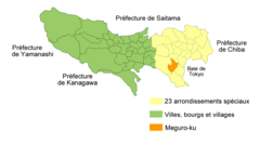
Carte Meguro Ku Fr
1440 x 801
- 26,134k -
png

Carte Minato Ku Fr
1440 x 801
- 26,047k -
png
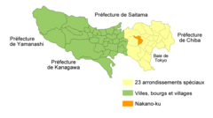
Carte Nakano Ku Fr
1440 x 801
- 25,991k -
png
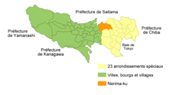
Carte Nerima Ku Fr
1440 x 801
- 26,009k -
png
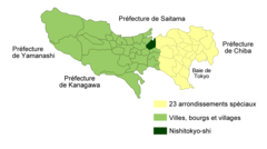
Carte Nishitokyo Fr
1440 x 801
- 26,138k -
png
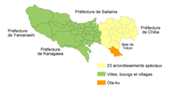
Carte Ota Ku Fr
1440 x 801
- 25,849k -
png
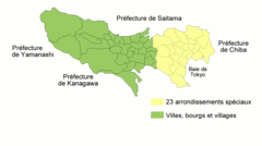
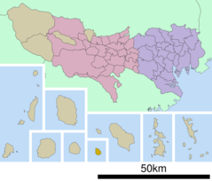
Carte Prefecture Tokyo
1440 x 801
- 22,019k -
png