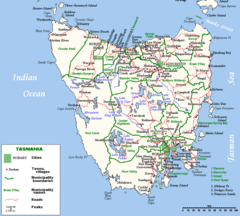
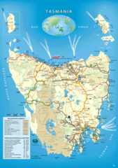
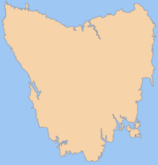
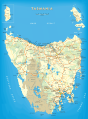
Map of Tasmania
Tasmania is an island state located off the southern coast of Australia. Examining the map of Tasmania provides insight into its geography and landmarks.
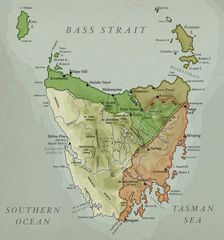
Regions
- Northern Tasmania - Least populated area with rocky coastlines and mountains. Contains Launceston, the second largest city.
- North Western Tasmania - Features temperate rainforests and agricultural land.
- Western Tasmania - Rugged, remote terrain rich in minerals and hydro power.
- Central Tasmania - Contains the Midlands plains used for agriculture and sheep grazing.
- South Eastern Tasmania - The most populated region containing the capital Hobart.
Major Cities
-
Hobart - Capital and largest city on the state's southern coast.
- Launceston - Second most populous city, located in the north.
Landmarks
- Cradle Mountain - Famous national park with stunning natural scenery.
- Port Arthur Historic Site - Open air museum and former penal colony.
- Freycinet National Park - National park on the east coast known for Wineglass Bay.
In summary, Tasmania's map depicts the diversity of landscapes and settlements across Australia's southernmost state.

Click on the Map of Tasmania to view it full screen. File Type: png, File size: 231535 bytes (226.11 KB), Map Dimensions: 1174px x 1583px (256 colors)
More Tasmania Static Maps
Beaconsfield Tasmania Location Map
1200 x 1409 - 78,279k - png
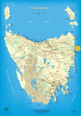
Tasmania
1150 x 1338 - 73,659k - png
Tasmania Bass Strait Map
800 x 1111 - 86,726k - png
Tasmania Island
1000 x 898 - 188,780k - png
Tasmania Map
1150 x 1385 - 168,011k - jpg
Tasmania Map 1
926 x 1314 - 359,691k - png
Tasmania Map 2
1180 x 1691 - 221,297k - jpg
Tasmania Map In 1916
1091 x 1165 - 205,447k - jpg
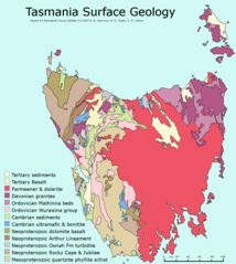
Tasmania Surface Geology Map
1005 x 1122 - 47,070k - png
Blank Map of Tasmania
1800 x 1873 - 75,762k - png
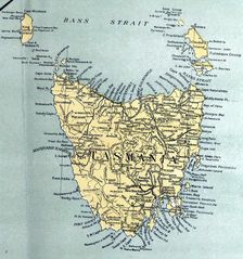
Historical Map of Tasmania
803 x 860 - 108,685k - jpg
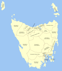
Local Government Map of Tasmania
1000 x 1143 - 75,059k - png
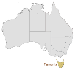
Location Map of Tasmania
1493 x 1380 - 47,042k - png
Map of Tasmania
1174 x 1583 - 231,535k - png
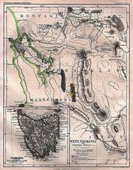
Historical Map West Tasmania (1865)
939 x 1200 - 323,098k - jpg
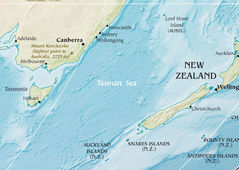
Tasman Sea
771 x 548 - 106,527k - jpg