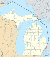
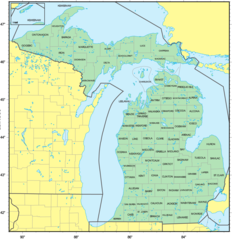
Counties Map of Michigan

Click on the Counties Map of Michigan to view it full screen. File Type: png, File size: 131987 bytes (128.89 KB), Map Dimensions: 1260px x 1299px (256 colors)
More Michigan Static Maps
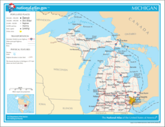
Map of Michigan Na 1
1200 x 927 - 124,940k - png
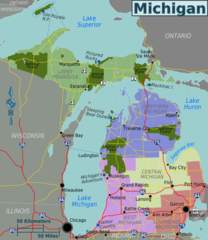
Michigan Regions Map
1736 x 2000 - 262,318k - png
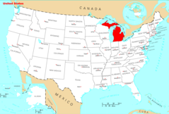
Usa Michigan Location Map
1000 x 1126 - 95,621k - png
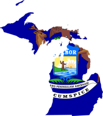
Michigan Flag Map
1282 x 1452 - 47,964k - png
Counties Map of Michigan
1260 x 1299 - 131,987k - png
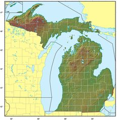
Michigan Relief Map
1610 x 1662 - 310,923k - jpg
Where Is Michigan Located
1476 x 1002 - 135,829k - png
Michigan Cities And Towns
2448 x 2070 - 200,482k - PNG

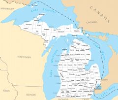
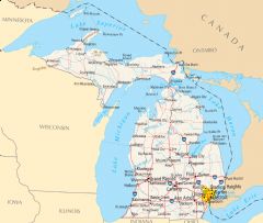
Michigan County Map
2454 x 2073 - 174,058k - PNG
Michigan Reference Map
2454 x 2079 - 511,290k - PNG
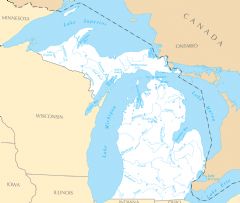
Michigan Rivers And Lakes
2451 x 2073 - 169,569k - PNG
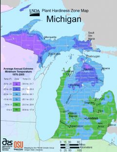
Michigan Plant Hardiness Zone Map
2224 x 2888 - 252,887k - PNG