Where Is Iowa Located
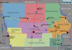
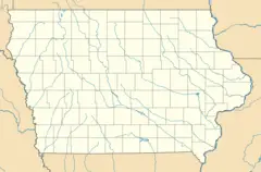
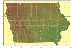
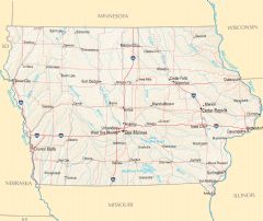
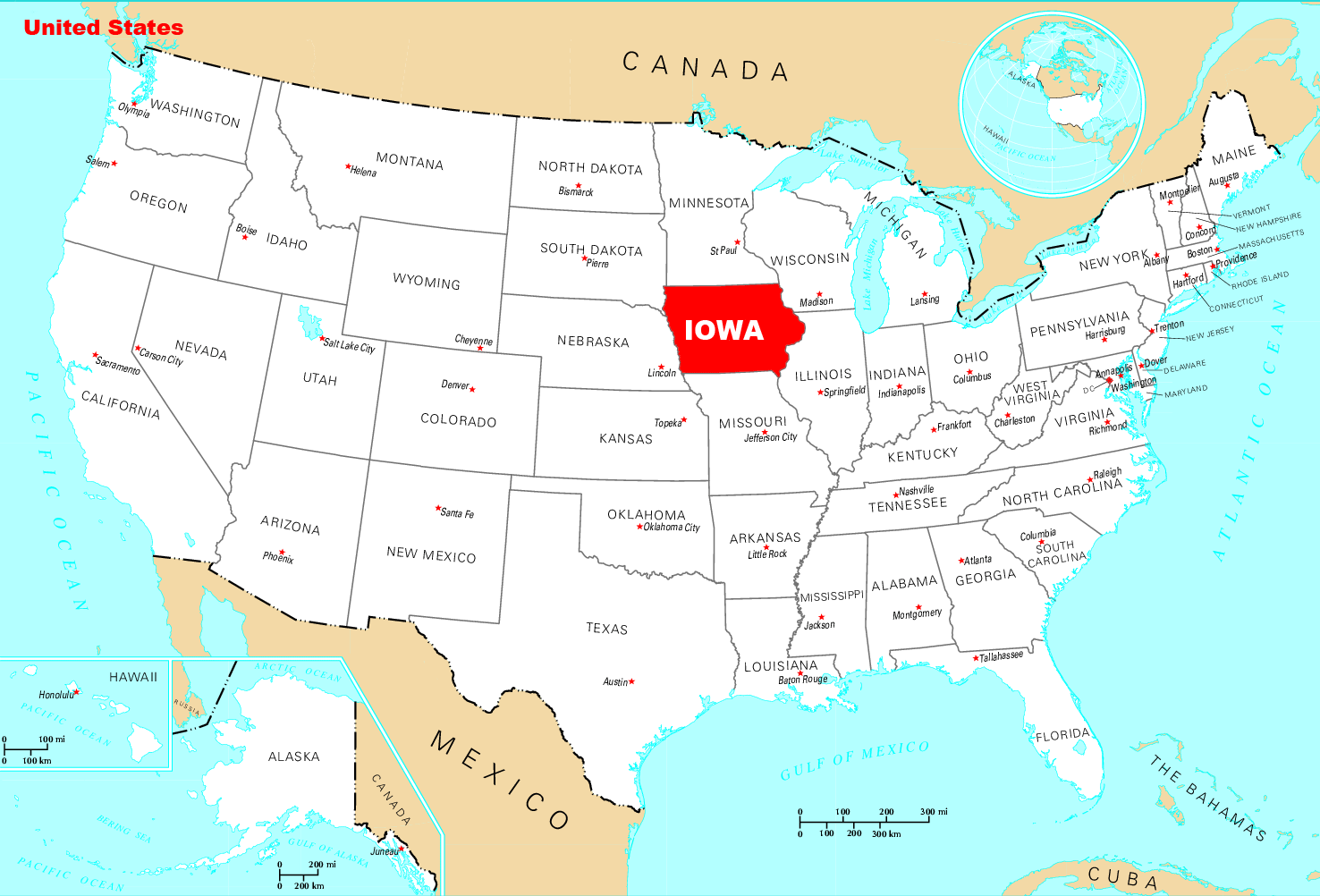
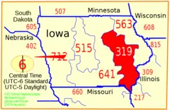
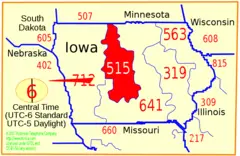
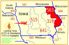
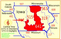
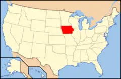
Iowa is situated within the American Midwest, bordered by the Mississippi River and Missouri River. Learning exactly where Iowa falls on a U.S. map provides greater perspective on the state.
Part of the Great Plains
Iowa is considered part of the Great Plains region which covers central United States from the Rocky Mountains to the Mississippi River. This means most of Iowa consists of flat or rolling prairies.
Bordered by Major Waterways
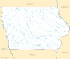
Iowa's eastern border follows the Mississippi River which separates it from Wisconsin and Illinois. The Missouri River flows along Iowa's western edge, dividing it from Nebraska and South Dakota. These rivers were key transportation routes for Native Americans and early settlers.
Surrounded by Midwestern States
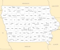
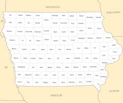
Iowa touches Minnesota to the north and Missouri to the south. It shares its eastern border with Wisconsin and Illinois. Nebraska lies to the west of Iowa. All of Iowa's neighboring states are considered part of the Midwest.
Heart of Corn Country
Iowa falls squarely within the Corn Belt, a fertile agricultural region where corn and soybeans dominate crop production. Iowa leads the nation in corn production, earning it the nickname "America's corn state."
Central Location
Iowa enjoys a central U.S. location, positioned between prominent hubs like Chicago, Minneapolis, Kansas City, and St. Louis. This accessibility was advantageous for Iowa's growth.
In summary, Iowa occupies an ideal Midwestern location characterized by prairie land, major rivers, proximity to major metros, and extremely productive farmland. This unique combination shaped the state's culture and economy.
_map.png)
_map.png)
_map.png)
_map.png)
_map.png)
_map.png)
_map.png)
_map.png)

.png)
