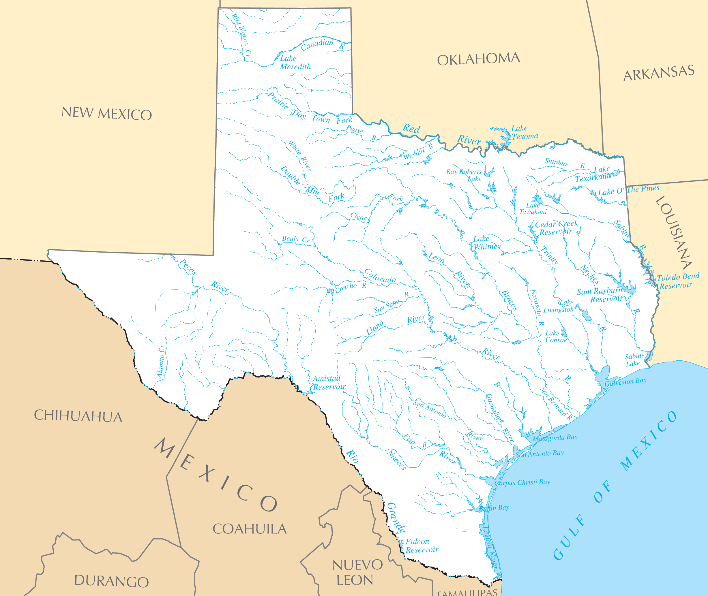
Texas Rivers And Lakes
Texas has several legendary rivers that have shaped its history and landscape.
The Rio Grande
The Rio Grande forms the border between Texas and Mexico. El Paso and other cities bloomed along the Rio Grande border trade route.
The Pecos River
The Pecos River crosses the western half of the state through the Trans-Pecos region. The Pecos supported frontier outposts and cattle drives.
The Brazos River
The Brazos River runs through the central region around Waco, College Station, and southeast Texas. Early settlers relied on the Brazos.
Important Reservoirs
Massive reservoirs across Texas provide water supply, power, and recreation.
Lake Amistad
Lake Amistad is a large reservoir on the Rio Grande along the border. It provides water to West Texas and power.
Lake Texoma
Straddling Texas and Oklahoma, Lake Texoma sustains the water supply for Dallas-Fort Worth and generates hydropower.
Toledo Bend Reservoir
Toledo Bend Reservoir on the Sabine River is one of the largest man-made lakes in the south at 185,000 acres.
Protecting Texas' scarce water resources will remain crucial to supporting its growing population.
More Texas Static Maps
Map of Texas Na 1
Anderson County Texas
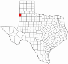
Andrews County Texas
Angelina County Texas
Aransas County Texas
Archer County Texas
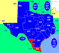
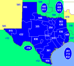
Area Code 956
Area Codes Tx
Armstrong County Texas
Atascosa County Texas
Austin County Texas
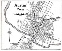
Austin Tx 1920 Map
Bailey County Texas
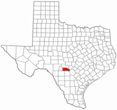
Bandera County Texas
Bastrop County Texas
Baylor County Texas
Bee County Texas
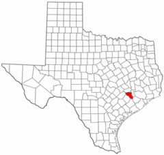
Bell County Texas
Bexar County Texas
Blanco County Texas
Blank Map of Texas
Borden County Texas
Bosque County Texas
Bowie County Texas
Brazoria County Texas
Brazos County Texas
Brewster County Texas
Briscoe County Texas
Brooks County Texas