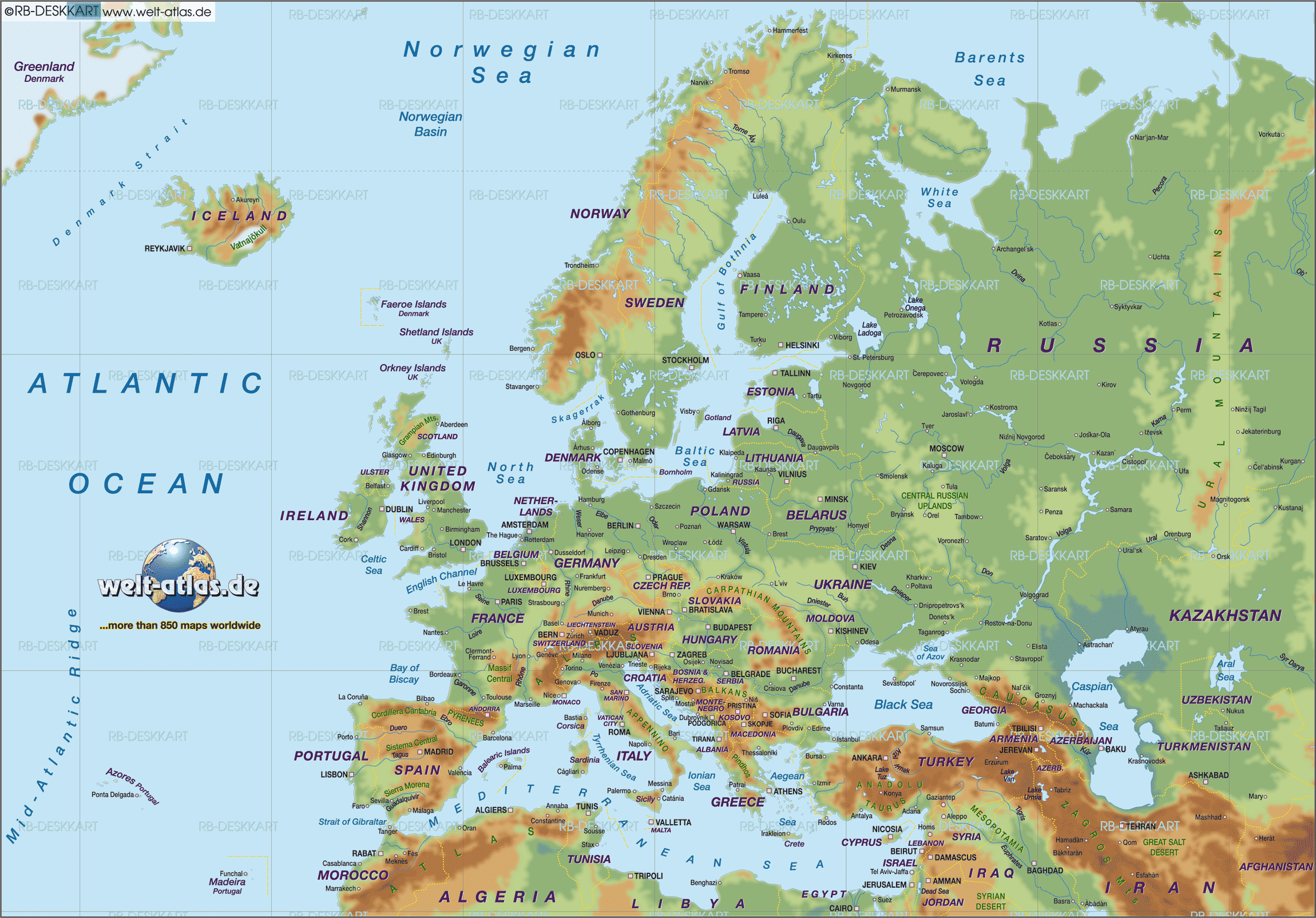
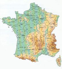
Physical Map of Europe
The physical map of Europe shows the geographic features across the continent, like mountains, rivers, lakes, and seas. Europe's diverse physical geography has heavily influenced its history, cultures, and economies. Some key aspects of Europe's physical map are:
Topography and Major Geographic Regions
Europe can be divided into several main topographic regions:
The Northern European Plain
This massive plain stretches from the Ural Mountains in Russia to the Atlantic shores of France. Major rivers like the Danube, Dnieper, Don, and Volga flow across this fertile lowland region. Historically, this plain facilitated migration and trade.
Central Uplands
The central upland regions of Europe include the Central Massif in France, the Bohemian Massif in Czechia, and uplands in Germany like the Harz Mountains. These upland areas are more rugged and forested than the surrounding lowlands.
The Alps
The Alps are the highest mountains in Europe, stretching in an arc across western and southern Europe. They extend from the Mediterranean coast of France through Switzerland, Austria, and into Slovenia. The Alps long impeded north-south travel and served as a cultural barrier.
Carpathian Mountains
Forming a large arc around the Pannonian Basin, the Carpathians stretch from Slovakia through Poland, Ukraine, Romania, and Serbia. They represent an important topographic barrier between Central and Eastern Europe.
Major Water Bodies
Some of Europe's most defining rivers and bodies of water include:
- Baltic Sea - nearly enclosed sea bounded by Scandinavia, north-central Europe, Poland, and the Baltic states
- North Sea - marginal sea north of continental Europe important for fisheries and shipping
- English Channel - narrow sea between Britain and France, only 21 miles wide at minimum
- Atlantic Ocean - western coastline influential for maritime trade and exploitation of marine resources
- Mediterranean Sea - southern boundary framing culture of Mediterranean Europe and key for ancient seafaring
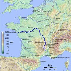
- Danube River - Europe's second longest river, flowing from Germany's Black Forest to the Black Sea
- Rhine River - major westward flowing river beginning in Switzerland and emptying into the North Sea in the Netherlands
- Volga River - longest river in Europe, traversing western Russia and draining into the Caspian Sea
In summary, Europe's diverse topography and waterways have profoundly influenced patterns of human settlement, mobility, and cultures across the continent. The physical map provides key insight into European history.
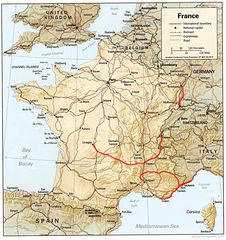
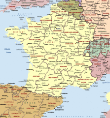
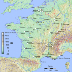
More Republic of France Static Maps
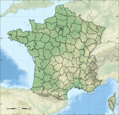
Departements of France
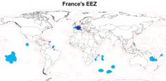
Eez France
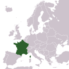
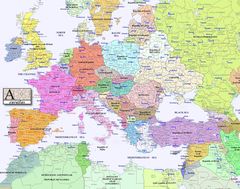
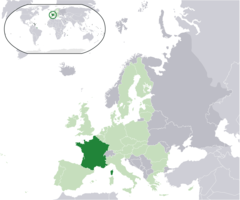
Europe Location France
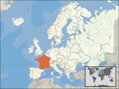
Europe Location of France
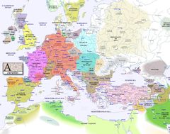
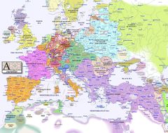
Europe Map 1000
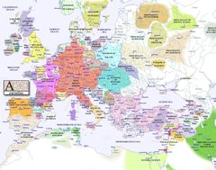
Europe Map 1100
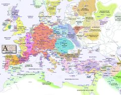
Europe Map 1200
Europe Map 1300
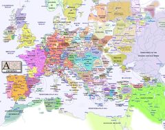
Europe Map 1400
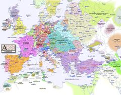
Europe Map 1500
Europe Map 1600
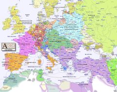
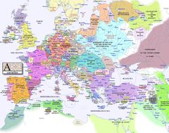
Europe Map 1700
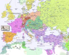
Europe Map 1800
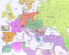
Europe Map 1900
Europe Map 2000
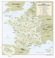
France Admin
France Cities
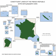
France Constituent Lands
France Map Jpg
France Political Map
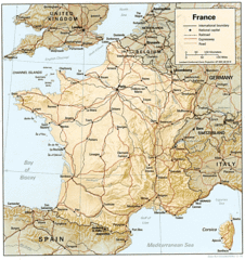
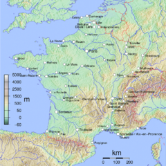
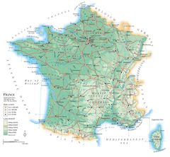
France Shaded Relief Gif
France Sites Unesco
French Network
Location France Eu Europe
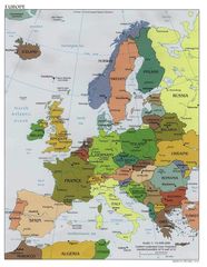
Map Europe
Map France
Map France Departments
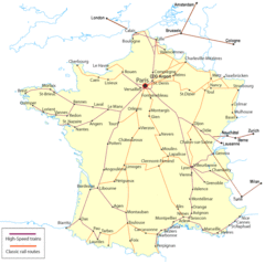
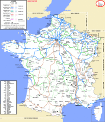
Map France Railroads
Map Francophone World Png