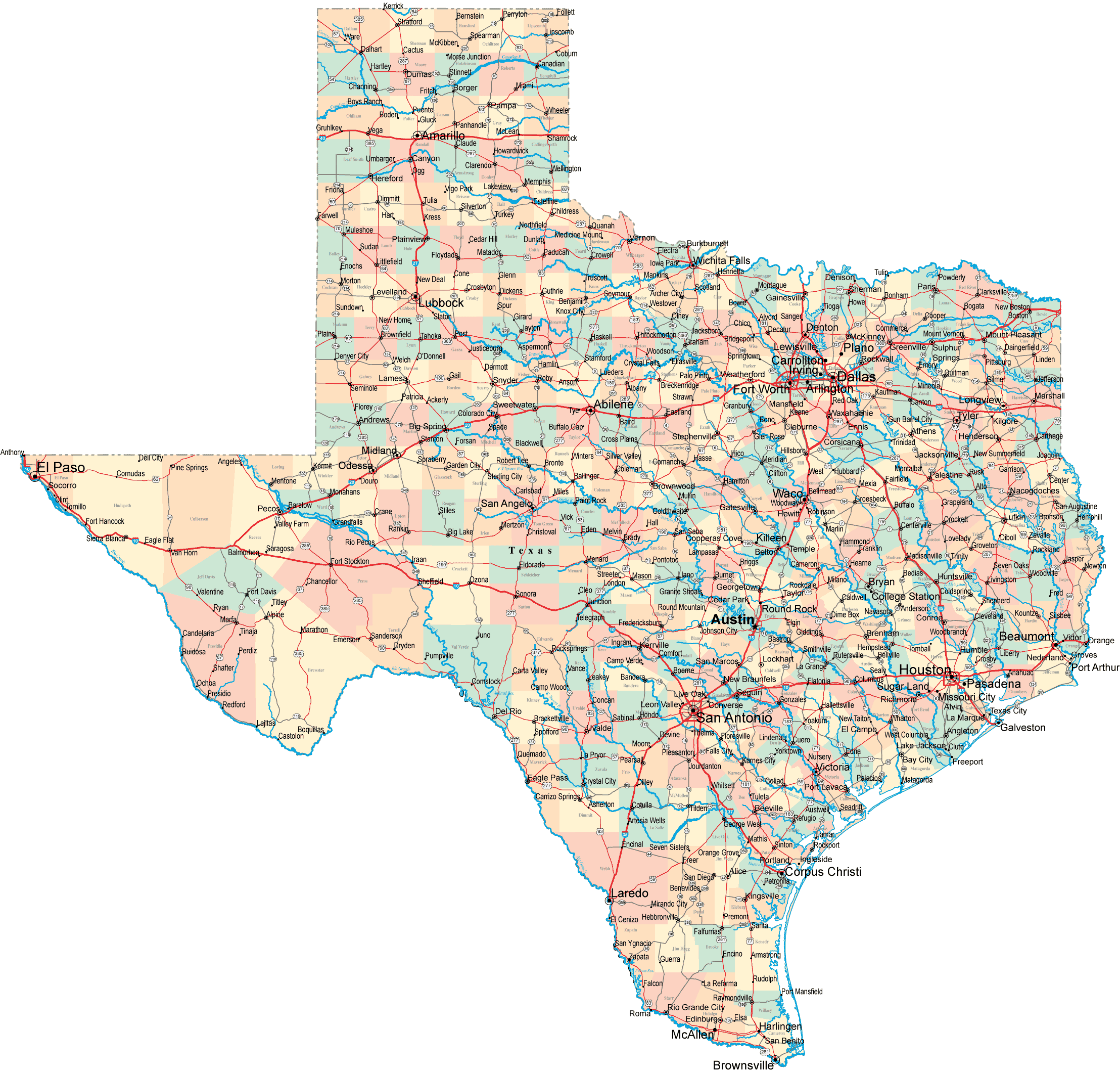
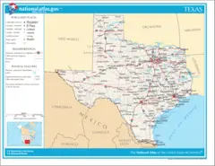
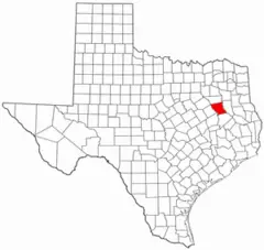
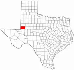
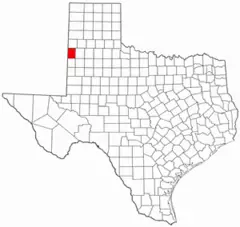
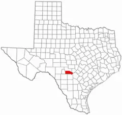
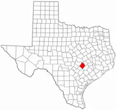
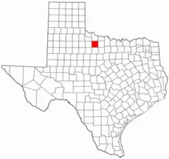
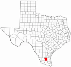
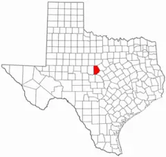
Map of Texas Cities And Counties
With its immense size, Texas encapsulates a broad diversity of cities and counties within its borders. Getting familiar with a map of the Lone Star State provides perspective on the different regions and population hubs.
Looking at Major Texas Cities
Texas is home to three of the country's 10 largest cities - Houston, San Antonio, and Dallas, which forms part of the Dallas-Fort Worth metroplex. These major urban areas anchor Texas and contain over a quarter of its population.
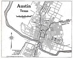
Other notable cities include Austin, the state capital and home to the University of Texas flagship campus, as well as El Paso in western Texas and Corpus Christi along the Gulf Coast.
The cities reflect the state's multicultural heritage - Hispanic influence in San Antonio, German culture in Fredericksburg, and Cajun flavors in Southeast Texas.
Reviewing the Most Populous Counties
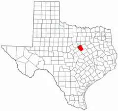
After the urban counties anchored by huge cities, suburban counties in the major metro areas also rank among Texas' most populous. These include Fort Bend, Montgomery and Collin Counties near Houston and Dallas respectively.
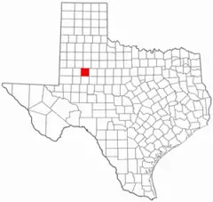
Some less urban counties still have high populations, like Lubbock County driven by the college town of Lubbock. Webb County on the border is also in the top 10 most populous.
Seeing It Visually on a Map
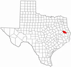
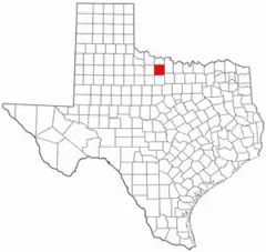
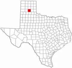
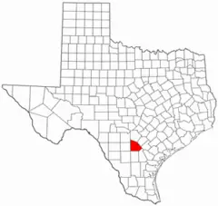
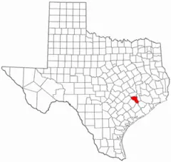
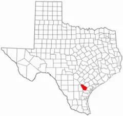
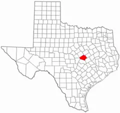
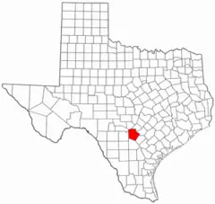
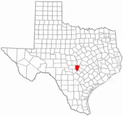
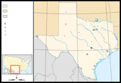
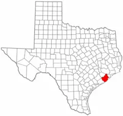
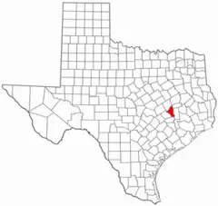
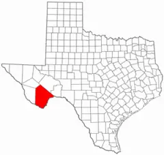
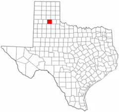
Viewing a map of Texas shines a light on how the urban centers and suburban communities cluster in certain regions, especially the Gulf Coast, DFW, Austin and San Antonio areas. More rural counties with lower density dominate West Texas and the Panhandle.
Examining a detailed map of the cities and counties provides critical context on the Lone Star State's diverse composition. The urban-suburban-rural continuum represents the range of lifestyles and economies that coexist within Texas.
