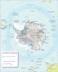
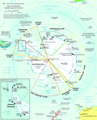
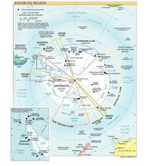
Antarctica Regions Map
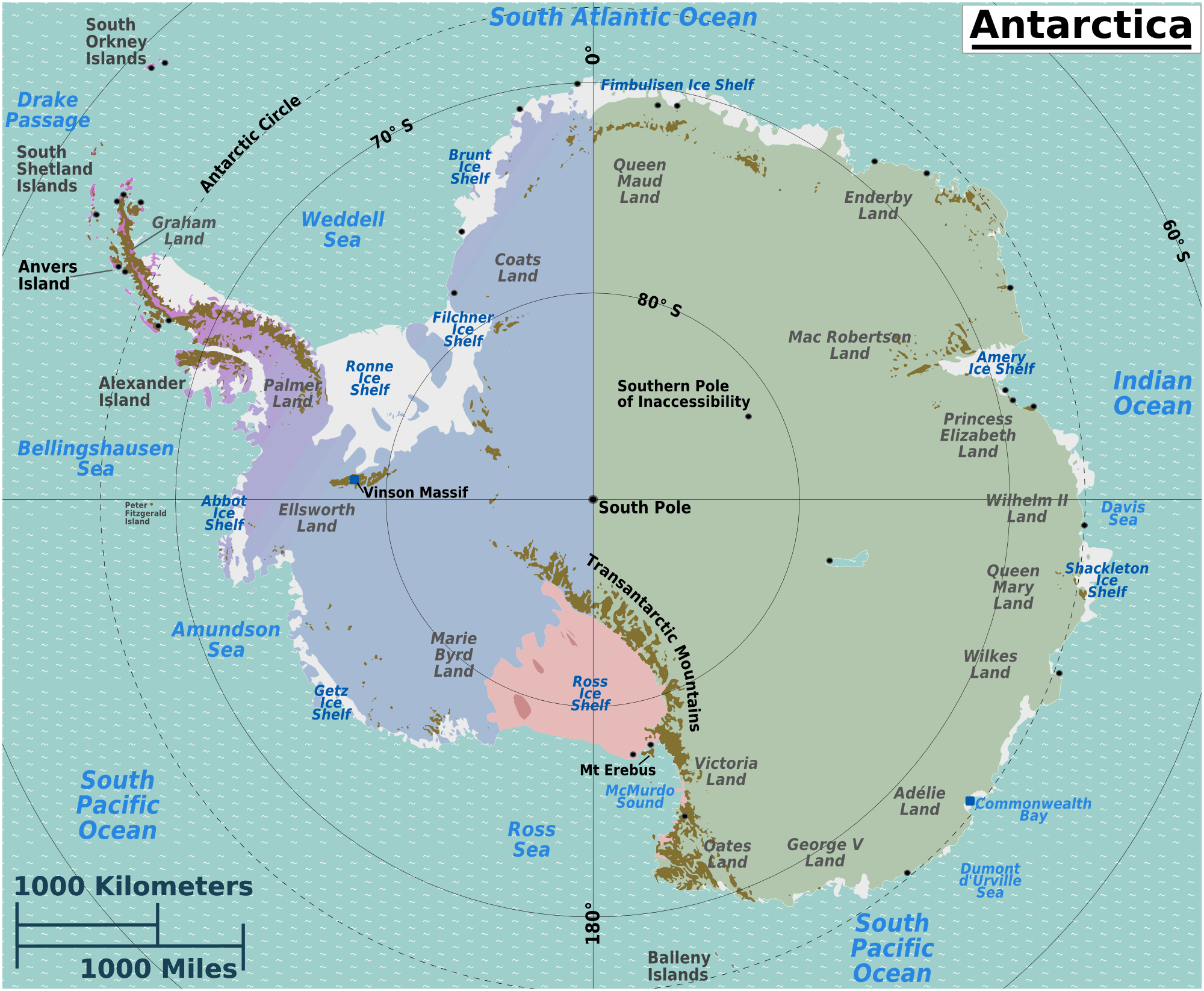
Click on the Antarctica Regions Map to view it full screen. File Type: png, File size: 245331 bytes (239.58 KB), Map Dimensions: 2000px x 1646px (256 colors)
More Antarctica Static Maps
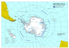
Antarctica
2311 x 1625 - 388,089k - gif
Antarctica 1
1182 x 944 - 55,972k - png
Antarctica Large Map
944 x 944 - 102,645k - jpg
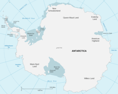
Antarctica Map
1200 x 1480 - 169,171k - jpg
Antarctica Map 1
502 x 617 - 16,903k - png
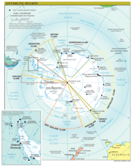
Antarctica Regions Map
2000 x 1646 - 245,331k - png
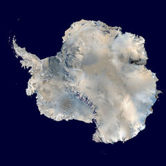
Antarctica Satellite Image Map
600 x 600 - 55,080k - jpg
Antarctic Map
600 x 738 - 186,798k - png
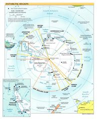
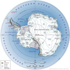
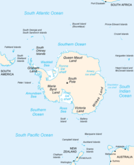
Antarctic Region
990 x 1220 - 210,964k - jpg
Map of Antarctic
2339 x 2761 - 613,431k - png
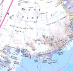
West Antarctica
788 x 766 - 287,865k - png
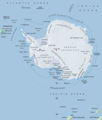
Antarctica Political Map
816 x 907 - 134,812k - jpg
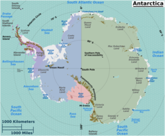
Antarctic Region Map
1034 x 1302 - 216,301k - png

Antarctica Political Map 1
816 x 907 - 134,812k - jpg