MapSof
.net
Places
Countries
States
Capital Cities
All Places
Maps
Physical Maps
Political Maps
Historical Maps
All Maps
Tools
Distance Calculator
Address Locator
Geocoder
Street View
Coordinate Finder
Distances
Countries
States
Cities
Maps
Distance Calculator
Geocoder
Distances
Home
/
Maps
/
Physical Maps
Physical Maps
Browse our collection of physical maps from around the world.
Physical
Political
Historical
Relief
Climate
Thematic
Elevation
Satellite
Road
Topo
Street
Contour
Election
Showing
12
maps
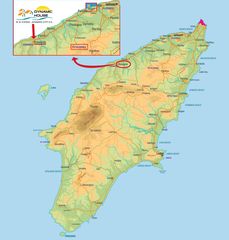
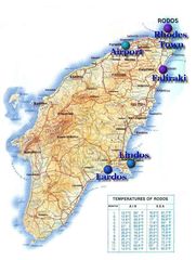
Island Rhodes Map
Rhodes
2513x2633 · 399,666k · jpg
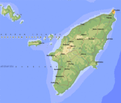
Map Rhodes
Rhodes
530x450 · 51,037k · gif
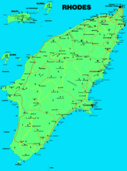
Rhodes
Rhodes
1000x1349 · 80,784k · gif
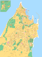
Rhodes City Map
Rhodes
1400x1888 · 321,460k · gif
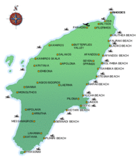
Rhodes Greece Beaches Map
Rhodes
500x600 · 31,290k · gif
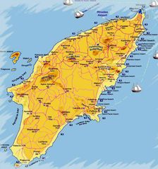
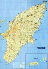
Rhodes Island Map
Rhodes
1126x1414 · 126,053k · jpg
Rhodes Map
Rhodes
928x991 · 96,166k · jpg
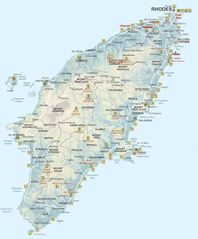
Rhodes Map Big
Rhodes
900x1088 · 117,601k · jpg
Rhodes Touristic Map
Rhodes
850x1125 · 134,554k · jpg
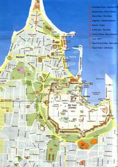
Rhodes Town Street Map
Rhodes
992x1403 · 210,409k · jpg
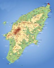
Rhodes Large
Rhodes
2500x3541 · 865,142k · jpg
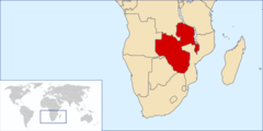
Location Federation Rhodesia And Nyasaland
Republic of Zimbabwe
920x460 · 18,062k · png