MapSof
.net
Places
Countries
States
Capital Cities
All Places
Maps
Physical Maps
Political Maps
Historical Maps
All Maps
Tools
Distance Calculator
Address Locator
Geocoder
Street View
Coordinate Finder
Distances
Countries
States
Cities
Maps
Distance Calculator
Geocoder
Distances
Home
/
Maps
/
Physical Maps
Physical Maps
Browse our collection of physical maps from around the world.
Physical
Political
Historical
Relief
Climate
Thematic
Elevation
Satellite
Road
Topo
Street
Contour
Election
Showing
10
maps
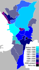
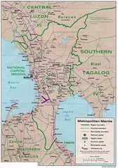
Metro Manila By Cityhood
National Capital Region
700x1260 · 17,279k · png
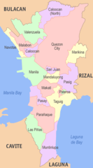
Metro Manila Map
National Capital Region
750x1350 · 227,327k · jpg
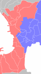
Metro Manila Political Map
National Capital Region
500x900 · 30,744k · png
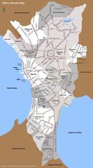
Metro Manila Water Zones
National Capital Region
700x1260 · 16,906k · png
Manila City
Manila
800x740 · 54,973k · png
Manila Map
Manila
1078x1534 · 303,845k · jpg
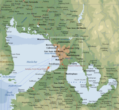
Manila Philippines
Manila
800x740 · 98,984k · png
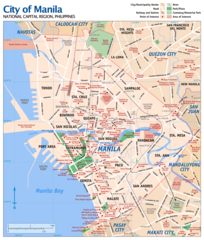
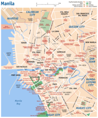
Map of Manila
Manila
1200x1409 · 287,012k · png
Manila City Map
Manila
920x1115 · 150,925k · png
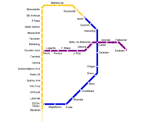
Manila Metro Map
Manila
697x528 · 5,710k · png