MapSof
.net
Places
Countries
States
Capital Cities
All Places
Maps
Physical Maps
Political Maps
Historical Maps
All Maps
Tools
Distance Calculator
Address Locator
Geocoder
Street View
Coordinate Finder
Distances
Countries
States
Cities
Maps
Distance Calculator
Geocoder
Distances
Home
/
Maps
/
Physical Maps
Physical Maps
Browse our collection of physical maps from around the world.
Physical
Political
Historical
Relief
Climate
Thematic
Elevation
Satellite
Road
Topo
Street
Contour
Election
Showing
9
maps
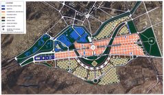
Kabulcitymap
Kābūl
1484x857 · 302,674k · jpg
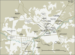
Kabul City Map
Kābūl
920x677 · 60,146k · png
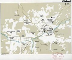
Map of Kabul, Afghanistan Cia, 1980
Kābūl
2625x2208 · 417,988k · jpg
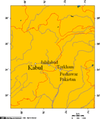
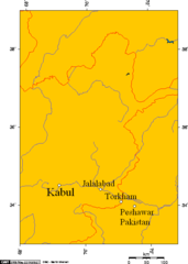
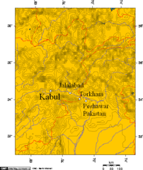
Kabul, Jalalabad, Torkham, Peshawar 3
Afghanistan
514x608 · 11,218k · png
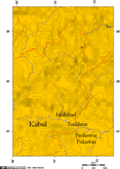
Kabul, Jalalabad, Torkham, Peshawar 4
Afghanistan
514x721 · 9,171k · png
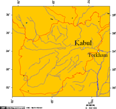
Kabul, Jalalabad, Torkham, Peshawar 5
Afghanistan
514x721 · 34,393k · png
Kabul, Jalalabad, Torkham, Peshawar 7
Afghanistan
514x482 · 9,898k · png
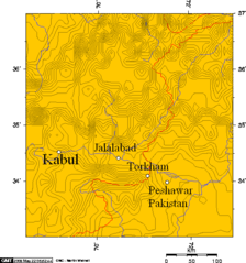
Khyber Pass, Kabul, Jalalabad, Torkham, Peshawar 1
Afghanistan
514x549 · 23,926k · png
Khyber Pass, Kabul, Jalalabad, Torkham, Peshawar 2
Afghanistan
514x608 · 34,134k · png