MapSof
.net
Places
Countries
States
Capital Cities
All Places
Maps
Physical Maps
Political Maps
Historical Maps
All Maps
Tools
Distance Calculator
Address Locator
Geocoder
Street View
Coordinate Finder
Distances
Countries
States
Cities
Maps
Distance Calculator
Geocoder
Distances
Home
/
Maps
/
Physical Maps
Physical Maps
Browse our collection of physical maps from around the world.
Physical
Political
Historical
Relief
Climate
Thematic
Elevation
Satellite
Road
Topo
Street
Contour
Election
Showing
16
maps
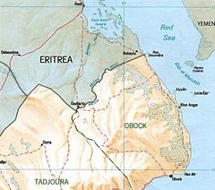
Djibouti Eritrea Border Map
Republic of Djibouti
667x589 · 63,084k · jpg
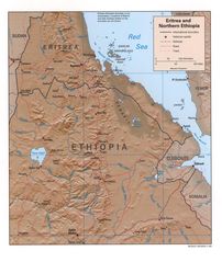
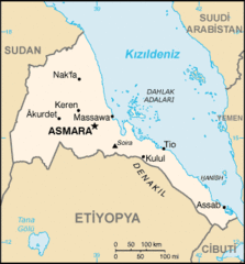
Eritrea Ethiopia Rel99
Federal Democratic Republic of Ethiopia
1070x1268 · 329,266k · jpg
000 Eritrea Harta
State of Eritrea
330x355 · 6,907k · png
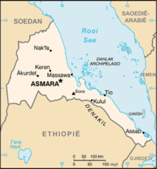
Eritrea Map
State of Eritrea
1046x1190 · 158,273k · jpg
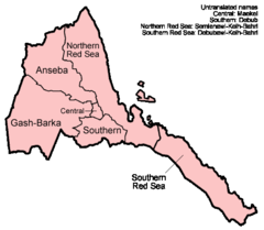
Eritrea Regions English
State of Eritrea
500x436 · 10,359k · png
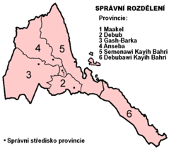
Eritrea Regions Numbered Cs
State of Eritrea
514x451 · 21,798k · png
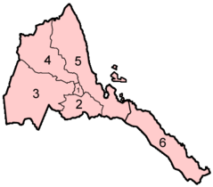
Eritrea Regions Numbered
State of Eritrea
400x351 · 6,053k · png
Eritrea Sm05 Tr
State of Eritrea
330x355 · 14,329k · gif
Eritreakaart
State of Eritrea
440x473 · 23,666k · png
Flag Map of Eritrea
State of Eritrea
920x772 · 21,201k · png
Un Eritrea
State of Eritrea
1200x892 · 193,049k · png
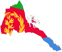
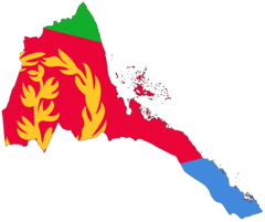
Eritrea Flag Map
State of Eritrea
2048x1719 · 85,383k · png
Eritrea Map Blank
State of Eritrea
2000x1643 · 60,583k · png
Eritrea Map Political
State of Eritrea
1184x1043 · 293,635k · jpg
Eritrea Political Map
State of Eritrea
931x766 · 73,893k · png
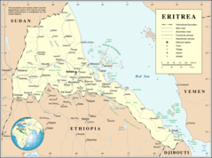
Where Is Eritrea Located
State of Eritrea
1000x1000 · 102,083k · png