MapSof
.net
Places
Countries
States
Capital Cities
All Places
Maps
Physical Maps
Political Maps
Historical Maps
All Maps
Tools
Distance Calculator
Address Locator
Geocoder
Street View
Coordinate Finder
Distances
Countries
States
Cities
Maps
Distance Calculator
Geocoder
Distances
Home
/
Maps
/
Physical Maps
Physical Maps
Browse our collection of physical maps from around the world.
Physical
Political
Historical
Relief
Climate
Thematic
Elevation
Satellite
Road
Topo
Street
Contour
Election
Showing
20
maps
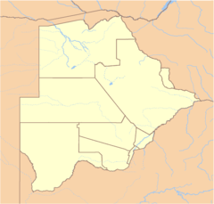
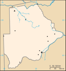
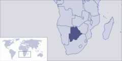
Botswana Locator
Republic of Botswana
1502x1434 · 32,316k · png
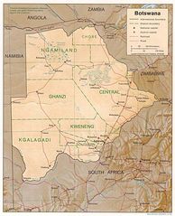
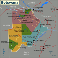
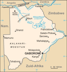
Botswana Map
Republic of Botswana
1010x1246 · 239,766k · jpg
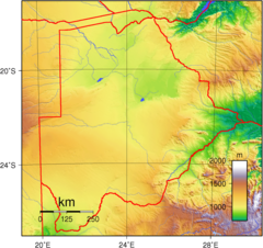
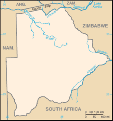
Botswana Topography
Republic of Botswana
1200x1128 · 555,654k · png
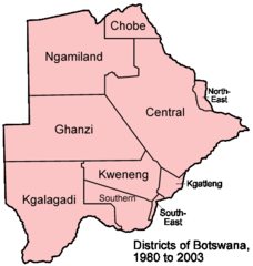
Botswana Districts 1980 2003
Republic of Botswana
500x526 · 12,134k · png
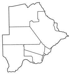
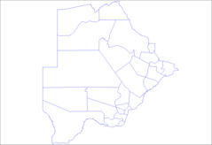
Botswana Districts Blank
Republic of Botswana
2000x2122 · 18,938k · png
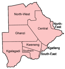
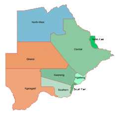
Botswana Districts Named
Republic of Botswana
500x531 · 10,944k · png
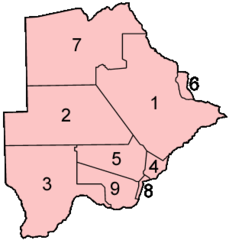
Botswana Districts Numbered
Republic of Botswana
300x314 · 5,127k · png
Botswana Map Notext
Republic of Botswana
330x354 · 6,672k · png
Botswana Map 1
Republic of Botswana
835x829 · 70,633k · png
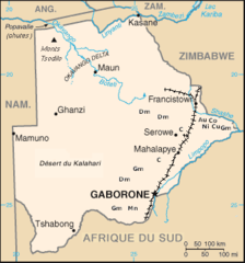
Botswana Mine
Republic of Botswana
330x354 · 12,151k · png
Botswana Sub Districts
Republic of Botswana
1281x878 · 10,357k · png
Botswana Blank
Republic of Botswana
330x354 · 8,679k · png
Botswana Geohive
Republic of Botswana
600x586 · 14,797k · gif
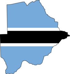
Flag Map of Botswana
Republic of Botswana
914x965 · 12,454k · png
Kaart Botswana Nl
Republic of Botswana
329x353 · 12,617k · png
Kaart Botswana
Republic of Botswana
329x353 · 12,706k · png
Svg Koort Botswana
Republic of Botswana
914x960 · 10,163k · png
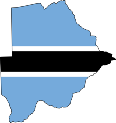
Botswana Flag Map
Republic of Botswana
2048x2163 · 47,597k · png
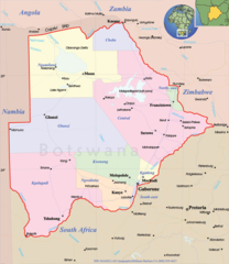
Botswana Political Map
Republic of Botswana
800x925 · 131,292k · png
Where Is Botswana Located
Republic of Botswana
1000x500 · 31,458k · png