MapSof
.net
Places
Countries
States
Capital Cities
All Places
Maps
Physical Maps
Political Maps
Historical Maps
All Maps
Tools
Distance Calculator
Address Locator
Geocoder
Street View
Coordinate Finder
Distances
Countries
States
Cities
Maps
Distance Calculator
Geocoder
Distances
Home
/
Maps
/
Physical Maps
Physical Maps
Browse our collection of physical maps from around the world.
Physical
Political
Historical
Relief
Climate
Thematic
Elevation
Satellite
Road
Topo
Street
Contour
Election
Showing
15
maps
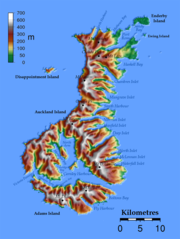
Auckland Islands Topo
New Zealand
950x1264 · 228,322k · png
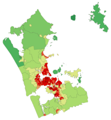
Aucklandregionpopulationdensity
New Zealand
781x848 · 33,712k · png
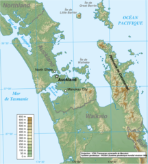
Carte Auckland Region Fr
New Zealand
908x1010 · 346,342k · png
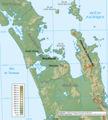
Carte Auckland Region
New Zealand
722x802 · 226,120k · png
504px Aucklandmap
Auckland
504x600 · 18,249k · png
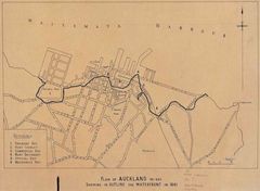
Auckland Waterfront Plan
Auckland
820x600 · 122,658k · jpg
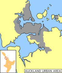
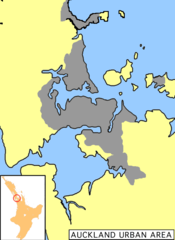
Auckland Urban Area
Auckland
589x807 · 22,449k · png
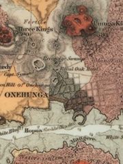
Aucklandmaphochstetter1859 Onehunga Crop
Auckland
300x400 · 97,387k · jpg
Aucklandmaphochstetter1859
Auckland
1063x1383 · 182,439k · jpg
Map of Auckland
Auckland
351x372 · 69,769k · jpg
Nsrw Auckland
Auckland
1141x556 · 291,336k · png
Nz Aucklandcity
Auckland
589x701 · 19,973k · png
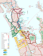
Auckland Regional Map
Auckland
1800x2355 · 579,499k · png
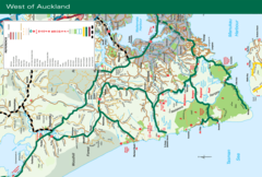
West of Auckland Map
Auckland
2222x1496 · 577,793k · png
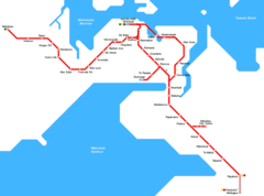
Auckland Metro Map
Auckland
1000x743 · 14,901k · png