Istanbul, Istanbul
Istanbul: Located in northwestern Turkey, straddling Europe and Asia across the Bosphorus Strait, this megacity is the country's most populous and its economic, cultural, and historic heart.
About

Quick Facts about Istanbul
| Population | 15,067,724 |
| Country | Roman Empire, Latin Empire, Byzantine Empire, Turkey, Ottoman Empire, Byzantine Empire |
| State | Istanbul (Turkey) |
| Twitter username | municipalityist, istanbulbld |
| Postal code | 34000–34990 |
| Plate code | 34 |
| Phone Area Codes | 216, 212 |
| Area | 5343 km2 |
| Official name | İstanbul |
| Continent | Asia, Europe |
| Latitude & Longitude | 41.0138,28.9497 |
| Altitude | 328 feet / 100 meters |
| Capital city | Istanbul is capital of Istanbul Province, Ottoman Empire |
| Establishment | January 01, -0666 (2692 years ago) |
| Time Zone | UTC+03:00 |
| Local time | 08:27:18 (19th July 2026) |

Istanbul2010 image
Geography
Istanbul is located at 41°0'50"N 28°56'59"E (41.0138400, 28.9496600).
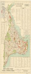
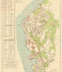
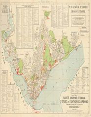
Istanbul map
Click "full screen"  icon to open full mode. View satellite images
- Almaty
- Amman (1997 )
- Amsterdam
- Amsterdam
- Athens
- Baku
- Barcelona
- Beirut
- Benghazi
- Berlin (1989 )
- Bucharest
- Budapest
- Buenos Aires
- Busan
- Cairo
- Casablanca
- Cologne (1997 )
- Constantine
- Constanța
- Damascus
- Dubai (1997 )
- Durrës
- Emirate of Dubai
- Erbil
- Florence
- Guangzhou
- Havana
- Houston
- Isfahan
- Jakarta
- Jeddah
- Johor Bahru
- Karachi
- Kazan
- Khartoum
- Lagos
- Lahore
- London
- Mary
- Mexico City
- Mogadishu
- Mülheim an der Ruhr
- Nur-Sultan
- Odessa (1997 )
- Parintins
- Plovdiv
- Prague
- Rabat
- Rio de Janeiro
- Rotterdam
- Saint Petersburg
- Samarkand
- Sarajevo
- Shanghai (1989 )
- Shimonoseki
- Skopje
- Smolyan
- Stockholm Municipality
- Strasbourg
- Sucre
- Surabaya
- Tabriz
- Tashkent
- Tbilisi
- Tirana
- Toronto
- Venice
- Vienna
- Vilnius
- Warsaw
- Xi'an
Demographics
| Year | Population | % Change | Method |
|---|---|---|---|
| 1927 | 806,863 | - | census |
| 1935 | 883,599 | 8.68% | census |
| 1940 | 991,237 | 10.86% | census |
| 1945 | 1,078,399 | 8.08% | census |
| 1950 | 1,166,477 | 7.55% | census |
| 1955 | 1,533,822 | 23.95% | census |
| 1960 | 1,882,092 | 18.5% | |
| 1965 | 2,293,823 | 17.95% | census |
| 1970 | 3,019,032 | 24.02% | census |
| 1975 | 3,904,588 | 22.68% | census |
| 1980 | 4,741,890 | 17.66% | census |
| 1985 | 5,842,985 | 18.84% | census |
| 1990 | 7,309,190 | 20.06% | census |
| 2000 | 10,018,735 | 27.04% | census |
| 2007 | 12,573,836 | 20.32% | census |
| 2008 | 12,697,164 | 0.97% | census |
| 2009 | 12,915,158 | 1.69% | census |
| 2010 | 13,255,685 | 2.57% | census |
| 2011 | 13,624,240 | 2.71% | census |
| 2012 | 13,854,740 | 1.66% | census |
| 2013 | 14,160,467 | 2.16% | census |
| 2014 | 14,377,018 | 1.51% | Address Based Population Registration System |
| 2018 | 15,067,724 | 4.58% | Address Based Population Registration System |
Map of countries with a smaller population than Istanbul
Bizanc, Bizánc, Byzance, Byzantion, Byzantium, Byzanz, Constantinoble, Constantinopla, Constantinople, Constantinopolen, Constantinopoli, Constantinopolis, Costantinopoli, Estambul, IST, Istamboul, Istambul, Istambuł, Istampoul, Istanbúl, Isztambul, Konstantinapoly, Konstantinopel, Konstantinopolo, Konstantinoupoli, Konstantinoupolis, Konstantinápoly, Kustantiniyah, Micklagard, Micklagård, Mikligardur, Mikligarður, Stamboul, Stambul, Stambula, Stambuł, Tsarigrad, Vizantija (Vizantija), Vyzantio, astnbwl, bijantium, byuzantion, byzntywn, iseutanbul, istambula, isutanburu, stin Poli [stimˈboli], yi si tan bu er, İstanbul, Βυζάντιο, Βυζαντιο, Ισταμπουλ, Ισταμπούλ, Κωνσταντινουπολη, Κωνσταντινούπολη, Κωνσταντινούπολις, στην Πόλι [stimˈboli], Византија (Vizantija), Истанбул, Стамбул, ביזנטיון, اسطنبول, इस्तांबुल, ইস্তাম্বুল, イスタンブール, ビュザンティオン, 伊斯坦布尔, 비잔티움, 이스탄불
Map & Images (more maps)
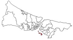
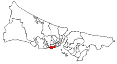
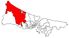
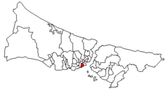
Adalar Istanbul Highlight
810 x 450
- 5,990k -
png
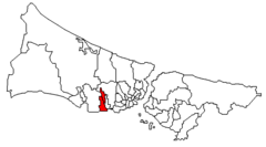
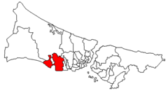
Avcilar Istanbul Highlight
810 x 450
- 6,020k -
png
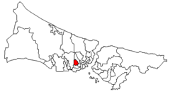
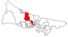
Bagcilar Istanbul Highlight
810 x 450
- 6,008k -
png
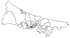
Bahcelievler Istanbul Highlight
810 x 450
- 5,994k -
png
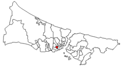
Bakirkoy Istanbul Highlight
810 x 450
- 6,020k -
png

Bayrampasa Istanbul Highlight
810 x 450
- 5,996k -
png
Besiktas Istanbul Highlight
810 x 450
- 5,999k -
png
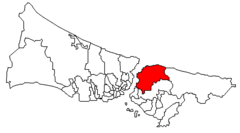
Beykoz Istanbul Highlight
810 x 450
- 6,025k -
png

Beyoglu Istanbul Highlight
810 x 450
- 5,993k -
png
Buyukcekmece Istanbul Highlight
810 x 450
- 6,063k -
png
Catalca Istanbul Highlight
810 x 450
- 6,064k -
png
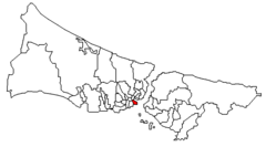
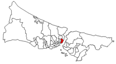
Eminonu Istanbul Highlight
810 x 450
- 5,991k -
png
Esenler Istanbul Highlight
810 x 450
- 6,010k -
png
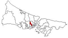
Eyup Istanbul Highlight
810 x 450
- 6,029k -
png
Fatih Istanbul Highlight
810 x 450
- 5,996k -
png
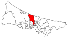
Gaziosmanpasa Istanbul Highlight
810 x 450
- 6,035k -
png
Gungoren Istanbul Highlight
810 x 450
- 5,994k -
png
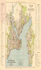
Istanbul Pu889
1600 x 2690
- 421,202k -
jpg
Istanbul Pu945
1800 x 4252
- 976,332k -
jpg
Istanbul Pu946
1800 x 2099
- 361,461k -
jpg
Istanbul Pu971
1900 x 2457
- 424,372k -
jpg