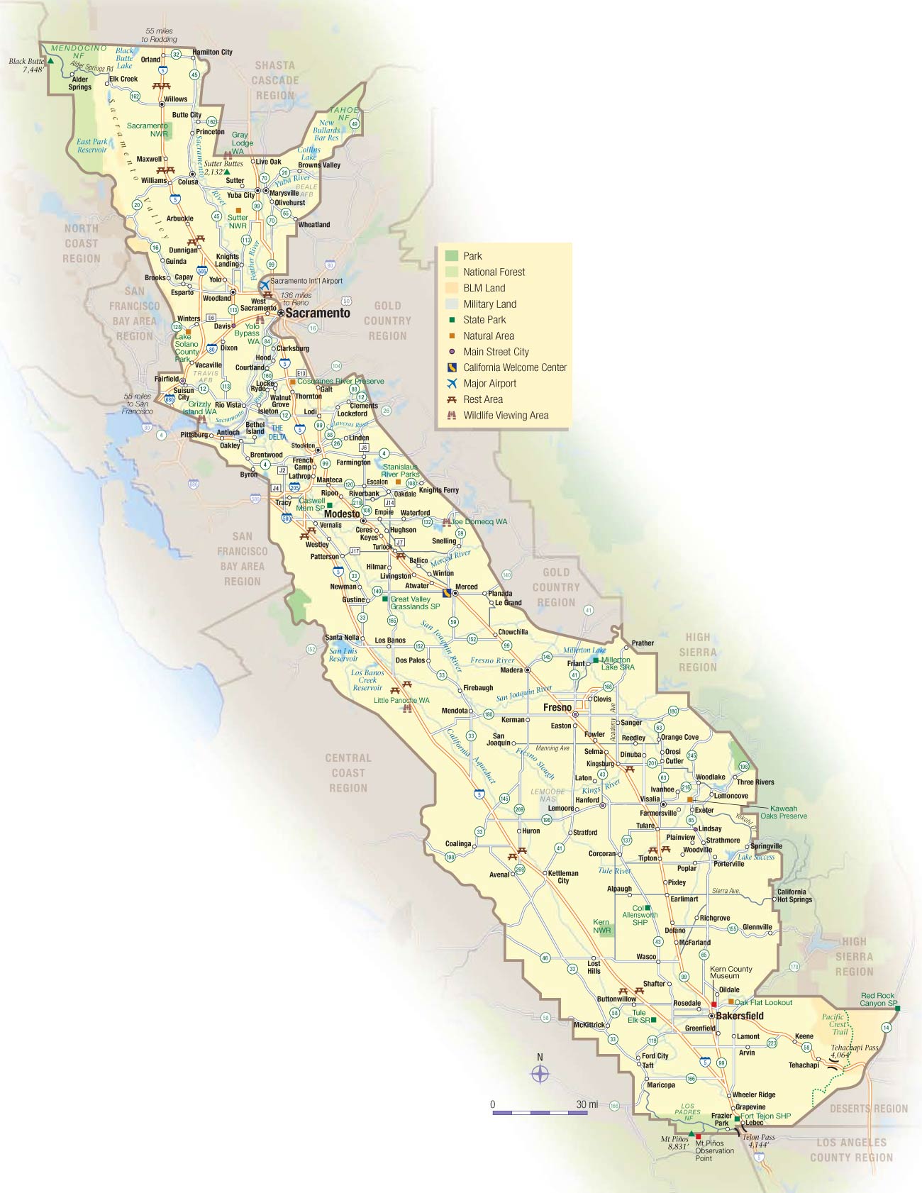
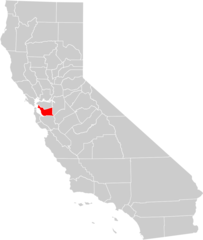
California Central Valley Map
The Central Valley is a vast agricultural region stretching down central California.
Sacramento and San Joaquin Valleys
It contains the flat, fertile Sacramento Valley in the north and the San Joaquin Valley in the south.
Sacramento and San Joaquin Rivers
The valleys are drained by the Sacramento River flowing south and the San Joaquin River flowing north to the Delta.
Agriculture
The region produces huge crops of fruits, vegetables, and nuts. California provides over 1/3 of U.S. vegetable production.
Cities
Prominent Central Valley cities include Sacramento, Fresno, Bakersfield, and Stockton. Rural farms and small towns dot the lengthy interior.
Wine Regions
There are growing wine regions like Lodi and the Sierra Foothills with Mediterranean climates perfect for vineyards.
The hot, flat Central Valley makes California an agricultural powerhouse, earning it the nickname "The Nation's Salad Bowl."
More California Static Maps
Alaska Airlines Flight 261 Path
Amtrak California Simplified Map
Area Codes Ca
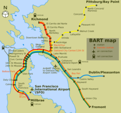
Bart Map
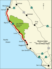
Bigsurmap
Blueca
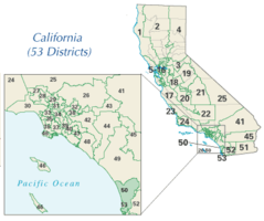
Ca District 50 Location
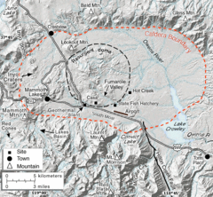
Calderarelief Large
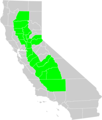
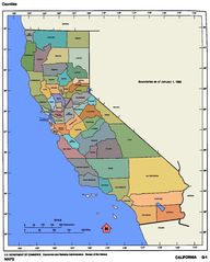
California Central Valley County Map

California Centralvalley County Map
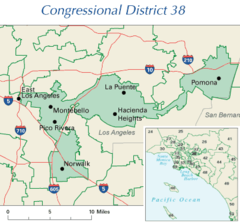
California District 38 2004
California Locator Map With Us
California Locator Map
California Map Showing San Francisco County
California Map
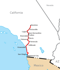
California Southern Railroad Route Map
California Counties 300
California Counties Map1
California County Map (alameda County Highlighted)
California County Map (alpine County Highlighted)
California County Map (amador County Highlighted)
California County Map (butte County Highlighted)
California County Map (calaveras County Highlighted)
California County Map (colusa County Highlighted)
California County Map (contra Costa County Highlighted)
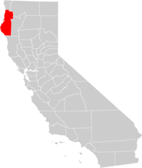
California County Map (del Norte County Highlighted)
California County Map (el Dorado County Highlighted)
California County Map (fresno County Highlighted)
California County Map (glenn County Highlighted)