Bihar State of (State of Bihār), Bihar
Bihar State of:
About
Quick Facts about State of Bihār
| State : | Bihar (India) |
| Time Zone : | Asia/Kolkata |
| Local time : | 14:07:37 (26th April 2024) |
Geography
State of Bihār is located at 25°45'0"N 85°45'0"E (25.7500000, 85.7500000).
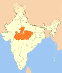
Bihar State of map
Click "full screen"  icon to open full mode. View satellite images
The largest city of State of Bihār is Bhāgalpur with a population of 361,548. Other cities include, Muzaffarpur population 333,200, Saharsa population 145,764, Hājīpur population 133,606 and Siwān population 119,181. See all State of Bihār cities & populated places.
BR, Biar, Bichar, Bihar, Bihara, Biharas, Biharo, Bihár, Bihār, Bihāra, Bikhar, Bíhar, bhar, bi ha er bang, bihaleu ju, bihar, bihara, bihararajyam, bihari, biharu, biharu zhou, byhr, pikar, rath phihar, Μπιχάρ, Бихар, Биҳар, Біхар, ביהר, بهار, بہار, ބިހާރު, बिहार, बिहारराज्यम्, বিহার, ਬਿਹਾਰ, બિહાર, ବିହାର, பீகார், బీహార్, ಬಿಹಾರ, ബിഹാർ, รัฐพิหาร, སྦི་ཧཱར།, ბიჰარი, ビハール州, 比哈尔邦, 비하르 주
Map & Images (more maps)
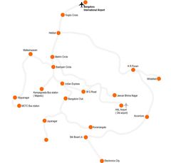
Cities Map of Bihar
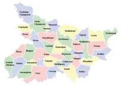
Detailed Map of Bihar
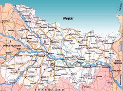
Historical Map of Tamil Nadu
Location Map of Bhopal
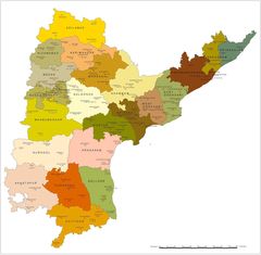
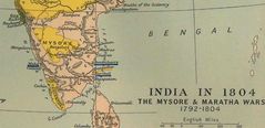
Political Map of Andhra Pradesh
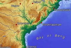
Topographic Map of Andhra Pradesh