Australia Map
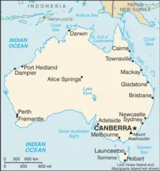
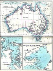
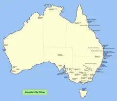
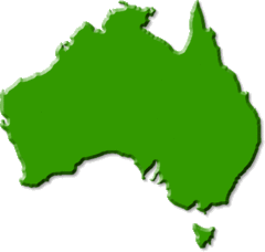
The island country of Australia is the smallest continent on Earth. Learning about the Australia map provides insight into the geography and landscape of this unique nation.
States and Territories
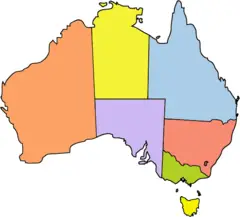
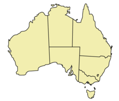
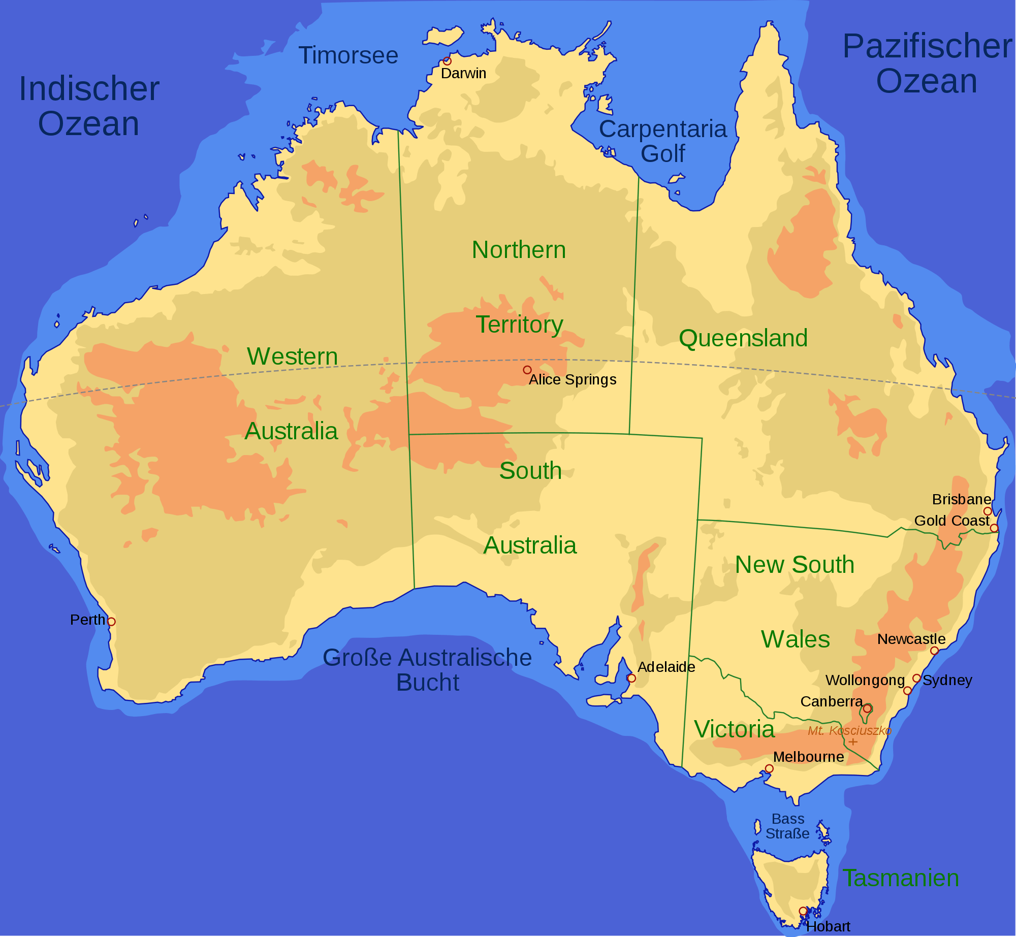
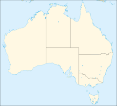
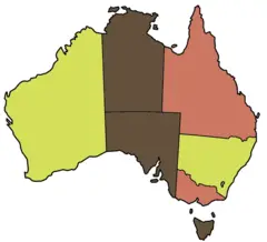
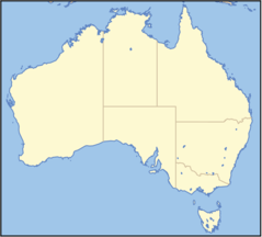
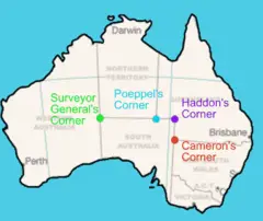
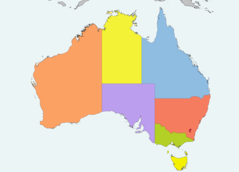
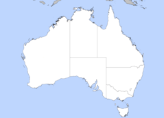
Australia is divided into six states and two major mainland territories:
- New South Wales - Most populous state with the capital Sydney.
- Victoria - State containing the cultural hub of Melbourne.
- Queensland - Large northeastern state home to the Great Barrier Reef.
- Western Australia - Spans the western third of the continent.
- South Australia - Central state with arid outback terrain.
- Tasmania - Island state south of the mainland.
- Northern Territory - Sparsely populated northern territory.
- Australian Capital Territory - Contains the capital city of Canberra.
Physical Geography
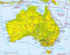
The main geographical features of Australia include:
- The Great Dividing Range mountains along the eastern coast.
- Expansive arid deserts like the Simpson and Great Victoria Desert.
- The tropical Great Barrier Reef offshore Queensland.
- The unique wildlife of the Australian Outback.
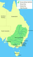
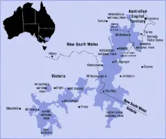
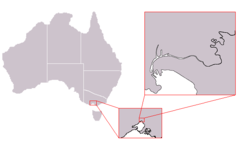
- The Murray River system in the southeast.
- The monolithic rock formation Uluru (Ayers Rock)
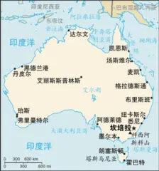
In summary, becoming familiar with the Australia map provides critical insight into the diversity of landscapes and political divisions across this vast island continent. The states, territories, major cities, and geographical features each contribute to its unique identity.
.jpg)
.png)
.png)
