MapSof.net
Places
Countries
States
Capital Cities
Cities
Static Maps
Physical
Political
Topo
Relief
Historical
Satellite
Road
Street
Climate
Map Tools
Distance Calculator
Address Locator
Street View
Geocoder Tool
Coordinates
Search
Europe
Andorra
Principality of Andorra
Maps
Maps
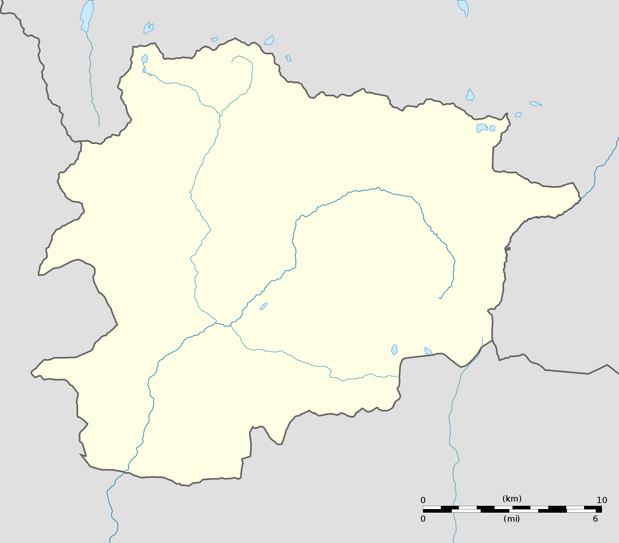
Andorra Location Map