Topographic Map of the Uk
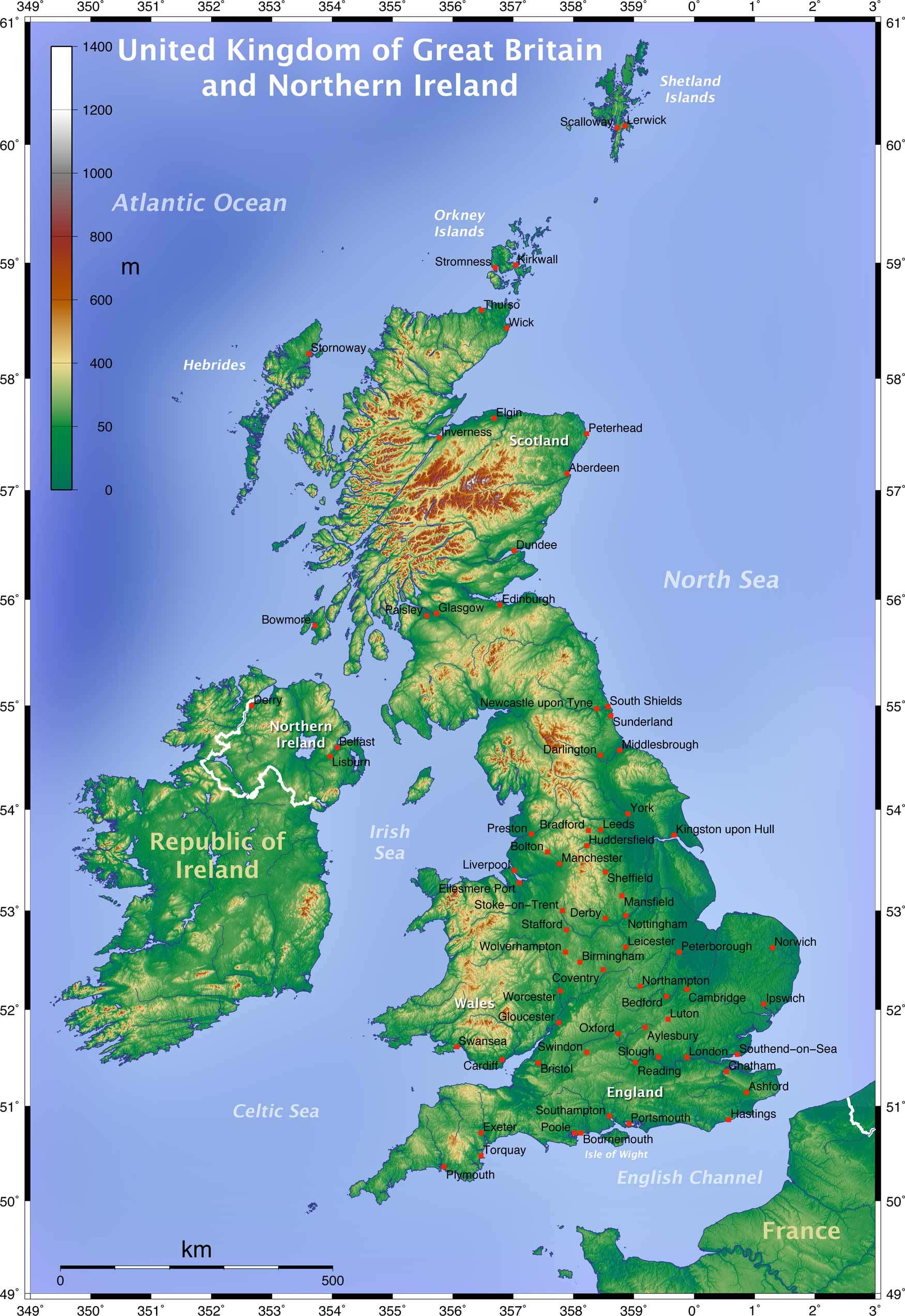
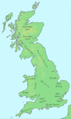
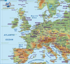
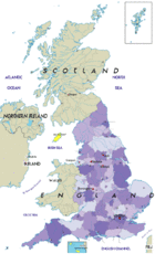
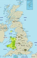
A topographic map uses contour lines to depict the natural and manmade terrain of a place. Examining a topographic map of the UK provides insight into its diverse physical geography.
England
- England has a wide range of topography despite its relatively small land area.
- The Pennines are a chain of hills running up England's north central region.
- The Lake District in northwest England contains England's highest peak, Scafell Pike.
- The countryside is gently rolling in southern areas like the Cotswolds.
Scotland
- The Scottish Highlands in northern Scotland are mountainous and rugged.
- Major features include Ben Nevis, the highest peak in the UK, and Loch Ness.
- The Central Lowlands comprise a flat plain between Edinburgh and Glasgow.
Wales
- Wales is dominated by uplands but also has coastal plains and valleys.
- The Cambrian Mountains run through central Wales.
- Snowdonia National Park in northwest Wales contains Mt. Snowdon, the highest Welsh peak.
Northern Ireland
-
The terrain includes hills and low mountains as well as loughs (lakes).
- The Mourne Mountains in eastern Northern Ireland contain challenging hiking routes.
In summary, a UK topographic map reflects this island nation's compact yet extraordinarily diverse landscape.
