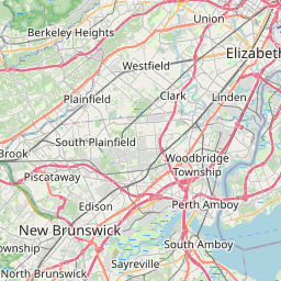
How far is Westwood, NJ from Union City, NJ?
Distance by Flight
Shortest distance between Westwood and Union City is 14.63 miles (23.55 km).
Flight distance from Westwood, NJ to Union City, NJ is 14.63 miles. Estimated flight time is 00 hours 02 minutes.

Driving distance
The driving distance from Westwood, New Jersey to Union City, New Jersey is: 22.63 miles (36.42 km) by car.
Driving from Westwood to Union City will take approximately 00 hours 36 minutes.

#1 Westwood
Borough in Bergen County, New Jersey, United States
| Population | 11023 |
|---|---|
| GPS Coordinates | 40°59'28"N 74°1'58"W |
| Latitude | 40.9912100 |
| Longitude | -74.0326400 |
| Altitude | 22 |
| Country | United States |

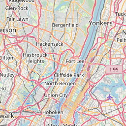
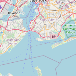
#2 Union City
The most populous city in Hudson County, New Jersey. It is located on the Hudson River in northeastern New Jersey. Union City is known for its many parks and green spaces, its many historical sites, and its many attractions, such as the Statue of Liberty and the Ellis Island Immigration Museum.
| Population | 67982 |
|---|---|
| GPS Coordinates | 40°46'46"N 74°1'26"W |
| Latitude | 40.7795500 |
| Longitude | -74.0237500 |
| Altitude | 53 |
| Country | United States |
Ending point in Union City: 45th Street (-74.023765,40.779533)
Estimated Travel Time Between Westwood and Union City
The distance between Westwood and Union City is 36 km if you choose to drive by road. You can go 00 hours 24 minutes if you drive your car at an average speed of 90 kilometers / hour. For different choices, please review the avg. speed travel time table on the below.
There is no time difference between Westwood and Union City. The current time is 21:22:31.
| Average Speed | Travel Time |
|---|---|
| 30 mph (48.3 km/h) | 00 hours 45 minutes |
| 40 mph (64.37 km/h) | 00 hours 33 minutes |
| 50 mph (80.47 km/h) | 00 hours 27 minutes |
| 60 mph (96.56 km/h) | 00 hours 22 minutes |
| 70 mph (112.65 km/h) | 00 hours 19 minutes |
| 75 mph (120.7 km/h) | 00 hours 18 minutes |
| 80 mph (128.75 km/h) | 00 hours 16 minutes |
Gas Consumption
A car with a fuel efficiency of 8.3 l/100 km will need 3.02 liters (0.8 gallon) of gas to cover the route between Westwood and Union City.
The estimated cost of gas to go from Westwood to Union City is $2.73 (diesel $3.59).
New Jersey gas prices.
| Gasoline | Mid Grade | Premium | Diesel | |
|---|---|---|---|---|
| Gallon | $3.42 | $4.04 | $4.31 | $4.49 |
| Total | $2.73 | $3.23 | $3.44 | $3.59 |
Take a look at our Gas Cost Calculator feature. It will figure out how much it will cost to drive this particular distance.
The average gas price (in New Jersey ) per gallon of daily gas for calculations is $3.423 (Diesel $4.492) /gallon. Last changed prices on July 19, 2025.
How did we calculate the distance?
The place names are translated into coordinates to approximate the distance between Westwood and Union City (latitude and longitude). Cities, states, and countries each have their own regional center. The Haversine formula is used to measure the radius.
Distance to Other Cities
Driving distance from Camden, NJ to Westwood 113.53 miles (183 km)

Driving distance from South Vineland, NJ to Westwood 142.61 miles (230 km)


Driving distance from Elizabethport, NJ to Westwood 33.43 miles (54 km)