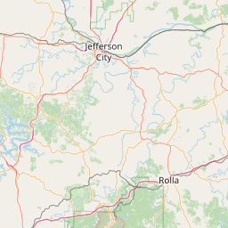
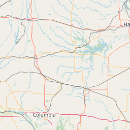
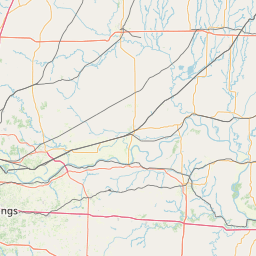
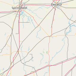
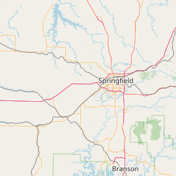
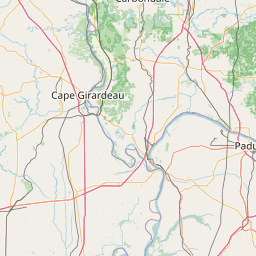
How far is Steelville, MO from Columbia, MO?
Distance by Flight
Shortest distance between Steelville and Columbia is 86.17 miles (138.68 km).
Flight distance from Steelville, MO to Columbia, MO is 86.17 miles. Estimated flight time is 00 hours 13 minutes.
It takes 00 hours 12 minutes to travel from Steelville to Columbia with an airplane (average speed of 550 miles).

Driving distance
The driving distance from Steelville, Missouri to Columbia, Missouri is: 111.92 miles (180.12 km) by car.
Driving from Steelville to Columbia will take approximately 02 hours 05 minutes.

#1 Steelville
City in Crawford County, Missouri, United States
| Population | 1636 |
|---|---|
| GPS Coordinates | 37°58'5"N 91°21'18"W |
| Latitude | 37.9681000 |
| Longitude | -91.3548700 |
| Altitude | 228 |
| Country | United States |

#2 Columbia
The most populous city in the state of Missouri. It is located on the Missouri River in central Missouri. Columbia is known for its many colleges and universities, its many parks and green spaces, and its many attractions, such as the University of Missouri and the Missouri State Historical Society.
| Population | 124769 |
|---|---|
| GPS Coordinates | 38°57'6"N 92°20'3"W |
| Latitude | 38.9517100 |
| Longitude | -92.3340700 |
| Altitude | 215 |
| Country | United States |
Ending point in Columbia: North Providence Road (-92.33414,38.951711)
Estimated Travel Time Between Steelville and Columbia
The distance between Steelville and Columbia is 180 km if you choose to drive by road. You can go 02 hours 00 minutes if you drive your car at an average speed of 90 kilometers / hour. For different choices, please review the avg. speed travel time table on the below.
There is no time difference between Steelville and Columbia. The current time is 17:29:57.
| Average Speed | Travel Time |
|---|---|
| 30 mph (48.3 km/h) | 03 hours 43 minutes |
| 40 mph (64.37 km/h) | 02 hours 47 minutes |
| 50 mph (80.47 km/h) | 02 hours 14 minutes |
| 60 mph (96.56 km/h) | 01 hours 51 minutes |
| 70 mph (112.65 km/h) | 01 hours 35 minutes |
| 75 mph (120.7 km/h) | 01 hours 29 minutes |
| 80 mph (128.75 km/h) | 01 hours 23 minutes |
Gas Consumption
A car with a fuel efficiency of 8.3 l/100 km will need 14.95 liters (3.95 gallon) of gas to cover the route between Steelville and Columbia.
The estimated cost of gas to go from Steelville to Columbia is $12.66 (diesel $17.48).
Missouri gas prices.
| Gasoline | Mid Grade | Premium | Diesel | |
|---|---|---|---|---|
| Gallon | $3.21 | $3.54 | $3.86 | $4.43 |
| Total | $12.66 | $13.96 | $15.24 | $17.48 |
Take a look at our Gas Cost Calculator feature. It will figure out how much it will cost to drive this particular distance.
The average gas price (in Missouri ) per gallon of daily gas for calculations is $3.205 (Diesel $4.426) /gallon. Last changed prices on August 19, 2025.
How did we calculate the distance?
The place names are translated into coordinates to approximate the distance between Steelville and Columbia (latitude and longitude). Cities, states, and countries each have their own regional center. The Haversine formula is used to measure the radius.
Distance to Other Cities
Driving distance from New York, MO to Steelville 252.48 miles (406 km)
Driving distance from Castle Point, MO to Steelville 102.67 miles (165 km)
Driving distance from East Independence, MO to Steelville 229.29 miles (369 km)


