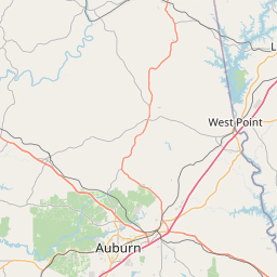
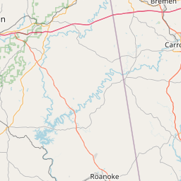
How far is Roanoke, AL from Auburn, AL?
Fastest route
Here are some tips and suggestions for your journey from Roanoke, Alabama, to Auburn, Alabama, covering a distance of approximately 44.9 miles (72.3 kilometers) via US-431 S. The estimated travel time is about 56 minutes. Please follow the directions below for the fastest route, considering traffic conditions.
Directions
- Head east on Main St toward Vaughn St. (🚶)
- Turn right onto US-431 S and continue for approximately 31.0 miles. (➡️)
- Turn right onto AL-147 S and drive for about 7.9 miles. (➡️)
- Turn left onto US-280 E and continue for 0.4 miles. (➡️)
- Follow N College St to your destination in Auburn, covering about 4.9 miles. (➡️)
Tips & Suggestions
- 🚶 Tip: Start your journey early to avoid rush hour traffic.
- ➡️ Tip: Stay on US-431 S for the majority of your trip, as it is the fastest route.
- ➡️ Tip: Keep an eye on your fuel level and consider refueling before hitting the road.
- ➡️ Tip: Use navigation apps to monitor real-time traffic conditions and find the fastest route.
- ➡️ Tip: Take breaks during the journey to rest and stay refreshed.
- ➡️ Tip: Check the weather forecast for both Roanoke and Auburn, and prepare accordingly.
- ➡️ Tip: Familiarize yourself with the destination's parking options to plan ahead.
Distance by Flight
Shortest distance between Roanoke and Auburn is 37.93 miles (61.05 km).
Flight distance from Roanoke, AL to Auburn, AL is 37.93 miles. Estimated flight time is 00 hours 05 minutes.


Driving distance
The driving distance from Roanoke, Alabama to Auburn, Alabama is: 44.9 miles (72.26 km) by car.
Driving from Roanoke to Auburn will take approximately 00 hours 58 minutes.

#1 Roanoke
City in Randolph County, Alabama, United States
| Population | 5940 |
|---|---|
| GPS Coordinates | 33°9'4"N 85°22'20"W |
| Latitude | 33.1512300 |
| Longitude | -85.3721700 |
| Altitude | 258 |
| Country | United States |

#2 Auburn
The most populous city in Lee County, Alabama. It is located on the Chattahoochee River in eastern Alabama. Auburn is known for its many parks and green spaces, its many historical sites, and its many attractions, such as the Auburn University campus and the Toomer's Corner tradition.
| Population | 68343 |
|---|---|
| GPS Coordinates | 32°36'35"N 85°28'51"W |
| Latitude | 32.6098600 |
| Longitude | -85.4807800 |
| Altitude | 215 |
| Country | United States |
Ending point in Auburn: (-85.480913,32.609482)
Estimated Travel Time Between Roanoke and Auburn
The distance between Roanoke and Auburn is 72 km if you choose to drive by road. You can go 00 hours 48 minutes if you drive your car at an average speed of 90 kilometers / hour. For different choices, please review the avg. speed travel time table on the below.
There is no time difference between Roanoke and Auburn. The current time is 17:12:52.
| Average Speed | Travel Time |
|---|---|
| 30 mph (48.3 km/h) | 01 hours 29 minutes |
| 40 mph (64.37 km/h) | 01 hours 07 minutes |
| 50 mph (80.47 km/h) | 00 hours 53 minutes |
| 60 mph (96.56 km/h) | 00 hours 44 minutes |
| 70 mph (112.65 km/h) | 00 hours 38 minutes |
| 75 mph (120.7 km/h) | 00 hours 35 minutes |
| 80 mph (128.75 km/h) | 00 hours 33 minutes |
Gas Consumption
A car with a fuel efficiency of 8.3 l/100 km will need 6 liters (1.58 gallon) of gas to cover the route between Roanoke and Auburn.
The estimated cost of gas to go from Roanoke to Auburn is $4.88 (diesel $6.6).
Alabama gas prices.
| Gasoline | Mid Grade | Premium | Diesel | |
|---|---|---|---|---|
| Gallon | $3.08 | $3.48 | $3.86 | $4.17 |
| Total | $4.88 | $5.52 | $6.11 | $6.6 |
Take a look at our Gas Cost Calculator feature. It will figure out how much it will cost to drive this particular distance.
The average gas price (in Alabama ) per gallon of daily gas for calculations is $3.079 (Diesel $4.167) /gallon. Last changed prices on July 23, 2025.
How did we calculate the distance?
The place names are translated into coordinates to approximate the distance between Roanoke and Auburn (latitude and longitude). Cities, states, and countries each have their own regional center. The Haversine formula is used to measure the radius.


