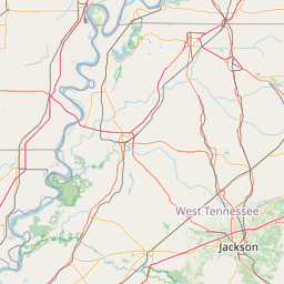
How far is McKenzie, TN from New South Memphis, TN?
Distance by Flight
Shortest distance between McKenzie and New South Memphis is 112.63 miles (181.26 km).
Flight distance from McKenzie, TN to New South Memphis, TN is 112.63 miles. Estimated flight time is 00 hours 15 minutes.
It takes 00 hours 14 minutes to travel from McKenzie to New South Memphis with an airplane (average speed of 550 miles).


Driving distance
The driving distance from McKenzie, Tennessee to New South Memphis, Tennessee is: 132.08 miles (212.57 km) by car.
Driving from McKenzie to New South Memphis will take approximately 02 hours 11 minutes.

#1 McKenzie
Human settlement in Tennessee, United States of America
| Population | 5303 |
|---|---|
| GPS Coordinates | 36°7'57"N 88°31'7"W |
| Latitude | 36.1325600 |
| Longitude | -88.5186600 |
| Altitude | 150 |
| Country | United States |
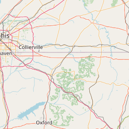
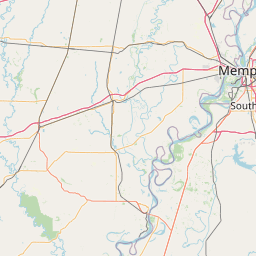
#2 New South Memphis
A neighborhood located in Memphis, Tennessee. It is known for its history and its culture.
| Population | 641608 |
|---|---|
| GPS Coordinates | 35°5'12"N 90°3'24"W |
| Latitude | 35.0867600 |
| Longitude | -90.0567600 |
| Altitude | 79 |
| Country | United States |
Ending point in New South Memphis: South Third Street (-90.05674,35.086758)
Estimated Travel Time Between McKenzie and New South Memphis
The distance between McKenzie and New South Memphis is 213 km if you choose to drive by road. You can go 02 hours 21 minutes if you drive your car at an average speed of 90 kilometers / hour. For different choices, please review the avg. speed travel time table on the below.
There is no time difference between McKenzie and New South Memphis. The current time is 07:10:02.
| Average Speed | Travel Time |
|---|---|
| 30 mph (48.3 km/h) | 04 hours 24 minutes |
| 40 mph (64.37 km/h) | 03 hours 18 minutes |
| 50 mph (80.47 km/h) | 02 hours 38 minutes |
| 60 mph (96.56 km/h) | 02 hours 12 minutes |
| 70 mph (112.65 km/h) | 01 hours 53 minutes |
| 75 mph (120.7 km/h) | 01 hours 45 minutes |
| 80 mph (128.75 km/h) | 01 hours 38 minutes |
Gas Consumption
A car with a fuel efficiency of 8.3 l/100 km will need 17.64 liters (4.66 gallon) of gas to cover the route between McKenzie and New South Memphis.
The estimated cost of gas to go from McKenzie to New South Memphis is $14.63 (diesel $19.5).
Tennessee gas prices.
| Gasoline | Mid Grade | Premium | Diesel | |
|---|---|---|---|---|
| Gallon | $3.14 | $3.56 | $3.93 | $4.18 |
| Total | $14.63 | $16.58 | $18.33 | $19.5 |
Take a look at our Gas Cost Calculator feature. It will figure out how much it will cost to drive this particular distance.
The average gas price (in Tennessee ) per gallon of daily gas for calculations is $3.140 (Diesel $4.183) /gallon. Last changed prices on July 30, 2025.
How did we calculate the distance?
The place names are translated into coordinates to approximate the distance between McKenzie and New South Memphis (latitude and longitude). Cities, states, and countries each have their own regional center. The Haversine formula is used to measure the radius.
Distance to Other Cities


Driving distance from East Chattanooga, TN to McKenzie 258.76 miles (416 km)


Driving distance from Johnson, TN to McKenzie 289.96 miles (467 km)

