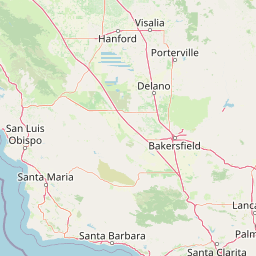
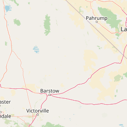
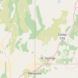
How far is Cold Springs, NV from Mesquite, NV?
Distance by Flight
Shortest distance between Cold Springs and Mesquite is 377.08 miles (606.85 km).
Flight distance from Cold Springs, NV to Mesquite, NV is 377.08 miles. Estimated flight time is 01 hours 04 minutes.
It takes 00 hours 57 minutes to travel from Cold Springs to Mesquite with an airplane (average speed of 550 miles).


Driving distance
The driving distance from Cold Springs, Nevada to Mesquite, Nevada is: 531.45 miles (855.29 km) by car.
Driving from Cold Springs to Mesquite will take approximately 08 hours 29 minutes.

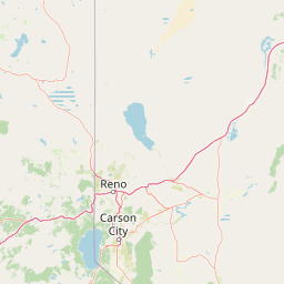
#1 Cold Springs
City in Nevada, United States of America
| Population | 8544 |
|---|---|
| GPS Coordinates | 39°40'49"N 119°58'36"W |
| Latitude | 39.6801900 |
| Longitude | -119.9765900 |
| Altitude | 1542 |
| Country | United States |

#2 Mesquite
City in Nevada
| Population | 20438 |
|---|---|
| GPS Coordinates | 36°48'20"N 114°4'2"W |
| Latitude | 36.8055300 |
| Longitude | -114.0671900 |
| Altitude | 488 |
| Country | United States |
Ending point in Mesquite: East 1st North Street (-114.067189,36.805353)
Estimated Travel Time Between Cold Springs and Mesquite
The distance between Cold Springs and Mesquite is 855 km if you choose to drive by road. You can go 09 hours 30 minutes if you drive your car at an average speed of 90 kilometers / hour. For different choices, please review the avg. speed travel time table on the below.
There is no time difference between Cold Springs and Mesquite. The current time is 20:44:05.
| Average Speed | Travel Time |
|---|---|
| 30 mph (48.3 km/h) | 17 hours 42 minutes |
| 40 mph (64.37 km/h) | 13 hours 17 minutes |
| 50 mph (80.47 km/h) | 10 hours 37 minutes |
| 60 mph (96.56 km/h) | 08 hours 51 minutes |
| 70 mph (112.65 km/h) | 07 hours 35 minutes |
| 75 mph (120.7 km/h) | 07 hours 05 minutes |
| 80 mph (128.75 km/h) | 06 hours 37 minutes |
Gas Consumption
A car with a fuel efficiency of 8.3 l/100 km will need 70.99 liters (18.75 gallon) of gas to cover the route between Cold Springs and Mesquite.
The estimated cost of gas to go from Cold Springs to Mesquite is $86.98 (diesel $94.25).
Nevada gas prices.
| Gasoline | Mid Grade | Premium | Diesel | |
|---|---|---|---|---|
| Gallon | $4.64 | $4.92 | $5.14 | $5.03 |
| Total | $86.98 | $92.25 | $96.43 | $94.25 |
Take a look at our Gas Cost Calculator feature. It will figure out how much it will cost to drive this particular distance.
The average gas price (in Nevada ) per gallon of daily gas for calculations is $4.638 (Diesel $5.026) /gallon. Last changed prices on July 11, 2025.
How did we calculate the distance?
The place names are translated into coordinates to approximate the distance between Cold Springs and Mesquite (latitude and longitude). Cities, states, and countries each have their own regional center. The Haversine formula is used to measure the radius.


