How far is City of Lowell, MA from Worcester, MA?
Distance by Flight
Shortest distance between City of Lowell and Worcester is 35.72 miles (57.49 km).
Flight distance from City of Lowell, MA to Worcester, MA is 35.72 miles. Estimated flight time is 00 hours 04 minutes.

Driving distance
The driving distance from City of Lowell, Massachusetts to Worcester, Massachusetts is: 41.33 miles (66.51 km) by car.
Driving from City of Lowell to Worcester will take approximately 00 hours 44 minutes.

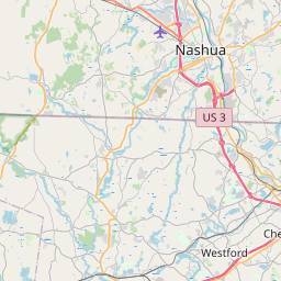
#1 City of Lowell
The third most populous city in Massachusetts. It is located on the Merrimack River in northeastern Massachusetts. Lowell is known for its many textile mills, its many parks and green spaces, and its many attractions, such as the Lowell National Historical Park and the Lowell National Historical Park Visitor Center.
| Population | 109945 |
|---|---|
| GPS Coordinates | 42°38'20"N 71°19'18"W |
| Latitude | 42.6388700 |
| Longitude | -71.3217100 |
| Altitude | 33 |
| Country | United States |

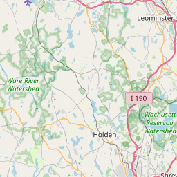
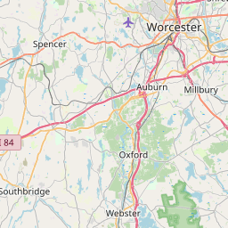
#2 Worcester
The second most populous city in Massachusetts. It is located in the central part of the state. Worcester is known for its many colleges and universities, its many parks and green spaces, and its many attractions, such as the Worcester Art Museum and the Higgins Armory Museum.
| Population | 184570 |
|---|---|
| GPS Coordinates | 42°15'45"N 71°48'8"W |
| Latitude | 42.2625900 |
| Longitude | -71.8022900 |
| Altitude | 147 |
| Country | United States |
Ending point in Worcester: Main Street (-71.802507,42.262637)
Estimated Travel Time Between City of Lowell and Worcester
The distance between City of Lowell and Worcester is 67 km if you choose to drive by road. You can go 00 hours 44 minutes if you drive your car at an average speed of 90 kilometers / hour. For different choices, please review the avg. speed travel time table on the below.
There is no time difference between City of Lowell and Worcester. The current time is 20:03:09.
| Average Speed | Travel Time |
|---|---|
| 30 mph (48.3 km/h) | 01 hours 22 minutes |
| 40 mph (64.37 km/h) | 01 hours 01 minutes |
| 50 mph (80.47 km/h) | 00 hours 49 minutes |
| 60 mph (96.56 km/h) | 00 hours 41 minutes |
| 70 mph (112.65 km/h) | 00 hours 35 minutes |
| 75 mph (120.7 km/h) | 00 hours 33 minutes |
| 80 mph (128.75 km/h) | 00 hours 30 minutes |
Gas Consumption
A car with a fuel efficiency of 8.3 l/100 km will need 5.52 liters (1.46 gallon) of gas to cover the route between City of Lowell and Worcester.
The estimated cost of gas to go from City of Lowell to Worcester is $5.24 (diesel $6.54).
Massachusetts gas prices.
| Gasoline | Mid Grade | Premium | Diesel | |
|---|---|---|---|---|
| Gallon | $3.59 | $4.16 | $4.5 | $4.49 |
| Total | $5.24 | $6.06 | $6.56 | $6.54 |
Take a look at our Gas Cost Calculator feature. It will figure out how much it will cost to drive this particular distance.
The average gas price (in Massachusetts ) per gallon of daily gas for calculations is $3.591 (Diesel $4.488) /gallon. Last changed prices on August 13, 2025.
How did we calculate the distance?
The place names are translated into coordinates to approximate the distance between City of Lowell and Worcester (latitude and longitude). Cities, states, and countries each have their own regional center. The Haversine formula is used to measure the radius.


