How far is Cedar Grove, FL from Cape Coral, FL?
Distance by Flight
Shortest distance between Cedar Grove and Cape Coral is 334.75 miles (538.72 km).
Flight distance from Cedar Grove, FL to Cape Coral, FL is 334.75 miles. Estimated flight time is 00 hours 56 minutes.
It takes 00 hours 51 minutes to travel from Cedar Grove to Cape Coral with an airplane (average speed of 550 miles).


Driving distance
The driving distance from Cedar Grove, Florida to Cape Coral, Florida is: 471.96 miles (759.55 km) by car.
Driving from Cedar Grove to Cape Coral will take approximately 08 hours 06 minutes.
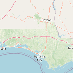
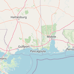
#1 Cedar Grove
| Population | |
|---|---|
| GPS Coordinates | 30°10'16"N 85°37'31"W |
| Latitude | 30.1710300 |
| Longitude | -85.6252000 |
| Altitude | 10 |
| Country | United States |

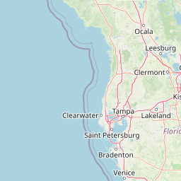
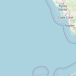
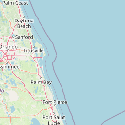
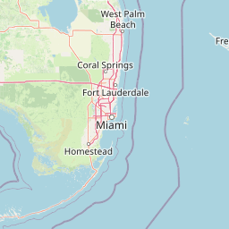
#2 Cape Coral
The second most populous city in Lee County, Florida. It is located on the Gulf Coast of Florida. Cape Coral is known for its many canals, its many beaches, and its many attractions, such as the Cape Coral Historical Society and the Cape Coral Farmers Market.
| Population | 200972 |
|---|---|
| GPS Coordinates | 26°33'46"N 81°56'58"W |
| Latitude | 26.5628500 |
| Longitude | -81.9495300 |
| Altitude | 1 |
| Country | United States |
Ending point in Cape Coral: (-81.94953,26.562855)
Estimated Travel Time Between Cedar Grove and Cape Coral
The distance between Cedar Grove and Cape Coral is 760 km if you choose to drive by road. You can go 08 hours 26 minutes if you drive your car at an average speed of 90 kilometers / hour. For different choices, please review the avg. speed travel time table on the below.
Please keep in mind that there is a 1 hour time gap between Cedar Grove, FL and Cape Coral, FL. The current time in Cedar Grove is 11:53:15, although it is 12:53:15 in Cape Coral.
| Average Speed | Travel Time |
|---|---|
| 30 mph (48.3 km/h) | 15 hours 43 minutes |
| 40 mph (64.37 km/h) | 11 hours 47 minutes |
| 50 mph (80.47 km/h) | 09 hours 26 minutes |
| 60 mph (96.56 km/h) | 07 hours 51 minutes |
| 70 mph (112.65 km/h) | 06 hours 44 minutes |
| 75 mph (120.7 km/h) | 06 hours 17 minutes |
| 80 mph (128.75 km/h) | 05 hours 53 minutes |
Gas Consumption
A car with a fuel efficiency of 8.3 l/100 km will need 63.04 liters (16.65 gallon) of gas to cover the route between Cedar Grove and Cape Coral.
The estimated cost of gas to go from Cedar Grove to Cape Coral is $55.36 (diesel $72.45).
Florida gas prices.
| Gasoline | Mid Grade | Premium | Diesel | |
|---|---|---|---|---|
| Gallon | $3.32 | $3.74 | $4.07 | $4.35 |
| Total | $55.36 | $62.32 | $67.72 | $72.45 |
Take a look at our Gas Cost Calculator feature. It will figure out how much it will cost to drive this particular distance.
The average gas price (in Florida ) per gallon of daily gas for calculations is $3.324 (Diesel $4.350) /gallon. Last changed prices on August 01, 2025.
How did we calculate the distance?
The place names are translated into coordinates to approximate the distance between Cedar Grove and Cape Coral (latitude and longitude). Cities, states, and countries each have their own regional center. The Haversine formula is used to measure the radius.


