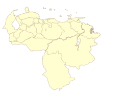
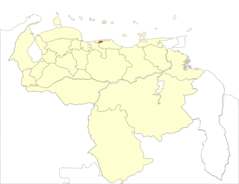
Venezuela Vargas State Location
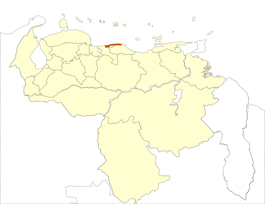
Click on the Venezuela Vargas State Location to view it full screen. File Type: png, File size: 25450 bytes (24.85 KB), Map Dimensions: 920px x 707px (256 colors)
More Bolivarian Republic of Venezuela Static Maps
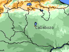
Calabozo Venezuela
240 x 180 - 7,379k - png
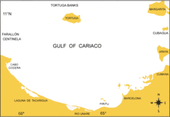
Cariacobasin
681 x 469 - 12,356k - png
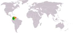
Colombia Venezuela Locator
1325 x 601 - 16,392k - png
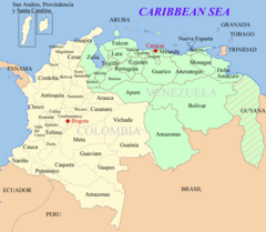
Colombia Venezuela Map
1200 x 1046 - 172,243k - png
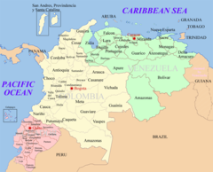
Ecuador Colombia Venezuela Map
1200 x 970 - 166,239k - png
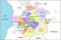
Estado Trujillo Venezuela
920 x 617 - 34,745k - png
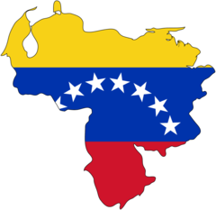
Flag Map of Venezuela
920 x 895 - 16,544k - png
Italiansinvenezuela
778 x 599 - 33,055k - jpg
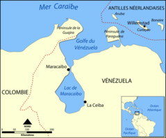
Lake Maracaibo Map Fr
920 x 770 - 31,594k - png
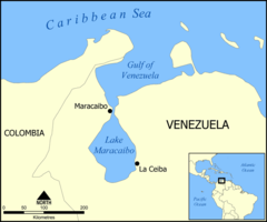
Lake Maracaibo Map
800 x 668 - 27,314k - png
Map of Venezuela Demis
1031 x 970 - 169,135k - png
Mapa Politico Venezuela
2160 x 1664 - 43,764k - png
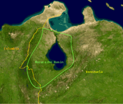
Maracaibo Basin
652 x 555 - 99,146k - png
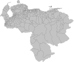
Municipios Venezuela 2007
920 x 778 - 50,450k - png
Referendum Municipio Venezuela 2007
920 x 778 - 42,904k - png
Regioncentral
2160 x 1664 - 44,742k - png
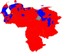
Resultados Venezuela Referendo 2007
2160 x 1664 - 52,185k - png
Southerncaribbeanislands
846 x 431 - 50,356k - png
Tdv Vargas
526 x 196 - 7,154k - jpg
Ve Map
329 x 353 - 11,582k - png
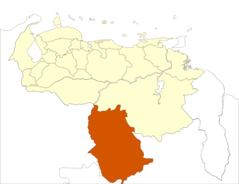
Venezuela Amazonas State Location
920 x 707 - 25,147k - png
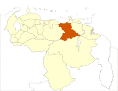
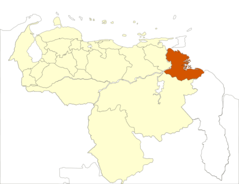
Venezuela Anzoategui State Location
920 x 707 - 25,399k - png
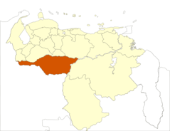
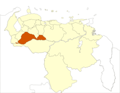
Venezuela Apure State Location
920 x 707 - 24,978k - png
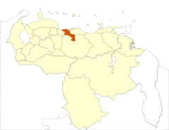
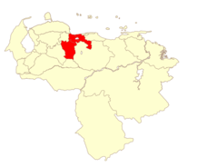
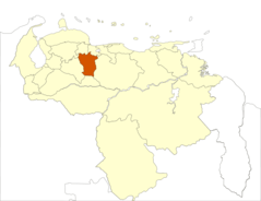
Venezuela Aragua State Location
920 x 707 - 25,495k - png
Venezuela Barinas State Location
920 x 707 - 25,339k - png
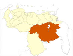
Venezuela Bolivar State Location
920 x 707 - 24,794k - png
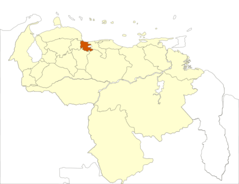
Venezuela Capital Location
920 x 707 - 25,476k - png
Venezuela Carabobo State Location
920 x 707 - 25,501k - png
Venezuela Cojedes State Location
920 x 707 - 25,534k - png
Venezuela Delta Amacuro State Location
920 x 707 - 24,825k - png