States of United States Highway Map
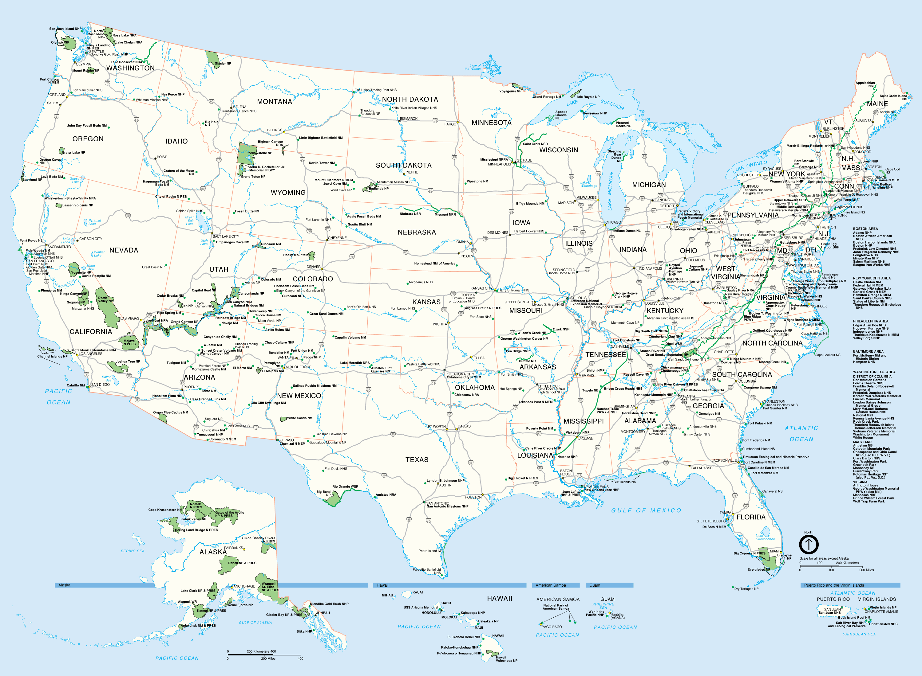
Click on the States of United States Highway Map to view it full screen. File Type: png, File size: 679944 bytes (664.01 KB), Map Dimensions: 2999px x 2201px (256 colors)
More United States Static Maps
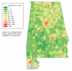
Alabama Population Map
592 x 590 - 25,603k - png
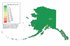
Alaska Population Map
700 x 460 - 15,302k - png
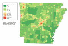
Arkansas Population Map
800 x 550 - 29,369k - png
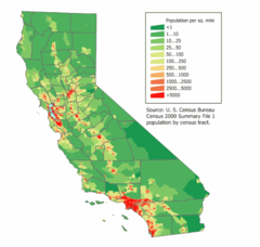
California Population Map
600 x 570 - 24,313k - png
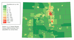
Colorado Population Map
700 x 380 - 16,537k - png
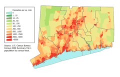
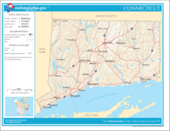
Connecticut Population Map
700 x 450 - 20,415k - png
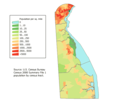
Delaware Population Map
600 x 500 - 13,060k - png
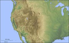
Der Westen Der Vereinigten Staaten
1400 x 875 - 114,481k - jpg
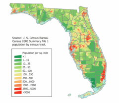
Florida Population Map
520 x 450 - 21,200k - png
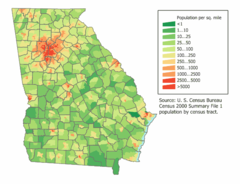
Georgia Population Map
600 x 460 - 25,450k - png
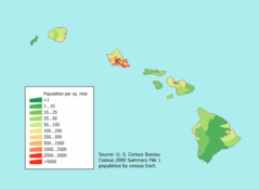
Hawaii Population Map
660 x 480 - 8,940k - png
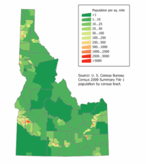
Idaho Population Map
500 x 560 - 14,171k - png
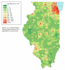
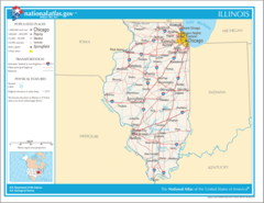
Illinois Population Map
592 x 640 - 21,801k - png
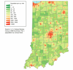
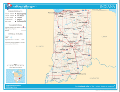
Indiana Population Map
600 x 580 - 21,347k - png
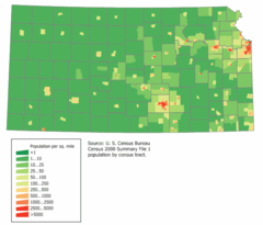
Kansas Population Map
664 x 568 - 14,513k - png
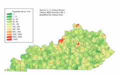
Kentucky Population Map
740 x 470 - 26,593k - png
Location Uf Us
1519 x 754 - 97,698k - gif

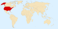
Location Usa
1427 x 628 - 16,989k - png
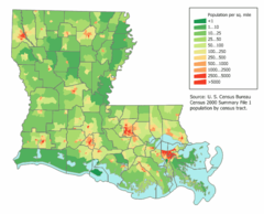
Louisiana Population Map
680 x 550 - 29,375k - png
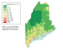
Maine Population Map
600 x 480 - 17,036k - png
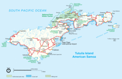
Mapoftutuila American Samoa
3033 x 1968 - 328,405k - gif
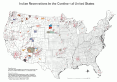
Map Indian Reservations Usa
3124 x 2200 - 379,767k - png
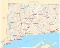
Map of Connecticut Na
1200 x 927 - 312,699k - png
Map of Connecticut Na Cropp
1200 x 973 - 281,530k - png
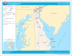
Map of Delaware Na
1200 x 927 - 93,692k - png
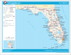
Map of Florida Na
1200 x 927 - 123,328k - png
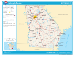
Map of Georgia Na
1200 x 927 - 294,341k - png
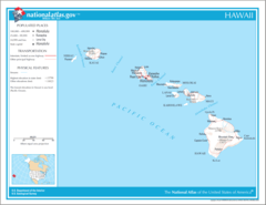
Map of Hawaii Na
1200 x 927 - 53,277k - png
Map of Illinois Na
1200 x 927 - 142,473k - png
Map of Indiana Na
1200 x 927 - 155,062k - png