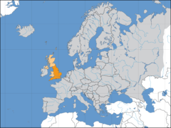
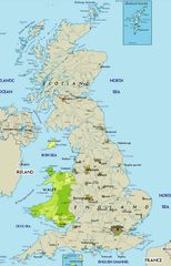
Topographic Map of the Uk
A topographic map uses contour lines to depict the natural and manmade terrain of a place. Examining a topographic map of the UK provides insight into its diverse physical geography.
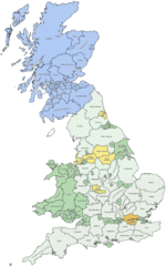
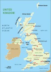
England
- England has a wide range of topography despite its relatively small land area.
- The Pennines are a chain of hills running up England's north central region.
- The Lake District in northwest England contains England's highest peak, Scafell Pike.
- The countryside is gently rolling in southern areas like the Cotswolds.
Scotland
- The Scottish Highlands in northern Scotland are mountainous and rugged.
- Major features include Ben Nevis, the highest peak in the UK, and Loch Ness.
- The Central Lowlands comprise a flat plain between Edinburgh and Glasgow.
Wales
- Wales is dominated by uplands but also has coastal plains and valleys.
- The Cambrian Mountains run through central Wales.
- Snowdonia National Park in northwest Wales contains Mt. Snowdon, the highest Welsh peak.
Northern Ireland
-
The terrain includes hills and low mountains as well as loughs (lakes).
- The Mourne Mountains in eastern Northern Ireland contain challenging hiking routes.
In summary, a UK topographic map reflects this island nation's compact yet extraordinarily diverse landscape.
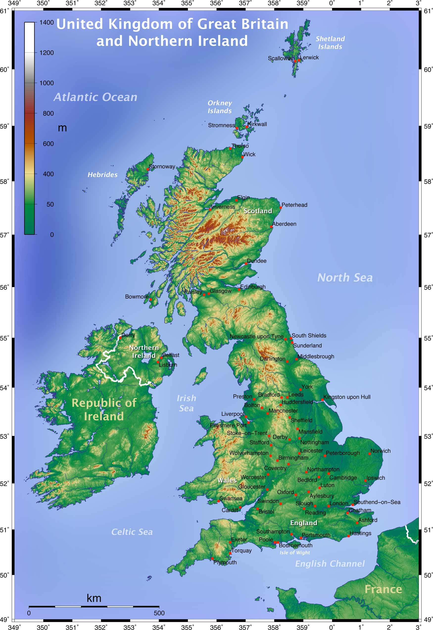
Click on the Topographic Map of the Uk to view it full screen. File Type: jpg, File size: 421418 bytes (411.54 KB), Map Dimensions: 1750px x 2545px (16777216 colors)
More United Kingdom of Great Britain and Northern Ireland Static Maps
Britain 802
1241 x 1755 - 383,411k - png
Britain 886
1241 x 1755 - 397,563k - png
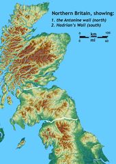
Britain Northern Walls
1484 x 2093 - 371,581k - jpg
Britania 10dc
463 x 578 - 28,761k - png
British Isles Isle of Man Svg
343 x 600 - 13,975k - png
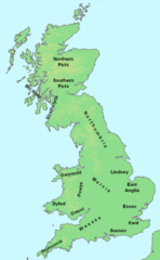
British Kingdoms C 800
718 x 1164 - 306,926k - gif
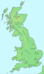
British Seventh Century Kingdoms
526 x 880 - 169,492k - gif
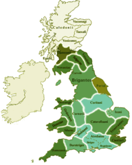
Counties In Uk
1042 x 1670 - 111,306k - gif
England
2769 x 3553 - 936,365k - jpg
England Large Map
1200 x 1540 - 620,120k - png
England Map
760 x 1185 - 118,397k - jpg
England Map 2
465 x 650 - 34,449k - jpg
Europe Location England
1600 x 1200 - 121,832k - png
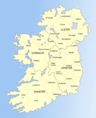
Ireland
684 x 788 - 44,987k - gif
Ireland 1
1844 x 2450 - 256,211k - jpg
Ireland 2
813 x 998 - 112,557k - gif
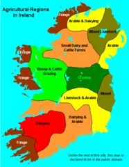
Ireland Maps Island Agriculture
429 x 553 - 14,313k - gif
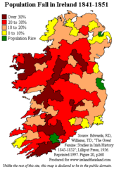
Ireland Population Change 1841 1851
358 x 531 - 11,234k - png
Ireland Uk
1266 x 1167 - 641,699k - gif
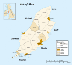
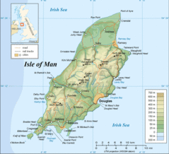
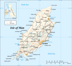
Isle of Man
1091 x 996 - 61,189k - gif
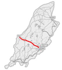
Isle of Man A1 Road
436 x 491 - 22,353k - png
Isle of Man Cities Villages
690 x 815 - 7,661k - png
Isle of Man Parishes By Sheading
834 x 856 - 8,732k - png
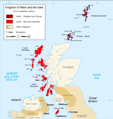
Kingdom of Mann And the Isl
914 x 966 - 93,000k - gif
Map England
322 x 550 - 62,394k - gif
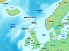
Map of Faroe Islands In Europe
1433 x 1068 - 343,228k - png
Map of Isle of Man
1564 x 1424 - 353,558k - gif
Map of Isle of Man 2
1564 x 1436 - 310,005k - gif
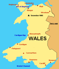
Map of Wales Gif
379 x 441 - 6,794k - GIF
Map of Wales
760 x 1185 - 122,344k - jpg