Turkey In Europe Historical Map
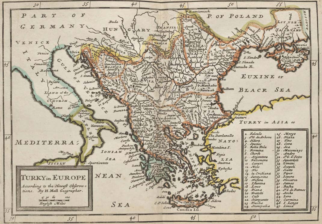
Click on the Turkey In Europe Historical Map to view it full screen. File Type: jpg, File size: 182993 bytes (178.7 KB), Map Dimensions: 1071px x 747px (16777216 colors)
More Republic of Turkey Static Maps
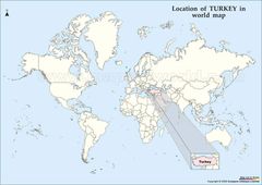
Location of Turkey Map
1121 x 794 - 88,842k - jpg
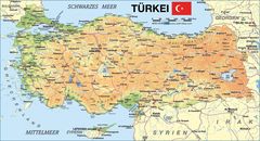
Map of Turkey
2531 x 1366 - 499,631k - jpg
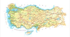
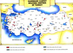
Map Turkey
1787 x 952 - 208,731k - jpg
Turkeymap
2000 x 1446 - 255,593k - jpg
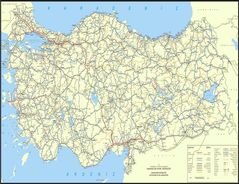
Turkey Map
1800 x 1386 - 383,793k - jpg
Turkey Map 2
2400 x 1245 - 263,158k - jpg
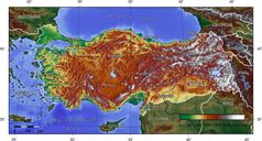
Turkey Topografical Map
1400 x 752 - 194,160k - jpg
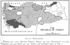
1927 Widowhood Turkey
824 x 533 - 109,138k - png
800px Sevr Antlasmasi
800 x 416 - 21,510k - png
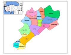
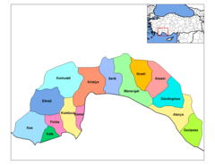
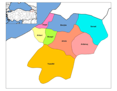
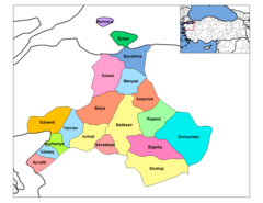
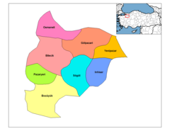
Afyonkarahisar Districts
1056 x 816 - 17,777k - png
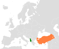
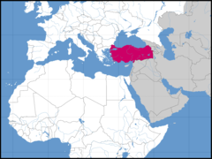
Albania Turkey Locator 1
1200 x 1000 - 24,686k - png

Alevis
749 x 353 - 21,165k - png
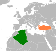
Algeria Turkey Locator 1
1160 x 1056 - 23,327k - png
Antalya Districts
1056 x 816 - 16,703k - png
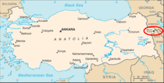
Ararat Location
634 x 324 - 20,535k - png
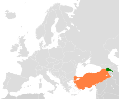
Armenia Turkey Locator 2
1200 x 1000 - 24,967k - png
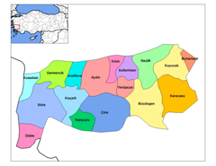
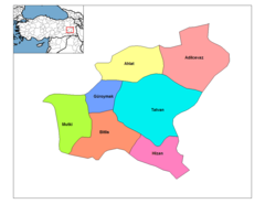
Artvin Districts
776 x 600 - 18,127k - png
Asia Location Tur
1600 x 1200 - 80,664k - png
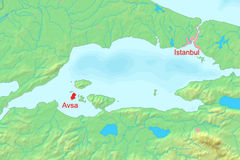
Avsha Marmara Map
600 x 400 - 101,222k - jpg
Aydin Districts
1056 x 816 - 18,163k - png
Balikesir Districts
1056 x 816 - 20,608k - png
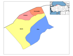
Bartin Districts
1056 x 816 - 12,045k - png
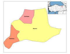
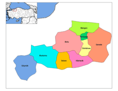
Batman Districts
1056 x 816 - 12,792k - png
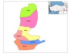
Bayburt Districts
1056 x 816 - 11,648k - png
Bilecik Districts
1056 x 816 - 14,038k - png
Bitlis Districts
1056 x 816 - 13,577k - png
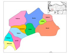
Bolu Districts
776 x 600 - 17,101k - png
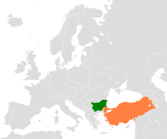
Bulgaria Turkey Locator 2
1200 x 1000 - 24,689k - png
Burdur Districts
1056 x 816 - 15,830k - png
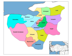
Bursa Districts
776 x 600 - 21,759k - png