Syria (Syrian Arab Republic), SY
Syria: This West Asian nation, with Damascus as its capital, is characterized by diverse landscapes ranging from fertile plains to mountains and deserts.
About

Country Snapshot
Syrian Arab Republic at a glance
Syrian Arab Republic currently has 5 quality-checked populated place pages and 14 state or regional pages linked on MapSof.
Mapped cities & towns
5
These counts use a stricter populated-place filter so the main lists stay focused on real city and town pages.
States & regions
14
Open related pagesLargest city
AleppoPopulation 1,916,781
Top linked places
Quick Facts about Syrian Arab Republic
| Population | 25,620,000 |
| Country | Syria |
| Plate code | SYR |
| Area | 185180 km2 |
| Official name | Syrian Arab Republic, la République arabe syrienne, الجمهورية العربية السورية |
| Continent | Asia |
| Easternmost point | Point(42.376111111 37.076666666) |
| Northernmost point | Point(42.22 37.318472222) |
| Latitude & Longitude | 35.0000,38.0000 |
| Legislative body | People's Council of Syria |
| Official language | Arabic |
| Capital | Damascus |
| Establishment | March 08, 1920 (106 years ago) |
| Time Zone | UTC+02:00, UTC+03:00 |
| Local time | 10:15:14 (14th July 2026) |

Geography
Syrian Arab Republic is located at 35°0'0"N 38°0'0"E (35.0000000, 38.0000000). It has 5 neighbors: Iraq, Jordan, Lebanon, Israel and Turkey.
Syria map
The largest city of Syrian Arab Republic is Aleppo with a population of 1,916,781. Other cities include, Damascus population 1,754,000 and Al Qaryatayn population 37,820. See all Syrian Arab Republic cities & populated places.
Official website of Syrian Arab Republic
Official WebsiteCompare Syrian Arab Republic with
- As-Suwayda Governorate
- Rif Dimashq Governorate
- Deir ez-Zor Governorate
- Al-Hasakah Governorate
- Latakia Governorate
- Al-Raqqah Governorate
- Tartus Governorate
- Idlib Governorate
- Daraa Governorate
- Homs Governorate
- Damascus Governorate
- Aleppo Governorate
- Hama Governorate
- Quneitra Governorate
Demographics
| Year | Population | % Change | Method |
|---|---|---|---|
| 1960 | 4,592,777 | - | census |
| 1961 | 4,742,596 | 3.16% | census |
| 1962 | 4,897,428 | 3.16% | census |
| 1963 | 5,057,825 | 3.17% | census |
| 1964 | 5,224,579 | 3.19% | census |
| 1965 | 5,398,333 | 3.22% | census |
| 1966 | 5,579,283 | 3.24% | census |
| 1967 | 5,767,478 | 3.26% | census |
| 1968 | 5,963,248 | 3.28% | census |
| 1969 | 6,166,933 | 3.3% | census |
| 1970 | 6,378,802 | 3.32% | census |
| 1971 | 6,599,366 | 3.34% | census |
| 1972 | 6,828,765 | 3.36% | census |
| 1973 | 7,066,474 | 3.36% | census |
| 1974 | 7,311,685 | 3.35% | census |
| 1975 | 7,564,000 | 3.34% | census |
| 1976 | 7,822,610 | 3.31% | census |
| 1977 | 8,088,148 | 3.28% | census |
| 1978 | 8,363,346 | 3.29% | census |
| 1979 | 8,651,904 | 3.34% | census |
| 1980 | 8,956,156 | 3.4% | census |
| 1981 | 9,277,280 | 3.46% | census |
| 1982 | 9,613,572 | 3.5% | census |
| 1983 | 9,960,919 | 3.49% | census |
| 1984 | 10,313,558 | 3.42% | census |
| 1985 | 10,667,245 | 3.32% | census |
| 1986 | 11,020,570 | 3.21% | census |
| 1987 | 11,374,437 | 3.11% | census |
| 1988 | 11,729,760 | 3.03% | census |
| 1989 | 12,088,336 | 2.97% | census |
| 1990 | 12,451,539 | 2.92% | census |
| 1991 | 12,818,302 | 2.86% | census |
| 1992 | 13,187,960 | 2.8% | census |
| 1993 | 13,562,742 | 2.76% | census |
| 1994 | 13,945,646 | 2.75% | census |
| 1995 | 14,338,240 | 2.74% | census |
| 1996 | 14,746,306 | 2.77% | census |
| 1997 | 15,168,523 | 2.78% | census |
| 1998 | 15,591,261 | 2.71% | census |
| 1999 | 15,995,760 | 2.53% | census |
| 2000 | 16,371,208 | 2.29% | census |
| 2001 | 16,700,984 | 1.97% | census |
| 2002 | 16,994,676 | 1.73% | census |
| 2003 | 17,298,476 | 1.76% | census |
| 2004 | 17,676,012 | 2.14% | census |
| 2005 | 18,294,611 | 3.38% | census |
| 2006 | 18,914,977 | 3.28% | census |
| 2007 | 19,632,806 | 3.66% | census |
| 2008 | 20,325,443 | 3.41% | census |
| 2009 | 20,824,893 | 2.4% | census |
| 2010 | 21,018,834 | 0.92% | census |
| 2011 | 20,863,993 | -0.74% | census |
| 2012 | 20,420,701 | -2.17% | census |
| 2013 | 19,809,141 | -3.09% | census |
| 2014 | 17,064,854 | -16.08% | census |
| 2015 | 17,997,408 | 5.18% | (Worldbank) |
| 2016 | 17,453,933 | -3.11% | (Worldbank) |
| 2017 | 18,269,868 | 4.47% | census |
| 2018 | 18,284,407 | 0.08% | census |
| 2019 | 18,499,181 | 1.16% | census |
| 2026 | 25,620,000 | 27.79% |
Map & Images (more maps)
000 Siria Harta
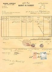
Aleppo State Official Document
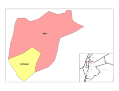
Ajlun Nahias

Al Hasani Nakkash 1941
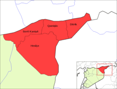
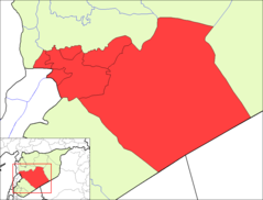
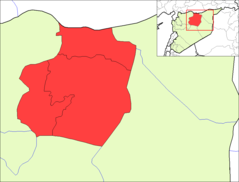
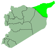
Al Hasakah Districts (ku)
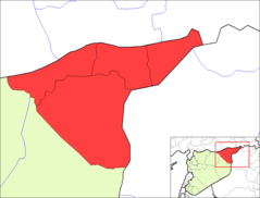
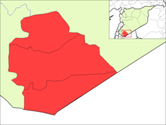
Al Hasakah Districts
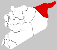
Al Hasakah Map

Aleppo Districts (ku)
Aleppo Districts
Ar Raqqah Districts
As Suwayda Districts
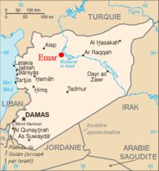
Carte Syrie Ville Emar Fr
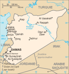
Carte De La Syrie Fr
Daraa Districts
Deir Ez Zor Districts

Flag Map of Syria
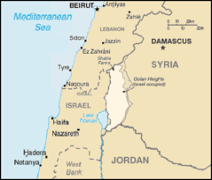
Golan Heights Map

Hama Blank Districts
Hama Districts
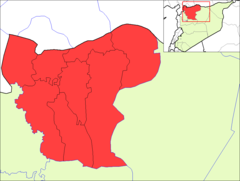
Hasakah