State of Karnataka, Karnataka
State of Karnataka: Issued under Article 371J(1) of the Constitution of India.
About
Quick Facts about State of Karnataka
| Country : | India |
| State : | Karnataka (India) |
| Time Zone : | Asia/Kolkata |
| Local time : | 08:00:24 (19th April 2024) |
Geography
State of Karnataka is located at 14°40'0"N 75°49'60"E (14.6666700, 75.8333300).
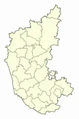
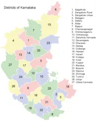
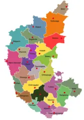
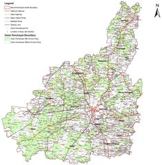
State of Karnataka map
The largest city of State of Karnataka is Bengaluru with a population of 11,250,000. Other cities include, Mysore population 868,313, Hubli population 840,214, Belgaum population 428,720 and Mangalore population 417,387. See all State of Karnataka cities & populated places.
- Official Website
Official website of State of Karnataka
Carnatica, Estat de Karnataka, KA, Karnataka, Karnatako, Karnotako, Karnátaka, Karnātaka, Mysore, State of Karnataka, State of Karnātaka, State of Mysore, ka na ta ke bang, kaleunataka ju, karanataka, karnataka, karnatakarajyam, karnnataka, karunataka zhou, karunatakam, rath krnat ka, Καρνάτακα, Карнатака, Карнотако, קארנאטאקא, קרנאטקה, كارناتاكا, کارناتاکا, کرناٹک, ކަރްނާޓަކާ, कर्णाटकराज्यम्, कर्नाटक, কর্ণাটক, ਕਰਨਾਟਕ, કર્ણાટક, କର୍ଣ୍ଣାଟକ, கருநாடகம், కర్ణాటక, ಕರ್ನಾಟಕ, കർണാടക, รัฐกรณาฏกะ, ཁར་ན་ཀྲ་ཁཱ།, კარნატაკა, カルナータカ州, 卡纳塔克邦, 카르나타카 주
