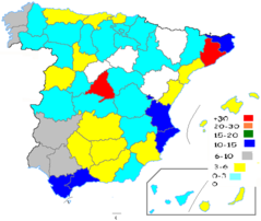
Population Densities In Spain 2005
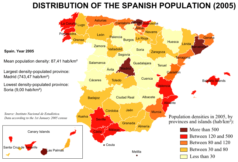
Click on the Population Densities In Spain 2005 to view it full screen. File Type: png, File size: 61447 bytes (60.01 KB), Map Dimensions: 783px x 533px (256 colors)
More Kingdom of Spain Static Maps
Provinces of Spain (blank Map)
1705 x 1185 - 26,051k - png
Ccaa of Spain (blank Map)
1705 x 1185 - 18,275k - png
Spain Municipalities
1200 x 827 - 276,470k - png
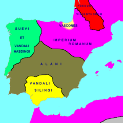
Hispania 418 Ad
2500 x 2500 - 72,058k - png
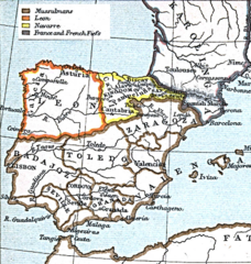
Leon 1030
620 x 654 - 268,204k - png
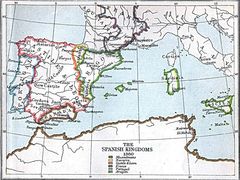
Spanish Kingdoms 1360
1151 x 863 - 224,461k - jpg
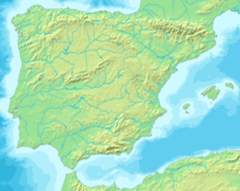
Mapa Iberia Minifisico
294 x 234 - 21,479k - png
000 Spanja Harta
328 x 352 - 6,731k - png
Agloesp
490 x 455 - 8,240k - png
Airports Spain
1024 x 722 - 114,976k - jpg
Atlasrange
816 x 472 - 276,683k - jpg
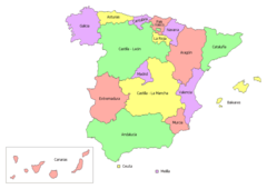
Autonomous Communities of Spain No Names
920 x 845 - 25,546k - png
Autonomous Communities of Spain With Other Countries No
920 x 654 - 29,615k - png
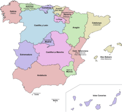
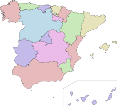
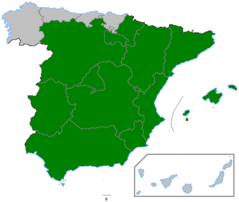
Autonomous Communities of Spain
920 x 845 - 37,061k - png
Autonomous Communities of Spain 01
892 x 632 - 21,562k - png

Autonomous Communities of Spain Interlang
892 x 632 - 20,765k - png
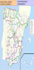
Autovia Mapas
1800 x 3670 - 509,650k - jpg
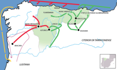
Bellum Asturicum Cantabricum
1147 x 686 - 41,176k - png
Capraboinspain
467 x 394 - 5,628k - png
Carrefour In Spain
467 x 394 - 9,329k - png
Castilla La Vieja
493 x 400 - 17,215k - png
Castilla1
1705 x 1185 - 28,626k - png
Castilla2
1705 x 1185 - 28,544k - png
Castros Con Defensas Chevaux De Frise
688 x 400 - 53,942k - jpg
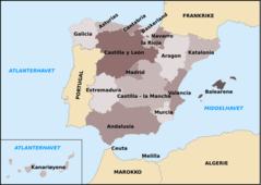
Ccaa Spain
1705 x 1185 - 45,807k - png
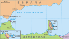
Ceuta Melilla
776 x 443 - 23,810k - png
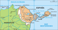
Ceuta
1993 x 1038 - 153,537k - png
Coasts of Spain Map
469 x 398 - 8,062k - png
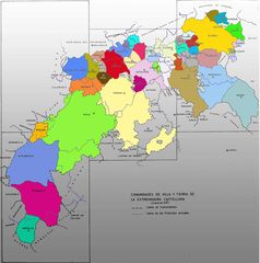
Comunidades De Villa Y Tierra
1200 x 1210 - 88,625k - jpg
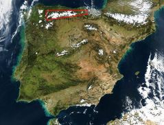
Cordillera Cantabrica
1000 x 760 - 153,512k - jpg