South America Political Map

Click on the South America Political Map to view it full screen. File Type: gif, File size: 105720 bytes (103.24 KB), Map Dimensions: 1504px x 1499px (32 colors)
More South America Static Maps
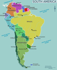
Map of South America
1131 x 1376 - 93,057k - png
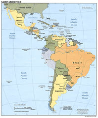
Map of Latin America
1000 x 1215 - 247,486k - jpg
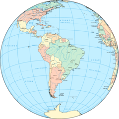
Political South America Globe
1500 x 1500 - 194,574k - png
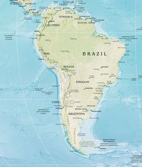
South America
950 x 1262 - 139,400k - jpg
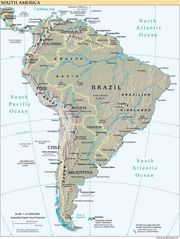
South America Reference Map
1220 x 1588 - 431,226k - png
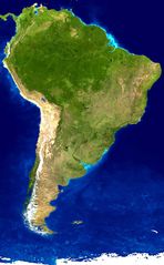
South America Satellite Image
1093 x 1764 - 198,366k - jpg
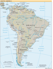
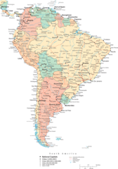
South America Political Map
1504 x 1499 - 105,720k - gif
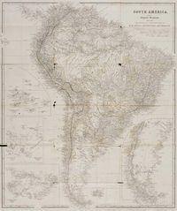
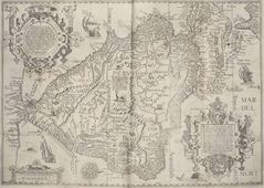
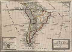
Historical Map South America
1200 x 1434 - 296,519k - jpg

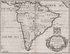
Historical Map South America (1704)
1200 x 930 - 208,691k - jpg
Historical Map South America 5
1200 x 930 - 208,691k - jpg
South America Continent Physical Map
1096 x 1430 - 341,258k - jpg
South America Historical Map
1495 x 1064 - 359,479k - jpg
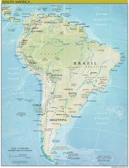
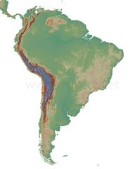
South America Physical Map
1125 x 1448 - 331,011k - jpg
South America Physical Map 2
1564 x 1840 - 483,583k - jpg

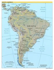
South America Physical Map 3
1125 x 1448 - 331,011k - jpg
South America Blank Physical Map
1920 x 2400 - 275,485k - jpg
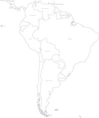
South America Blank Political Map
1339 x 1600 - 82,477k - jpg
South America Historical Map (political)
1060 x 772 - 160,877k - jpg
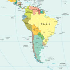
South America Political Map 1
1536 x 2200 - 328,765k - png
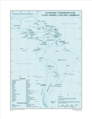
Eclac Members
2550 x 3300 - 299,891k - png