South America,
South America:
About
Quick Facts about South America
| Area | 17843000 km2 |
| Has part | French Guiana, Guyana, Brazil, Chile, Islas Malvinas, Caribbean, South Georgia and the South Sandwich Islands, Ecuador, Suriname, Bolivia, Colombia, Argentina, Peru, Uruguay, Paraguay, Venezuela |
| Latitude & Longitude | -14.6048,-57.6563 |
| Time Zone | America/Recife |
| Local time | 16:52:25 (26th May 2026) |
Geography
South America is located at 14°36'17"S 57°39'23"W (-14.6048471550539, -57.65625).
South America map
Click "full screen"  icon to open full mode. View satellite images
- Bolivia
- Venezuela
- Ecuador
- Brazil
- Trinidad and Tobago
- Guyana
- Chile
- Peru
- Paraguay
- Uruguay
- Argentina
- Colombia
Abya Yala, America Meridional, America del Sud, America del Sur, America do Sul, America meridionale, Amerika Selatan, Amerique du Sud, Ameryka Poludniowa, Amèrica del Sud, América Meridional, América del Sud, América del Sur, América do Sul, Amérique du Sud, De America, Del-Amerika, Dienvidamerika, Dél-Amerika, Etelae-Amerikka, Etelä-Amerikka, Gueney Amerika, Güney Amerika, Hego-Amerika, Hegoamerika, Jizni Amerika, Jizní Amerika, Juzhna Amerika, Juzhnaja Amerika, Juzna Amerika, Lulli-Amerihkka, Lulli-Amerihkká, Meiricea Theas, Meiriceá Theas, Pietu Amerika, Sor-Amerika, Sudamerica, Sudameriko, Sudamérica, Sudur-Amerika, Suedamerika, Suramerica, Suramérica, Sydamerika, Sør-Amerika, Südamerika, Zuid-Amerika
Map & Images (more maps)
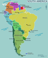
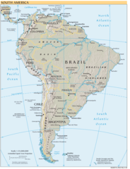
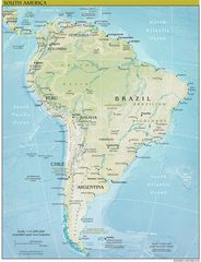
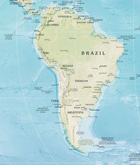
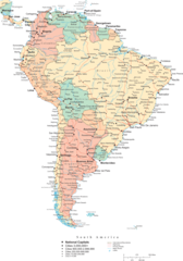
Map of South America
1131 x 1376
- 93,057k -
png
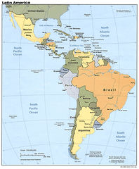
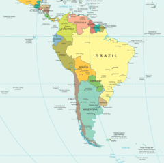
Map of Latin America
1000 x 1215
- 247,486k -
jpg
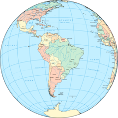
Political South America Globe
1500 x 1500
- 194,574k -
png
South America
950 x 1262
- 139,400k -
jpg
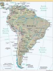
South America Reference Map
1220 x 1588
- 431,226k -
png
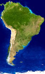
South America Satellite Image
1093 x 1764
- 198,366k -
jpg
South America Political Map
1504 x 1499
- 105,720k -
gif
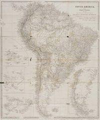
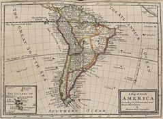
Historical Map South America
1200 x 1434
- 296,519k -
jpg

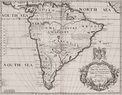
Historical Map South America (1704)
1200 x 930
- 208,691k -
jpg
Historical Map South America 5
1200 x 930
- 208,691k -
jpg
South America Continent Physical Map
1096 x 1430
- 341,258k -
jpg
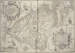
South America Historical Map
1495 x 1064
- 359,479k -
jpg
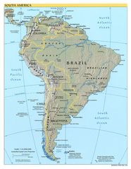
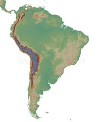
South America Physical Map
1125 x 1448
- 331,011k -
jpg
South America Physical Map 2
1564 x 1840
- 483,583k -
jpg

South America Physical Map 3
1125 x 1448
- 331,011k -
jpg
South America Blank Physical Map
1920 x 2400
- 275,485k -
jpg
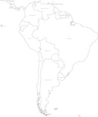
South America Blank Political Map
1339 x 1600
- 82,477k -
jpg
South America Historical Map (political)
1060 x 772
- 160,877k -
jpg
South America Political Map 1
1536 x 2200
- 328,765k -
png
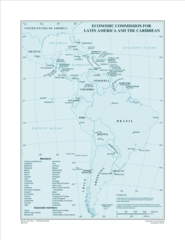
Eclac Members
2550 x 3300
- 299,891k -
png