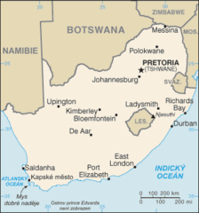
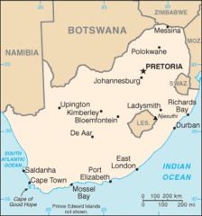
South Africa Political Map
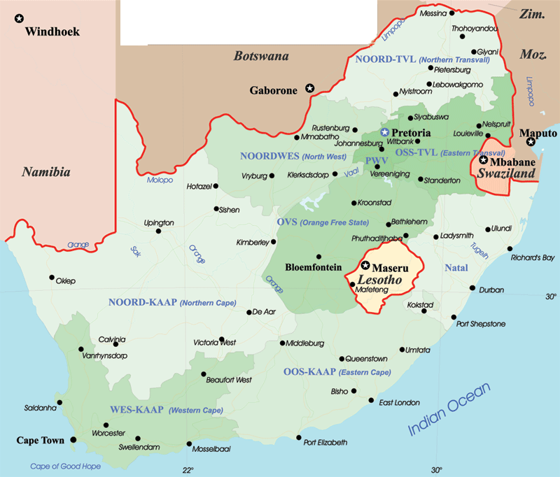
Click on the South Africa Political Map to view it full screen. File Type: png, File size: 104437 bytes (101.99 KB), Map Dimensions: 800px x 682px (256 colors)
More Republic of South Africa Static Maps
800px South Africa 2010 Fifa World Cup
800 x 566 - 9,296k - png
Africa Mapa
587 x 327 - 7,017k - gif
Afrikaansdistrib
1146 x 828 - 14,387k - gif
Bic00
2034 x 1158 - 88,452k - jpg
Cob Data South Africa
1357 x 628 - 27,373k - png
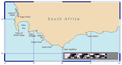
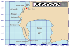
Capehopedetail
906 x 487 - 13,496k - png
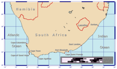
Capehopeoverview
907 x 541 - 17,404k - png
Capehopepeninsulamap
816 x 552 - 17,119k - png
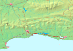
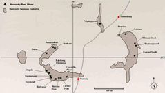
George Knysna Map
868 x 606 - 91,843k - png
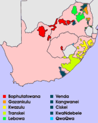
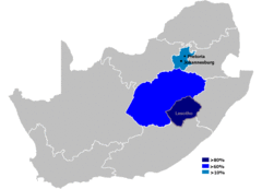
Homelands
199 x 250 - 5,216k - png
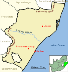
Jcw Map Natal Tugela
300 x 317 - 8,328k - png
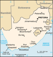
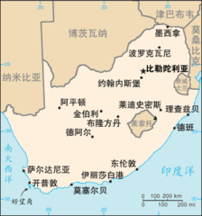
Kaart Suid Afrika
330 x 355 - 11,057k - png
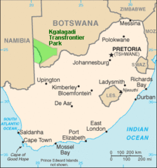
Kgalagadi Transfrontier Park Map
329 x 352 - 14,768k - gif
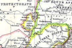
Map Stellaland
600 x 401 - 68,939k - jpg
Map of South Africa (1818)
384 x 288 - 19,460k - jpg
Mapa Jar
329 x 353 - 11,531k - png
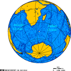
Orthographic Projection Centered On the Prince Edward Island
488 x 487 - 21,272k - png
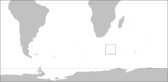
Pr Edward Isl Pos
782 x 385 - 6,589k - png
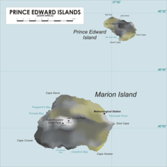
Predwisl Map
1200 x 1200 - 111,819k - png
Sesothodistrib
1146 x 828 - 15,034k - gif
Sf Map Zh Cn
329 x 353 - 13,540k - png
Sf Map
329 x 353 - 11,129k - png
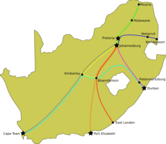
Shosholoza Meyl Routes
920 x 799 - 23,695k - png
South Africa Districts April 2006
1141 x 828 - 23,414k - png
South Africa Districts Template
1141 x 828 - 17,151k - png
South Africa Districts Showing Dmas
1145 x 828 - 20,291k - png
South Africa Districts Showing Gp
1141 x 828 - 17,297k - png
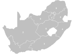
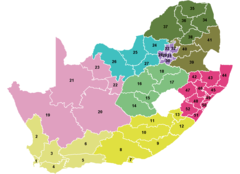
South Africa Provinces Numbered
1145 x 828 - 10,538k - png
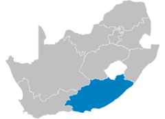
South Africa Provinces Showing Ec
1146 x 828 - 9,732k - png
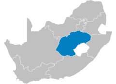
South Africa Provinces Showing Fs
1146 x 828 - 9,763k - png