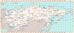
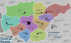
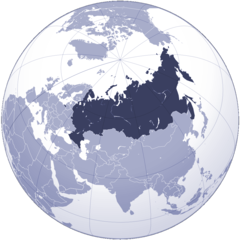
Central Russia Regions Map
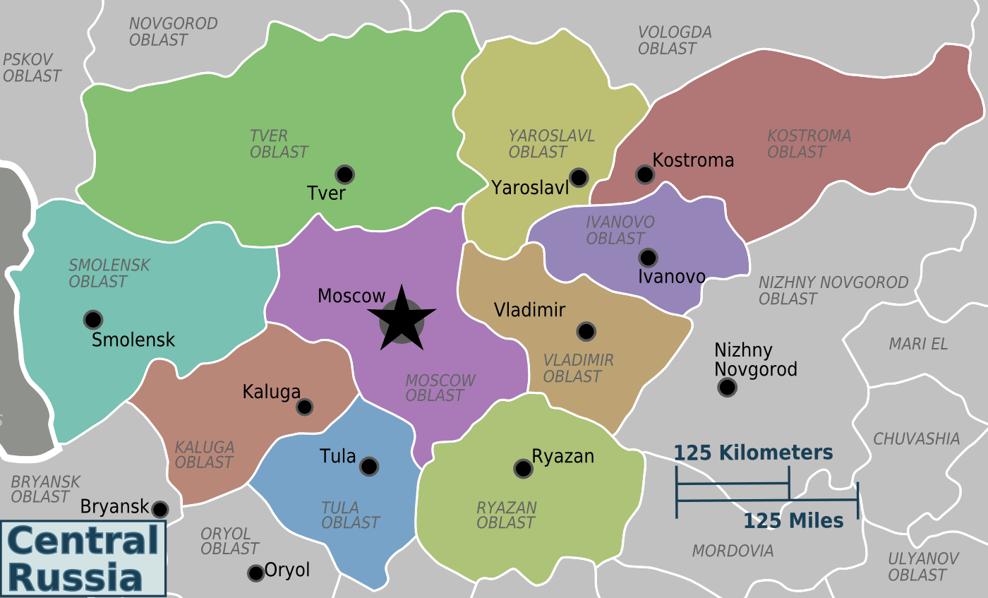
Click on the Central Russia Regions Map to view it full screen. File Type: png, File size: 86545 bytes (84.52 KB), Map Dimensions: 1400px x 847px (256 colors)
More Russian Federation Static Maps
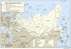
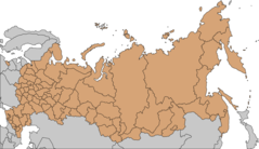
Administrative Divisions of Russia
1418 x 982 - 321,757k - gif
Big Map of Russia
1800 x 1094 - 293,306k - jpg
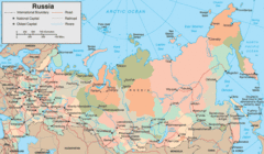
Map of Russia
1494 x 761 - 167,891k - gif
Map of Russia 2
915 x 533 - 87,157k - gif
Map of Russia Economic Regi
1680 x 1042 - 103,133k - gif
Map Russia
551 x 414 - 83,111k - gif
Map Russia 1
2774 x 1654 - 457,651k - jpg
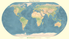
Physical Map of the World
3000 x 1522 - 593,230k - jpg
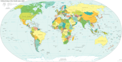
Political World Map
4499 x 2440 - 801,554k - gif
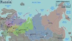
Russia
2204 x 986 - 564,693k - gif
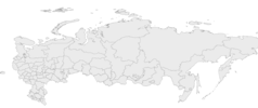
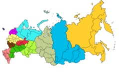
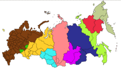
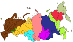
Russia Divisions
6269 x 2638 - 142,635k - png
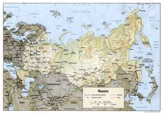
Russia Map
1628 x 1266 - 376,095k - jpg
Russia Map 3
1396 x 920 - 227,669k - jpg
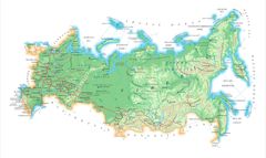
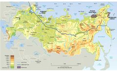
Russia Map Physical
1460 x 1020 - 292,385k - jpg
Russia Time Zones Map
1680 x 1050 - 110,417k - gif
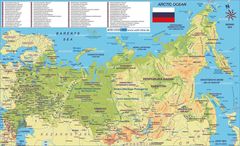
Topographic Map of Russia
2400 x 1805 - 336,208k - jpg
Central Russia Regions Map
1400 x 847 - 86,545k - png
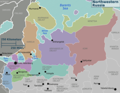
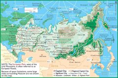
Northwestern Russia Regions
1200 x 923 - 108,848k - png
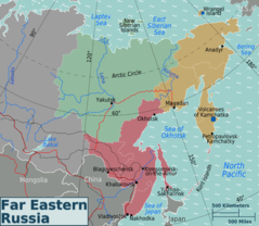
Russian Far East Regions Map
2400 x 2086 - 302,116k - png
Russia Flag Map
2048 x 1212 - 69,398k - png
Russia Regions Map
2400 x 1379 - 357,341k - png
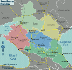
Southern Russia Regions Map2
1200 x 1173 - 143,683k - png
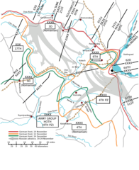
Map Battle of Stalingrad
2000 x 2446 - 305,138k - png
Map of Russian Outline
2000 x 1154 - 35,501k - png
Russia 1
2000 x 1154 - 140,036k - png

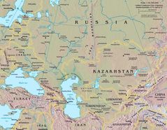
Russia And Central Asia Map
1628 x 1266 - 373,084k - jpg
Russia Physical
1481 x 906 - 182,920k - jpg
Russia Time Zone Map
1375 x 805 - 74,344k - png
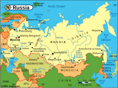
Where Is Russia Located
1000 x 1000 - 131,357k - png
Frmussr
2636 x 2005 - 332,055k - png