Economic Activity Map of Portugal 1972
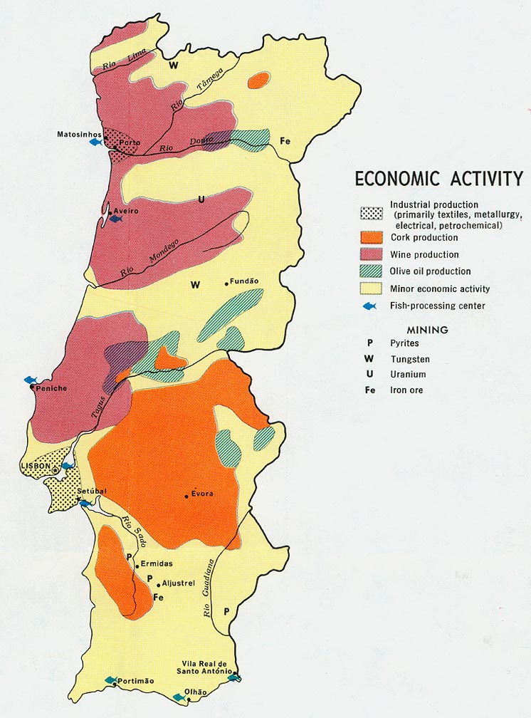
Click on the Economic Activity Map of Portugal 1972 to view it full screen. File Type: jpg, File size: 156976 bytes (153.3 KB), Map Dimensions: 746px x 1008px (16777216 colors)
More Portuguese Republic Static Maps
Mapa Iberia Minifisico 1
294 x 234 - 21,479k - png
278px Po Map Fatima
278 x 599 - 12,208k - png
328px Mapa De Portugal Distritos Plain2
300 x 300 - 6,675k - png
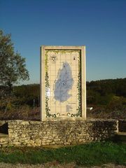
Alcobertas Rio Maior
960 x 1280 - 292,370k - jpg
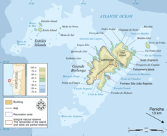
Berlengas En
920 x 748 - 46,711k - png
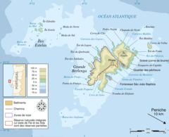
Berlengas Fr
920 x 748 - 47,441k - png

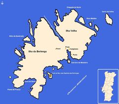
Berlengas Pt
920 x 748 - 48,533k - png
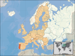
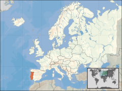
Eu Location Por
1600 x 1200 - 260,546k - png
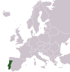
Europe Location Por
1200 x 900 - 245,643k - png
Macaronesia
281 x 356 - 17,822k - jpg
Map Parque Natural Do Sudoeste Alentejano E Costa Vicentina
395 x 850 - 40,624k - gif
Mapa Da Cidade De Almada
375 x 451 - 9,272k - gif
Mapa Das Berlengas
1406 x 1228 - 108,234k - jpg
Mapa De Portugal Tribos Principais
335 x 728 - 13,438k - png
Mapa De Portugal 2
335 x 428 - 6,559k - png
Po Map Es
340 x 733 - 13,259k - png
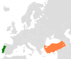
Portugal Turkey Locator
1200 x 1000 - 24,674k - png
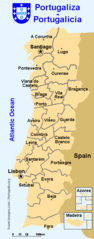
Portugalicia Map
360 x 916 - 17,911k - gif
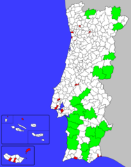
Portuguese Municipalities Area
1162 x 1477 - 43,693k - png
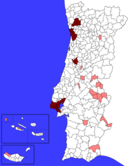
Portuguese Municipalities Density1
1162 x 1477 - 43,452k - png
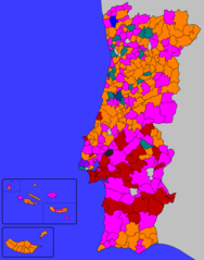
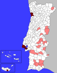
Portuguese Municipalities Parties
1162 x 1477 - 45,818k - png
Portuguese Municipalities Population1
1162 x 1477 - 43,013k - png
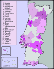
Vinos Doc De Portugal
273 x 353 - 11,766k - png
000 Portugalia Harta
325 x 713 - 10,047k - png
Locationportugalineurope
415 x 422 - 5,422k - png
Po Map
340 x 733 - 12,215k - png
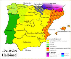
Sprachen Auf Der Iberischen Halbinsel
999 x 842 - 237,046k - jpg
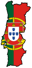
Portugal Flag Map
499 x 1041 - 42,074k - png
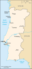
Portugal Map
650 x 1181 - 35,684k - png
Portugal Cities Map
515 x 1065 - 49,054k - png