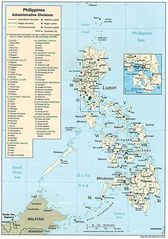
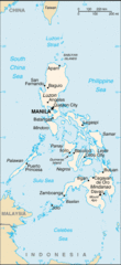
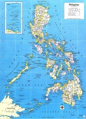
Political Map of Philippines
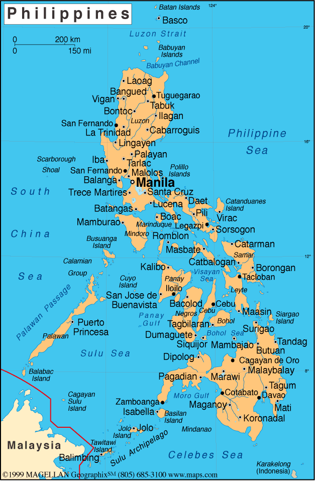
Click on the Political Map of Philippines to view it full screen. File Type: gif, File size: 94716 bytes (92.5 KB), Map Dimensions: 627px x 962px (256 colors)
More Republic of the Philippines Static Maps
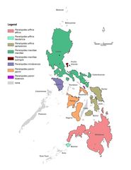
Genera Penelopides
1221 x 1581 - 115,245k - jpg
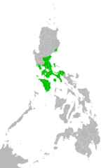
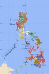
Katagalugan
2000 x 3120 - 61,677k - png
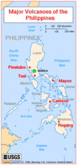
Majorvolcanoesofthephilippines Usgs
351 x 752 - 24,402k - gif
Map of Philippines
1800 x 2453 - 263,730k - jpg
Map of Rrsea Philippines
2250 x 2775 - 405,651k - jpg
Map of the Philippines Demis
814 x 1228 - 174,490k - png
Map Philippines
1002 x 1426 - 243,105k - jpg
Map Philippines 2005
328 x 716 - 20,616k - gif
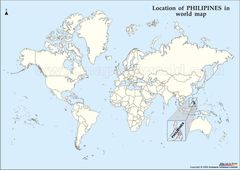
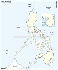
Philipines Location Map
1122 x 795 - 89,913k - jpg
Philippines Country Map
1200 x 1696 - 945,210k - png
Philippines
976 x 1390 - 311,048k - gif
Philippines 1
969 x 1384 - 155,361k - jpg
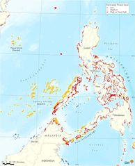
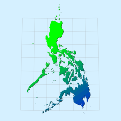
Philippines Forest Cover 1987
1123 x 1587 - 171,608k - jpg
Philippines General Map
392 x 600 - 24,225k - png
Philippines Industry And Mining
751 x 1067 - 101,400k - jpg
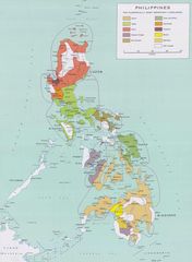
Philippines Languages
600 x 900 - 44,547k - jpg
Philippines Large
1000 x 1000 - 21,420k - png
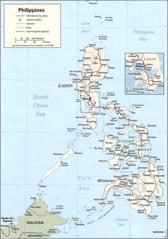
Philippines Map
800 x 1111 - 171,715k - jpg
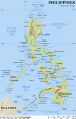
Philippines Physical Map
600 x 940 - 78,160k - png
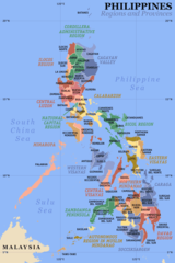
Philippines Regions And Provinces
600 x 900 - 54,137k - png
Philippines Satalleti 1km
1150 x 1500 - 335,240k - jpg
Philippines Tagalog
600 x 900 - 12,512k - jpg
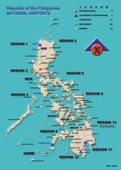
Philippine Airport Map
800 x 1127 - 93,182k - jpg
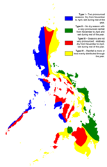
Philippine Climate Map
2000 x 3120 - 55,848k - png
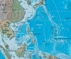
Philippine Sea Location
750 x 625 - 76,896k - jpg
Phillippines Outline Map
820 x 992 - 60,291k - jpg
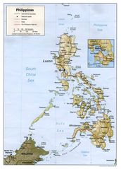
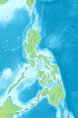
Physical Philippines Map
1048 x 1454 - 187,313k - jpg
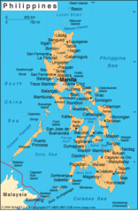
Political Map of Philippines
627 x 962 - 94,716k - gif
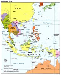
Se Asia Pol 95
1008 x 1240 - 167,941k - jpg
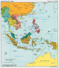
Southeast Asia Political Map Cia 2003
1098 x 1266 - 229,919k - jpg