Paris Montmartrobus Map
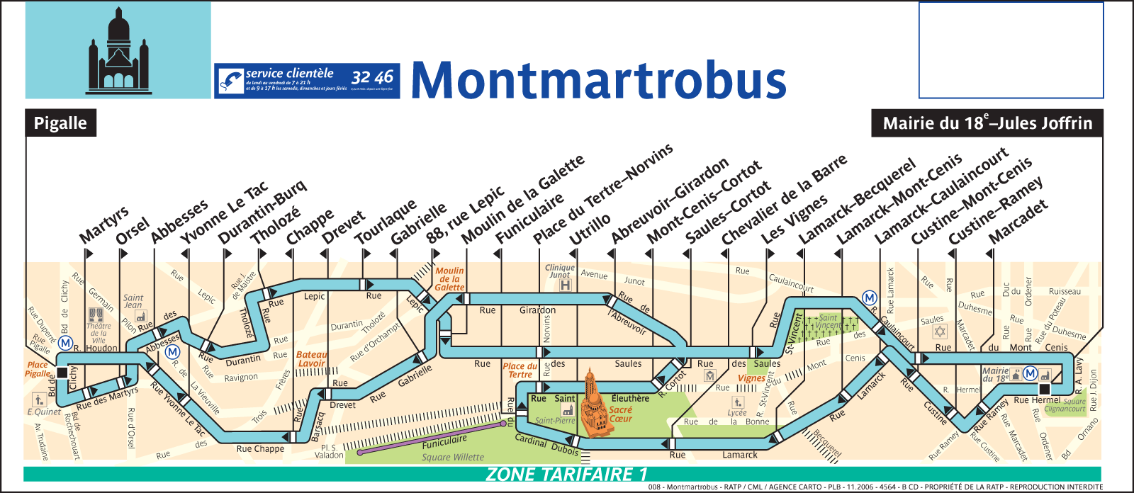
Click on the Paris Montmartrobus Map to view it full screen. File Type: png, File size: 112852 bytes (110.21 KB), Map Dimensions: 1600px x 696px (256 colors)
More Paris Static Maps
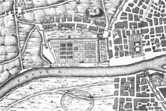
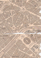
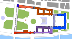
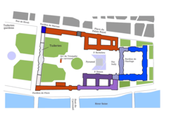
Map of Tuileries And Louvre, As In C 1589
999 x 671 - 584,775k - png
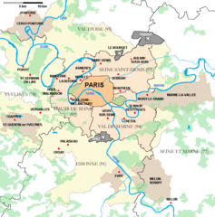
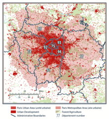
Agglomeration Parisienne
800 x 809 - 39,693k - png
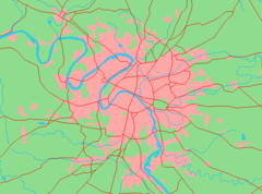
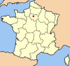
Area Metropolitana Paris
598 x 443 - 15,540k - png
Bridges of Central Paris
915 x 365 - 20,768k - png
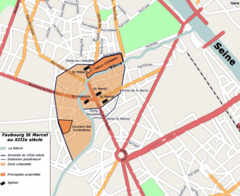
Carte St Marcel
830 x 679 - 68,259k - png
Champs De Mars
484 x 687 - 303,698k - png
Circonscriptions Legislatives De Paris
700 x 388 - 19,811k - png
Enceinte Philippe Auguste 1223 Paris
774 x 856 - 194,531k - jpg
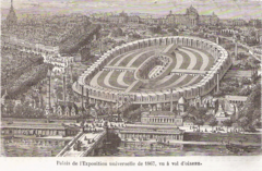
Exposition Universelle De 1867
920 x 603 - 476,709k - png
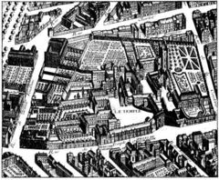
Hoffbauer Brezet Temple1734
640 x 527 - 128,786k - jpg

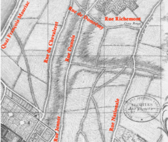
Hotel De La Reine Margueritet
1022 x 648 - 249,860k - jpg
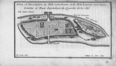
Ilestlouis
768 x 438 - 61,324k - jpg
La Gare Plan Jaillot
467 x 397 - 101,389k - png
Louvre Plan
911 x 500 - 18,710k - png
Louvre
1000 x 763 - 27,521k - png
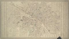
Map of Paris 1843 Pari000126
2100 x 1211 - 314,693k - jpg
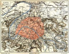
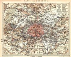
Meyers B12 S0719a
800 x 634 - 170,901k - jpg
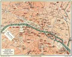
Meyers B12 S0719b
800 x 641 - 168,976k - jpg
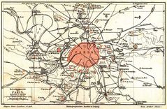
Meyers B12 S0719c
800 x 523 - 113,693k - jpg
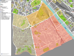
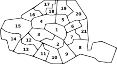
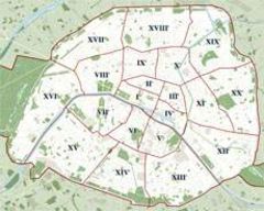
Paris 13th Quartiers
1200 x 912 - 285,663k - png

Paris Axe Historique
1579 x 236 - 28,162k - gif
Paris Petite Ceinture 1898
1800 x 1456 - 608,643k - jpg
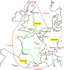
Paris Europe Train Map De
1024 x 1113 - 54,531k - png
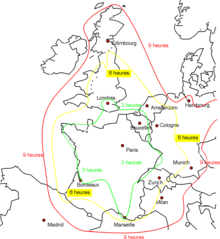
Paris Europe Train Map Fr
1024 x 1113 - 54,698k - png
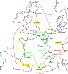
Paris Europe Train Map
1024 x 1113 - 54,184k - png
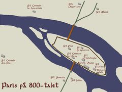
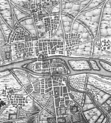
Paris In 9 Century
1289 x 975 - 72,297k - jpg
Paris Map
200 x 189 - 6,180k - png
Paris Plan Wee Green Jms
230 x 184 - 10,745k - jpg
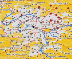
Paris Suburb Riots
339 x 280 - 43,106k - png
Paris Uu Ua Jms
570 x 622 - 91,638k - png